Scholastic
Study Jams! Landforms
First-class photographs dazzle your class as they are acquainted with Earth's various landforms. To reinforce learning, they can take a multiple-choice quiz, sing along to a karaoke song, or review key vocabulary terms, all on this...
Curated OER
Geographic Landforms
Each slide is a simple notebook page with one landform in blue and its definition in red. There are 26 vocabulary terms in all, some you may want to use, and others easily hidden. It is recommended that you add photos or other graphic...
Curated OER
Changing Landforms
Students investigate different types of landforms. In this landforms lesson, students explore landforms by participating in a WebQuest. Students research the reasons behind landforms changing and create a picture using KidPix.
Curated OER
Mountain Barriers
Students examine geographical change. In this mountain barriers lesson, students conduct an experiment to discover how mountains affect surrounding land. Students draw conclusions on how change in land affects plant and animal life.
Curated OER
Lesson Plan on Volcanoes
Fourth graders are able to label a diagram of a volcano with a least 3 of the following parts: the magma chamber, vents, dome, and caldarea. They break up into groups of four and design their own volvanoes using paper and drawing...
Curated OER
Ecosystems of the World
Middle schoolers are able to list different ecosystems and describe their environment and organisms. They have an understanding about the function and balance of the ecosystems. Students are able to tell what type of ecosystem the St....
Curated OER
Create a Country
Learners work in small groups to list features and elements found on a variety of grade- appropriate maps. They develop a class list of map features and elements to draw from as they create a map of an imaginary country.
Curated OER
Great Glaciers!
Seventh graders study the earths surface and how changes happen to it. In this glacier lesson students complete a lab activity to see how glaciers form.
Curated OER
Natural Features
Students identify natural features on a map. In this geography activity, students identify six physical features and create pictorial definitions for each term. The terms which are listed in this activity are mountain, hill, island,...
Curated OER
Mountain Puzzle
In this mountain puzzle, students identify famous mountain ranges. Examples include Blue Ridge, Smokies, and Rockies. A list of 15 mountains and mountain ranges are provided to assist students in their search.
Curated OER
Water, Rivers & Topography
Students explore the topography of Idaho and the importance of surface water and drainage. using digital maps, they inspect the courses of major rivers, Yellowstone Hot Spots, and the natural landscaping of Pocatello. Students explore...
Curated OER
Getting Down the Mountain
For this getting down the mountain worksheet, students complete a maze puzzle with a skier. First, they cover the things on the mountain that do not belong on the mountain. Then, students cut out the skier at the bottom of the sheet and...
Curated OER
Geologic Maps
Students explore geologic maps. They locate specified mountain ranges and faults on maps. Students compare and contrast the characteristics of mountain ranges and faults. They identify rivers, mountains and locate Z rocks.
Curated OER
Mountain Building
Students work in small groups. They are told that their task is to build a mountain in their dish pan that can withstand the effects of having a watering can emptied out on it. Students use creative extras to complete their mountains,...
Curated OER
Regions of South America
Students explore facts about South America in the four lessons of this unit. Booklets are created from the materials produced as the class delves into the topic.
Fourmilab Switzerland
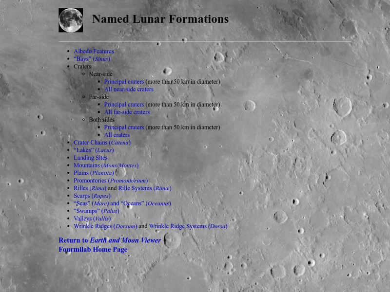
John Walker: Named Lunar Formations
This atlas of the Lunar surface features lists all named features. Click on a name and see an image of that item, or at least an image of the Moon centered on that item.
Georgetown University
Georgetown University: N. Scott Momaday (Kiowa) (B. 1934)
A Georgetown professor's perspective on teaching Momaday's work, focusing on "Rainy Mountain." Offers insights on form/style/artistic conventions, and major themes/personal issues/historical perspectives.
NASA
Nasa Space Science Data Archive: Photo Gallery: Venus
Photos of Venus' surface and cloud tops. Includes 3-D surface views. Thumbnail images load quickly and link to larger files for more detail.
TeachEngineering
Teach Engineering: Carve That Mountain
In this activity, students further investigate major landforms (e.g., mountains, rivers, plains, hills, oceans and plateaus). They build a three-dimensional model of a landscape depicting several of these landforms. Once they have built...
TeachEngineering
Teach Engineering: Tunnel Through!
Students apply their knowledge about mountains and rocks to transportation engineering, with the task of developing a model mountain tunnel that simulates the principles behind real-life engineering design. Student teams design and...
TeachEngineering
Teach Engineering: How Mountains Are Formed
Middle schoolers investigate how mountains are formed. Concepts include the composition and structure of the Earth's tectonic plates and tectonic plate boundaries, with an emphasis on plate convergence as it relates to mountain...
Curated OER
National Park Service: Great Smoky Mountains
Visit "America's Most Visited National Park. "Provides maps, weather, and park activities.
Curated OER
National Park Service: Creating Flat Topped Mountains
The NPS offers a good overview of the forces that create a plateau and experiments to help students understand. Lesson plan.
PBS
Pbs Kids: Plum Landing: Marmot Manor: Mountain Mission
After watching the "Marmot Manor: Mountain Mission" episode of PBS Kids' Plum Landing, students will draw a picture of the marmot's underground mountain home.


