Curated OER
Map of New York State
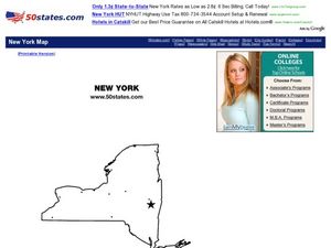
In this map worksheet, students view a blank map of New York. Worksheet does not come with any associated activities, but does have "dots" designating cities on the map.
University of Texas at Austin
Ut Library: Perry Castaneda Maps of New York
A collection of maps of the state of New York, including links to city maps, historical city maps, and maps of National Parks, Monuments, and historical places.
Enchanted Learning
Enchanted Learning: New York
This site has a colorful display of information about New York. It contains a map, pictures, a list of state symbols, and links to related information.
Other
State University of New York at Stony Brook: New York State Historical Maps
Historical maps of New York and descriptions of each map.
Johns Hopkins University
The Johns Hopkins University: New York State Maps
This site on maps is provided for by The Johns Hopkins University Applied Physics Laboratory. Have you ever wondered what New York state looks like from a satellite image? Find out by using this website. There are several other maps to...
DLTK
New York State Map
Provides a blank map of New York. Teachers will find many uses for this in the classroom. Students will enjoy coloring it and locating different parts of the state.


