Curated OER
North America Outline Map
In this blank outline map instructional activity, students investigate the political boundaries of the continent. This map may be used for a variety of classroom activities.
Curated OER
North America: Three Countries Map
In this North American political map worksheet, students examine the boundaries of the three countries of North America.
Curated OER
Americas: Political Map
In this North America and South America outline map worksheet, students examine the political boundaries of the 2 continents.
Curated OER
North America: Political Outline Map
In this North America political map worksheet, students examine the state and province boundaries of Mexico, Canada, and the United States.
Curated OER
North America Map
In this North America political map worksheet, learners examine the labeled countries and their respective national boundaries.
Curated OER
North America: Unlabelled Map
In this North America political map worksheet, students examine the unlabelled countries and their respective national boundaries.
Houghton Mifflin Harcourt
Holt, Rinehart and Winston: World Atlas: United States
Features a detailed map of the United States with some basic facts. Click on each state name to get even a more detailed map and information.
That Quiz
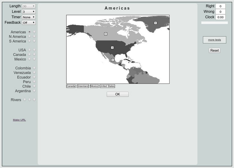
That Quiz: Practice Test: Americas
This resource provides a practice test which allows users to test their geographical knowledge of the Americas.


