Curated OER
The Rivers and Lakes of Alberta
Students are introduced to the online Atlas of Canada and they identify the lakes and major rivers of Alberta.
Curated OER
Discovering Dinosaurs: Planning your Summer Vacation
Students use the online Atlas of Canada to gather information about places in Canada.
Curated OER
Discovering Dinosaurs: Planning your Summer Vacation
Learners utilize the features of the Atlas of Canada website to plan an imaginary vacation from Victoria, British Columbia to Drumheller, Alberta.
Curated OER
Historical Research on Explorers of Canada
Eighth graders study an online atlas of Canada to research an early explorer.
Curated OER
Historical Research on Explorers of Canada
Eighth graders navigate an online Atlas of Canada to research an explorer. They examine the areas that were explored.
Geographyiq
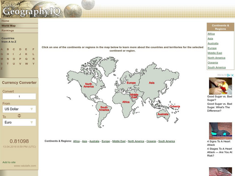
Geography Iq: World Map
Online world atlas allows you to click on one of the continents or regions in the map to learn more about the countries and territories for the selected continent or region.
Other
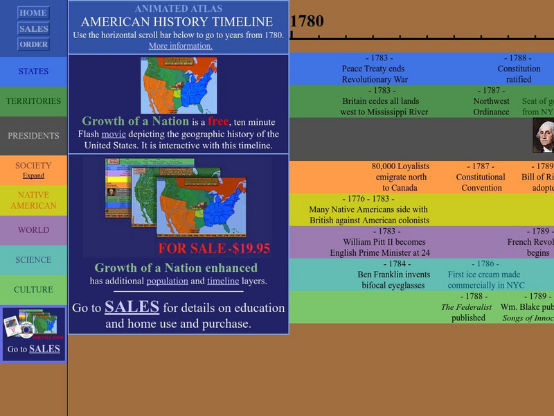
Animated Atlas: American History Timeline: 1780 2010
Animated timeline with layers showing states, territories, presidents, society, Native American tribes, world and scientific events, and cultural achievements in the United States from 1780-2010.


