Curated OER
Africa Political Map
In this blank outline map worksheet, students explore the political boundaries of the continent of Africa, the countries located there, and label other geographic features.
Curated OER
World War II Map
In this World War II map worksheet, students identify the labeled Axis and Allied countries on the map.
Curated OER
Mexico and Central America Map
In this blank outline map worksheet, students study the political boundaries of Mexico and Central America. Each of the counties is labeled and the capital cities are starred.
Curated OER
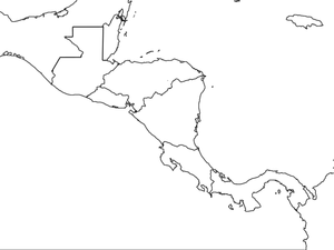
Central America Map wtih Country Borders
In this blank outline map worksheet, students explore the political boundaries of Central America and the nations there. This map may be used in a variety of classroom activities.
Curated OER
Europe Map
In this blank outline map worksheet, students explore the political boundaries of the continent of Europe. This map may be used in a variety of classroom activities.
Curated OER
Blank Europe Outline Map 2
In this blank outline map worksheet, students explore the political boundaries of the continent of Europe and those of the countries located there. This map may be used in a variety of classroom activities.
Curated OER
Blank Europe Outline Map
In this blank outline map worksheet, students explore the political boundaries of the continent of Europe and those of the countries located there. This map may be used in a variety of classroom activities.
Curated OER
Romania
In this blank outline map worksheet, students explore the political boundaries Romania located in Europe. This map may be used in a variety of classroom activities.
Johns Hopkins University
Johns Hopkins University: Arkansas State Maps
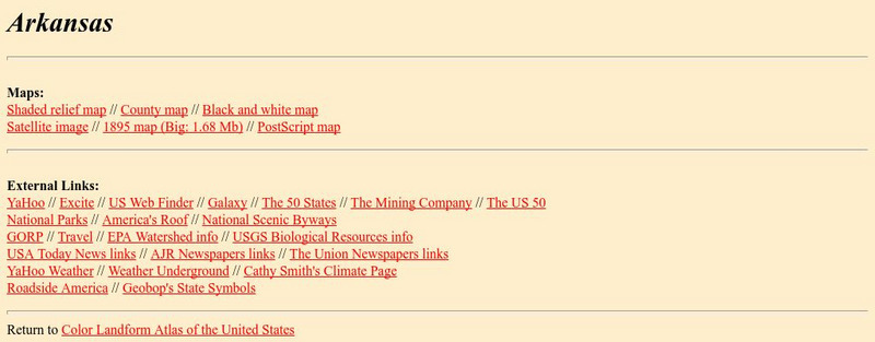
Learn more about the Arkansas' geography through the maps at this website from the Johns Hopkins University Applied Physics Laboratory. These maps give in depth information on the landforms found in Arkansas.
Johns Hopkins University
Johns Hopkins University: Arkansas State Maps
Learn more about the Arkansas' geography through the maps at this website from the Johns Hopkins University Applied Physics Laboratory. These maps give in depth information on the landforms found in Arkansas.


