Curated OER
Stranded along the Coast
Students plot stranding sites onto a map using latitude and longitude as well as compass directions with respect to coastal features. They identify several species of marine animals that might become stranded; distinguish their...
Curated OER
Coral Bleaching in the Caribbean
Students use authentic satellite data on the NASA website to determine when the sea surface temperature meets the criteria to induce coral bleaching.
Curated OER
Science: Hurricanes As Heat Engines
Students conduct Internet research to track the path of Hurricane Rita. They record the sea surface temperature of the Gulf of Mexico during and after the hurricane and draw conclusions about how hurricanes extract heat energy from the...
Curated OER
How to be a Great Navigator!
Young scholars, through teacher lecture and class discussion, explore historical methods of navigation: dead reckoning and celestial navigation.
Curated OER
Map Coordinate Bingo
Students play a bingo-type game to locate cities by coordinates. They explain the use of orientation on a map and identify cities in the western hemisphere. They compare road maps, shutttle images, and a CIR image and obtain an...
Curated OER
Tell Time With Your Feet
Students discover what the latitude and longitude of their location is. They start walking and measure their shadow. They fill in a chart to discover the approximate time.
Curated OER
Mission Planning: Geography
Students investigate the use of latitude and longitude to locate specific locations on Earth and evaluate that location as a potential landing site for researchers, terrestrial or alien space missions.
Curated OER
States with Attitude, Latitude and Longitude Dude
Sixth graders identify states whose boundaries are formed by lines of latitude and longitude or natural borders such as rivers. They trace a map of the U.S., and fill in borders, rivers and lines of latitude and longitude.
Curated OER
Finding Longitude and Latitude on Pennsylvania Maps
Students draw the lines of longitude and latitude on a map. Students look at a topographical maps to see how topography relates to land use.
Curated OER
How far have we traveled?
Young scholars practice longitude and latitude to determine given position on Earth's surface, convert and calculate angular measurements, and use Pythagorean Theorem to determine change in position or distance traveled between any two...
Curated OER
Navigation
Students study the basic methods for finding one's position on Earth. Latitude can be deduced from the height above the horizon of the pole star or of the noontime Sun, while longitude requires an accurate clock giving universal time.
Curated OER
Eagle Creek Park (A Hike)
Young scholars plot a hiking course using aerial photos and a topographic overlay and find the latitude and longitude of absolute locations. They measure the total distance of a hiked area and figure the area of the ground walked using...
Exploratorium
Exploratorium:seasons/shadows: Investigate How Shadows Shift Throughout the Year
Ancient Chacoans used shadows to tell daily time and seasons. Build a model that demonstrates the changes in Earth's tilt that affect the length of shadows relative to the sun that determines the seasons. The lesson plan uses everyday...
Science Buddies
Science Buddies: A Matter of Degrees: Tilt of Earth's Axis Affects the Seasons
In this science fair project, use a globe and a heat lamp to investigate how the angle of the Sun affects global warming. This project includes the objective, background questions, a list of all the materials you'll need, and the...
Pamela Seed
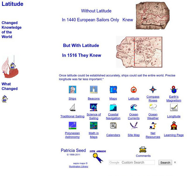
Rice: Latitude: The Art and Science of 15th Century Navigation
This is a great site to read about how navigation began in Europe and what tools were used. Make sure to read the segments on coastal navigation, maps, and ocean currents.
City University of New York
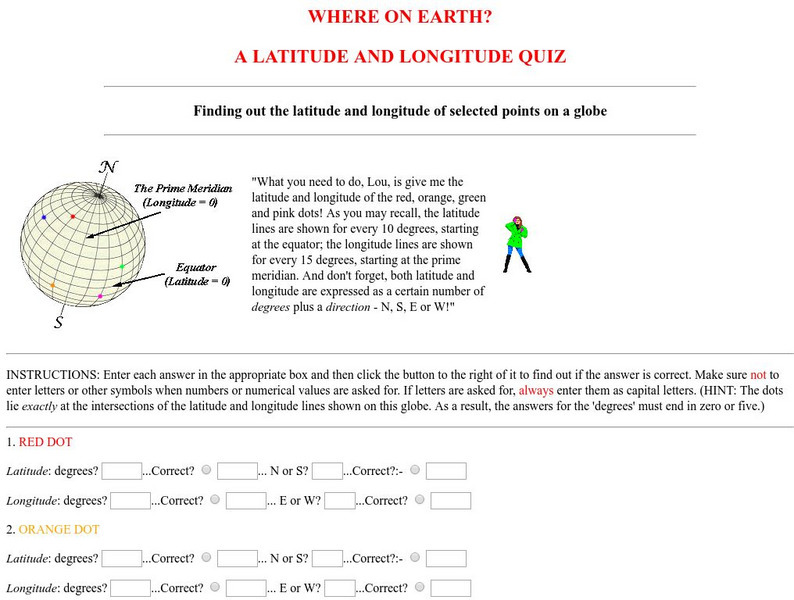
Virtual Geology: Where on Earth: A Latitude and Longitude Quiz
This quiz starts with select points on a globe. Students must determine the latitude, longitude, and direction for each point.
Harvard University
Harvard Smithsonian: Everyday Classroom Tools
The focus of this series of lessons is to engage students in an exploration of the world around them. The emphasis is on inquiry as students learn about the earth, sun, light, shapes and more.
Other
National Atlas
This site is excellent for mapping. You can create ANY kind of map you need. Select all kinds of layers: agriculture, biology, boundaries, climate, history, and more, and then select the geography. It does take some time to figure out...
Georgia Department of Education
Ga Virtual Learning: Life and Environment Relationships
In this amazingly comprehensive interactive tutorial you will learn about the characteristics and features of the different biomes on our planet.
Georgia Department of Education
Ga Virtual Learning: Weather and Climate
In this amazingly comprehensive interactive tutorial you will learn how factors such as ocean currents, topography, and air currents affect weather patterns. You will also learn the similarities and differences between weather and climate.
TeachEngineering
Teach Engineering: Who Can Make the Best Coordinate System?
Students learn about coordinate systems in general by considering questions concerning what it is that the systems are expected do, and who decided how they look. They attempt to make their own coordinate systems using a common area...
TeachEngineering
Teach Engineering: What's Wrong With the Coordinates at the North Pole?
Students complete a self-guided exercise in worksheet format combined with Google Earth that helps them explore practical and observable differences between different projection and coordinate systems. The activity improves their skills...
TeachEngineering
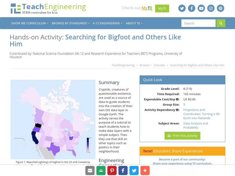
Teach Engineering: Searching for Bigfoot and Others Like Him
Cryptids, creatures of questionable existence, are used as a source of data to guide students into the creation of their own GIS data layer in Google Earth. The activity serves the purpose of a tutorial to teach students how to make data...
Mariners' Museum and Park
Mariners' Museum: Age of Exploration: Tools of Navigation
Sailors improved on many of the tools used in navigation to help them in their long journeys across an ocean. On this site from the Mariners' Museum, find many of these tools, perhaps in use already in the 15th century, but made even...


