Mariners' Museum and Park
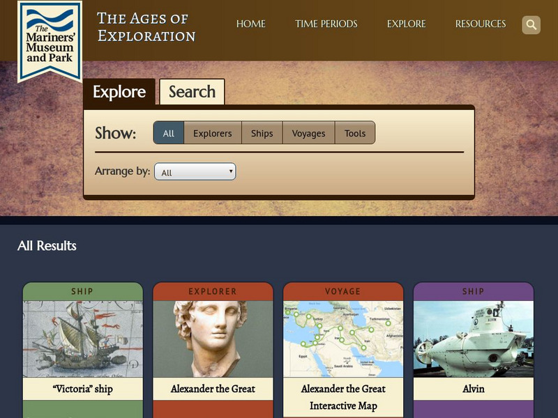
Mariners' Museum: Age of Exploration: Tools of Navigation
Sailors improved on many of the tools used in navigation to help them in their long journeys across an ocean. On this site from the Mariners' Museum, find many of these tools, perhaps in use already in the 15th century, but made even...
Other
Physical Geography: Glossary of Terms
Teachers who are looking for a complete course study in physical geography need this site. It is very well organized and colorfully designed. It contains an online glossary, study guides, links, clip art, maps etc.
NASA
Nasa: Sea Wi Fs Biosphere Globes
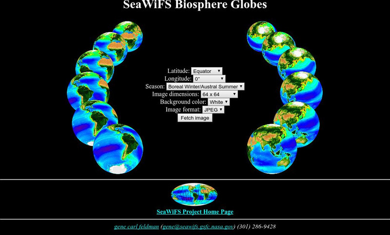
This interactive globe allows you to get any view of the earth by entering latitude, longitude and season criteria.
University of Arizona
Pulse: From Global to City Air: Air Quality, City Design and Disease
Learners are challenged to design a healthy city in this unit plan. The cross-curricular unit covers content standards for ninth grade in science, language arts, world geography, and math. Students explore air quality and the impact it...
Annenberg Foundation
Annenberg Learner: Journey North: Judy Brophy: The World's Biggest Address Book
Great slideshow to learn about latitude and longitude. There are many great discussion questions as well as maps to enhance your learning.
Geographyiq
Geography Iq
Detailed geographical information on any country is available at this site. Within the World Map section, you can get facts and figures about each country's geography, demographics, government, political system, flags, historical and...
US Navy
Navigation
[Archived Content] Interactive site where students can learn about navigation techniques through various learning activities.
National Geographic
National Geographic: A Latitude/longitude Puzzle
Through examining maps students will be able to identify locations and characteristics of them based on latitude and longitude and infer what events might occur in the places.
Center for Innovation in Engineering and Science Education, Stevens Institute of Technology
Ciese Real Time Data Projects: The Stowaway Adventure
Through this series of Internet-based learning experiences and activities, students will use real-time data to track a real ship at sea and monitor weather conditions. Includes a teacher's guide with problem-solving lesson plans...
Center for Innovation in Engineering and Science Education, Stevens Institute of Technology
Ciese Collaborative Projects: International Boiling Point Project
An Internet project designed to determine the greatest influence on the boiling point. After reading the project instructions and performing the experiment, submit your data and compare your results to other classes from around the world.
ibiblio
Ibiblio: Ptolemy's Geography
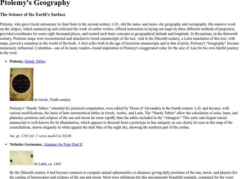
Brief discussion about Ptolemy's geography. Includes pictures of publications from ancient Greece based on Ptolemy's beliefs.
Pamela Seed
The Art and Science of Fifteenth Century Navigation: Latitude
Chronicle of the changes that occurred in various areas when latitude was identified in 1516. Site includes links to the changes in maps, compass roses, and the science of sailing.
Science Education Resource Center at Carleton College
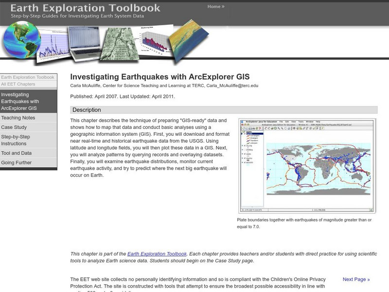
Serc: Investigating Earthquakes With Arc Explorer Gis
This activity allows students to predict future earthquake activity by interpreting the results of geographic information system (GIS) analysis.
Science Education Resource Center at Carleton College
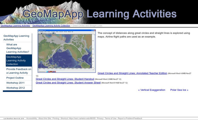
Serc: Great Circles and Straight Lines
Using maps, students explore the concept of distances along great circles and straight lines. Airline flight paths are used as an example.
Latimer Clarke Corporation
Altapedia Online: World Map Resources
Features downloadable World Political and Physical Maps that include country names, country borders, ocean features, island names, and lat/long graticules. Clicking on any part of the map enlarges it.
PBS
Pbs Teachers: Shackleton's Antarctic Odyssey: Let the North Star Tell You Where
Through this instructional activity, young scholars will understand how to determine latitude and locate specific stars in the night sky. They will also have a chance to build and use an astrolabe.
NASA
Nasa: Latitude and Longitude
This site from NASA provides definitions of latitude and longitude with good graphics.
Harvard University
Harvard University: Maps and Mapping
This site is provided for by Harvard University. Students follow a map on a scavenger hunt, create a map of their classroom and their town, learn how to read topographic maps, and discover latitude and longitude in these inquiry activities.
Social Studies for Kids
Social Studies for Kids: Latitude and Longitude
A collection of latitude and longitude mapping activities ranging from pin-pointing exact locations on the globe to researching the history behind this basic geography concept.
Teacher Oz
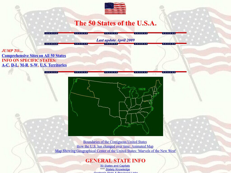
Teacher Oz: 50 States of the u.s.a.
A site with information such as maps, flags and songs of each of the 50 states in the US.
US Geological Survey
U.s. Geological Survey: Teaching About and Using Coordinate Systems [Pdf]
Provides lessons and activities for teaching about the different types of coordinate systems including the Cartesian coordinate system, the Geographic Coordinate System, the Universal Transverse Mercator grid, and the State Plane...
Diffen
Diffen: Latitude vs. Longitude
Find out about the basics of latitude and longitude with this comparison chart. Then read the article and watch the video to dig a little deeper into the topic.
Quia
Quia: Noise Pollution?
This quiz will determine whether you can use latitude and longitude properly to find absolute locations on the earth.
Texas Instruments
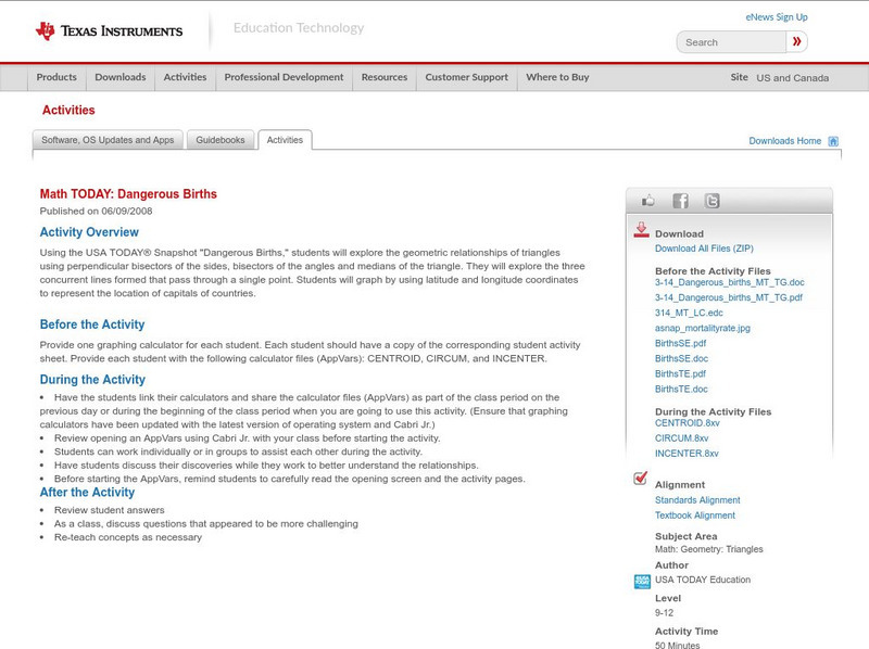
Texas Instruments: Math Today Dangerous Births
In this activity, using the USA TODAY Snapshot "Dangerous births" students will explore the geometric relationships of triangles using perpendicular bisectors of the sides, bisectors of the angles and medians of the triangle. They will...


