Wikimedia
Wikipedia: Latitude
This encyclopedia article from Wikipedia on latitude tells what it is, lists some latitudes of particular importance, and tendencies that latitudes can determine. Links are provided throughout for additional information.
History Teacher
Historyteacher.net: Global Studies: General Geography Concepts Quiz
Quiz yourself on basic geography concepts.
PBS
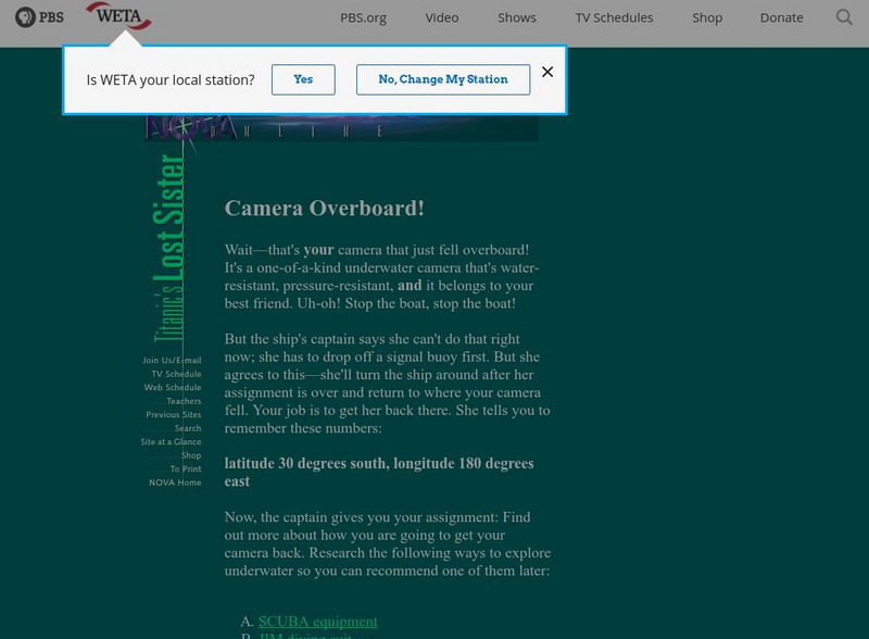
Pbs Teachers: Titanic's Lost Sister: Camera Overboard!
Learn about different diving equipment in order to determine which would be most useful in recovering a sunken object and exploring underwater. Find a location on a globe or map using latitude and longitude coordinates.
Fourmilab Switzerland
John Walker: View From Satellite
View images of the Earth taken by various satellites that are orbiting the Earth.
The Franklin Institute
Franklin Institute: In Quiry: Minutes From Me: Latitude, Longitude and Vacations
An explanation of latitude and longitude along with a classroom activity that uses the location of students' vacation destinations for charting latitudes and longitudes.
TeachEngineering
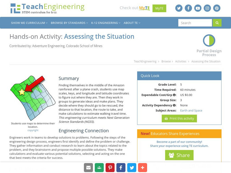
Teach Engineering: Assessing the Situation
In this activity, students will use the scale, the key, and longitude and latitude on a map to determine where they have crashed. They will then use the map scale to determine the distance to the nearest city and how long it will take...
ClassFlow
Class Flow: Parts of the Globe
[Free Registration/Login Required] This flipchart explores the vocabulary of studying the parts of the globe: north pole, south pole, equator, longitude, latitude, etc.
ClassFlow
Class Flow: Geographical Skills
[Free Registration/Login Required] In this lesson students understand how physical processes (weathering, erosion, climates, soils, and landforms) shape earth's surface patterns and systems.
ClassFlow
Class Flow: Global Knowledge Where in the World Am I?
[Free Registration/Login Required] This flipchart explains the division of the hemispheres, northern and southern, and eastern and western. The Equator and Prime Meridian are defined, as well as latitude and longitude. Students are given...
ClassFlow
Class Flow: Major Topographical Features of the u.s.
[Free Registration/Login Required] In this flipchart students will locate major topographical features of the United States of America. Website links covering Identify rivers, mountain ranges, the equator, prime meridian, and lines of...
National Council of Teachers of Mathematics
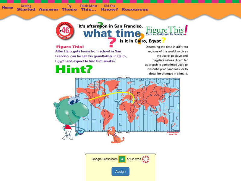
Nctm: Figure This: What Time Is It In?
Can you figure this? If it is afternoon in San Francisco, California, what time is it in Cairo, Egypt? Explore positive and negative number values in this one page activity using time zones from different parts of the world.
National Snow and Ice Data Center
National Snow and Ice Data Center: Factors Affecting Arctic Weather and Climate
An introduction to the factors that affect the Arctic's weather and climate: latitude, land/sea distribution, solar radiation, air temperature, air pressure, winds, humidity, clouds, and precipitation.
City University of New York
Brooklyn College, Cuny: Latitude and Longitude
Students can read about how lines of latitude and longitude form a grid that makes it easy to pinpoint one's location on Earth. Then they can take an online quiz to check their understanding.
Other
Boat Safe Kids: Longitude and Latitude
This website starts at the very beginning and explains how round globes are transferred to flat maps. Then they explain the use of longitude and latitude.


