Curated OER
The Sands of Arabia
Sixth graders apply geographic information to the study of World History. For this Geography lesson, 6th graders create a political/physical map of the Middle East, develop questions and answers about the culture of the Middle...
Curated OER
World Map and Globe - Lesson 15 (K-3)
Students discover mountain ranges and their locations in the world. For this physical map lesson, students locate and identify major mountain ranges of the world on a large physical map.
Curated OER
Land Elevation
Students investigate land elevation. In this map skills lesson, students use a physical map to identify various elevations of the land. Students find landform features such hills and coastlines.
Curated OER
United States Map- Land Elevation
Students explore a physical map. In this map skills lesson, students discuss examples of elevation and investigate the symbols used to identify elevation on a map. Students use the map to identify various land elevations.
Curated OER
Rivers Run Through It
In this mapping practice activity, 5th graders read an informational paragraph and answer 7 questions about the parts of a map along with places shown on a given map.
Curated OER
Location of Cities 201
Middle schoolers work in pairs to locate the ancient cities on a world atlas using the longitude and latitude measurements. They examine the physical and human futures that explain their locations.
Google
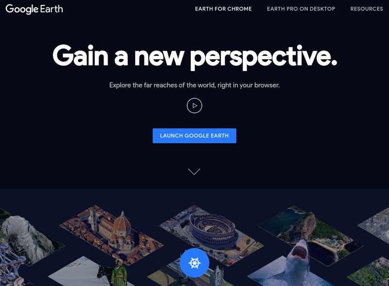
Google Earth Explore, Search and Discover
Find a specific location in the world. View exotic locations, famous buildings, and even your own home! See the terrain and buildings in 3D. Search for restaurants, hotels, parks and schools within a certain area.
Google
Google Earth Explore, Search and Discover
Find a specific location in the world. View exotic locations, famous buildings, your own home! See the terrain and buildings in 3D. Search for restaurants, hotels, parks and schools within a certain area.
Geographyiq
Geography Iq
Detailed geographical information on any country is available at this site. Within the World Map section, you can get facts and figures about each country's geography, demographics, government, political system, flags, historical and...
Latimer Clarke Corporation
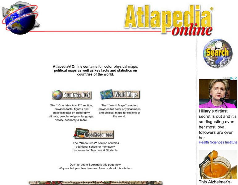
Atlapedia Online
This site provides both physical and political maps of countries of the world in full color. Also contains key facts and statistics.
Latimer Clarke Corporation
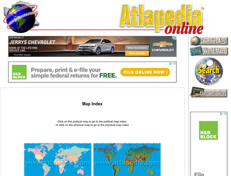
Atlapedia Online: Map Index
This website has a political and a physical map index.
Lonely Planet
Lonely Planet: World Guide
This World Guide allows you to view information about any country anywhere in the world online. It provides you with zooming capabilities for a closer look at the maps and land layouts. Once you've selected your country, you will find a...
Other
Georgia Maps
This site allows the user to select various maps of Georgia. Such maps include Physical, Demographic, Political, Historical, and others.
Latimer Clarke Corporation
Atlapedia Online: Physical Map of China, Mongolia, Hong Kong, Macau
Here is a physical map of China and surrounding countries. Includes links below map to further information on each country shown.
ClassFlow
Class Flow: Map Tasia
[Free Registration/Login Required] This flipchart allows students to explore 3 basic types of maps, physical, political, and historical. Characteristics of each are discussed and web links to additional examples are given. A short quiz...
HotChalk
Hot Chalk: Lesson Plans Page: Edible Geography
Pupils learn directional geography and the physical geography of a state by making an edible map using different objects to display the different geographical landmarks.
Mocomi & Anibrain Digital Technologies
Mocomi: Types of Maps
Details on the different types of maps, scale, and symbols.


