Curated OER
Geographic Landforms
Each slide is a simple notebook page with one landform in blue and its definition in red. There are 26 vocabulary terms in all, some you may want to use, and others easily hidden. It is recommended that you add photos or other graphic...
Curated OER
Early Arkansas Geography
Seventh graders locate and describe historical Arkansas while using a historical map.
Curated OER
Landscape Picture Map: Natural Features
Students discover six landscapes. In this natural features lesson, students review the meaning and examples of natural features. Students use a landscape picture map to identify six natural features.
Curated OER
Weathering and Erosion
In this weathering activity, students define 23 terms associated with erosion and weathering such as flood plain, moraine, and deposition. Then students use these terms in a sentence.
Northern Arizona University
Colorado Plateau: Mesa Verde, Colorado
Read about the Anasazi culture at Mesa Verde in the Four Corners area. These were the famous cliff dwellers. Find out about the geology of the area that produced the cliffs.
TeachEngineering
Teach Engineering: Carve That Mountain
In this activity, students further investigate major landforms (e.g., mountains, rivers, plains, hills, oceans and plateaus). They build a three-dimensional model of a landscape depicting several of these landforms. Once they have built...
BBC
Bbc Weather: Algiers, Algeria
Find out about the climate of Algiers, Algeria from this BBC Weather site where you will read about the climate regions, temperature variations, precipitation, and sunshine amounts. There is also a current 5-day forecast for Algiers.
Encyclopedia Britannica
Encyclopedia Britannica: Mongolian Plateau
This site from Britannica.com provides a good description of the Mongolian Plateau.
Curated OER
National Park Service: Creating Flat Topped Mountains
The NPS offers a good overview of the forces that create a plateau and experiments to help students understand. Lesson plan.
Travel Document Systems
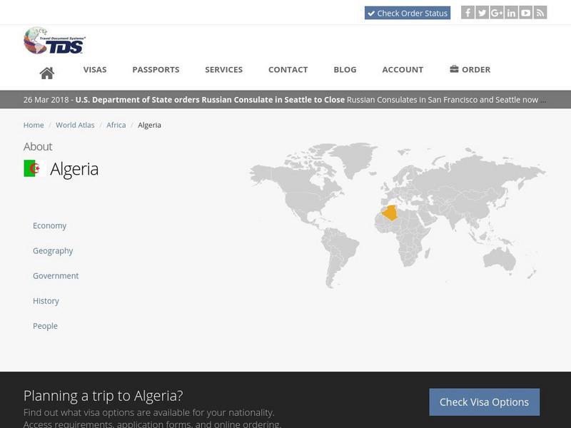
Tds: Algeria: Geography
A discussion of the geography of Algeria. You can read about the three distinct geographic regions, the climate, and the natural hazards. Information from the CIA World Fact Book.
Travel Document Systems
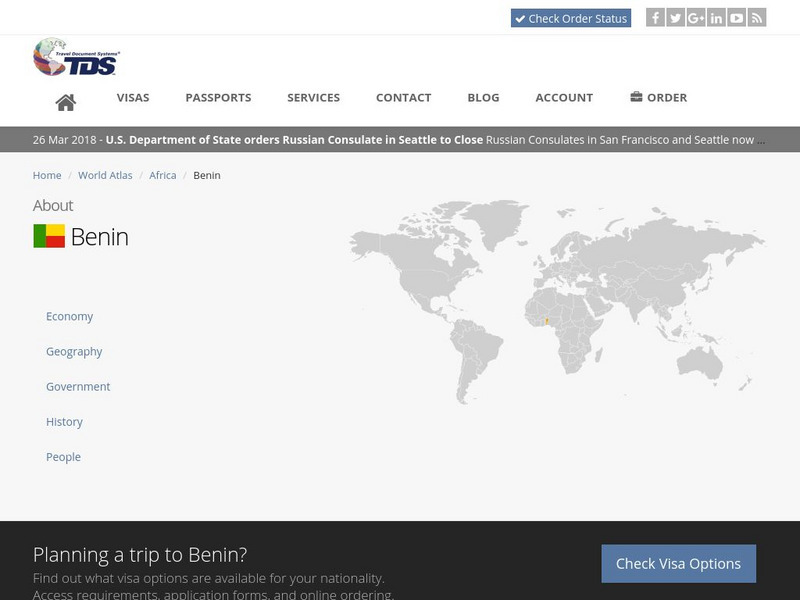
Tds: Benin: Geography
Read about the geography, climate, and wildlife of Benin in this article with information from the U.S. State Dept. Background Notes.
Travel Document Systems
Tds: Chad: Geography
A great look at the physical features, climate, and topography of the landlocked country of Chad. Read about the climate zones and wildlife. Information is from the U.S. State Dept. Background Notes.
Travel Document Systems
Tds: Malawi: Geography
See how the Great Rift Valley and Lake Malawi dominate Malawi's geography. Read about the climate, terrain, and population density. Information is from the U.S. State Dept. Background Notes.
eSchool Today
E School Today: Landforms
Understand the formation and geology of different landforms around the Earth.
Encyclopedia Britannica
Encyclopedia Britannica: Loess Plateu
This site from Britannica.com describes the Loess Plateau in China. Check out this great resource.
Other
Ihm School: Landforms
Student created reports on landforms. Each landform has a brief description and an example. Pictures accompany the reports. Learn more about the landforms that shape our world.
Travel Document Systems
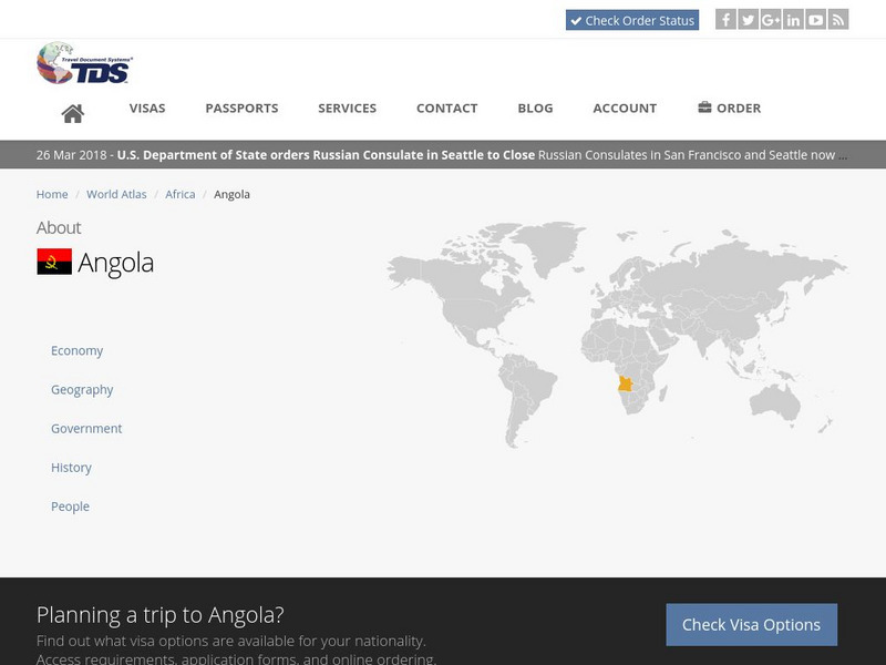
Tds: Angola: Geography
A brief look at the geography of Angola. Find out about the terrain, climate, and oil reserves. Information is from the CIA World Fact Book.
Travel Document Systems
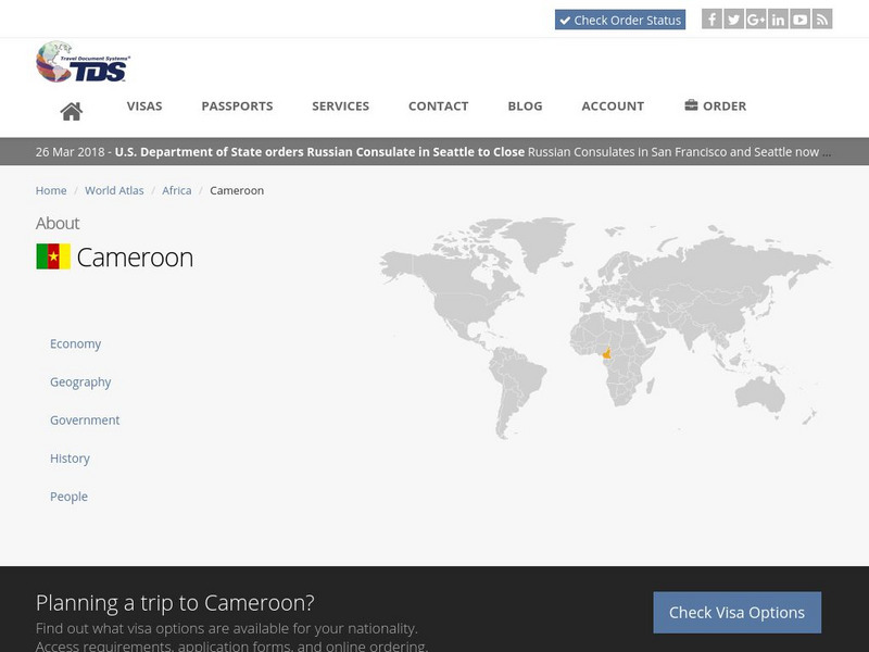
Tds: Cameroon: Geography
A graphic listing the important components of Cameroon's physical environment. You can find out about the climate, terrain, natural resources, and environmental concerns. Information is from the CIA World Fact Book.
Travel Document Systems
Tds: Democratic Republic of the Congo: Geography
A graphic listing the various aspects of the physical environment of Democratic Republic of the Congo. Find out about the area, climate, terrain, and natural resources. Information is from the CIA World Fact Book.
Travel Document Systems
Tds: Kenya: Geography
A graphic showing the physical environment of Kenya including its area, climate, natural resources, terrain, and environmental concerns. Information is from the CIA World Fact Book.
Travel Document Systems
Tds: Sierra Leone: Geography
A graphic showing the various aspects of Sierra Leone's physical environment. Find out about the climate, terrain, natural resources, and environmental concerns. Information is from the CIA World Fact Book.
Travel Document Systems
Tds: South Africa: Geography
A graphic showing the various aspects of the physical environment of South Africa including its climate, terrain, and natural resources. information is from the CIA World Fact Book.
Travel Document Systems
Tds: Ethiopia: Geography
A graphic of the physical environment of Ethiopia. You can find the area, terrain, climate, and natural resources. Information is from the CIA World Fact Book.
Travel Document Systems
Tds: Madagascar: Geography
A graphic showing the various aspects of the physical environment of Madagascar including the climate, terrain, natural resources, and environmental issues. Information is from the CIA World Fact Book.


