NOAA
Noaa: Cpc: Regional Climate Maps
Provides large colorful maps of climate data about each continent for the current week, month, or previous quarter.
Science Buddies
Science Buddies: Dry Spells, Wet Spells: How Common Are They?
Here's a project that looks at what the weather was like for over a hundred years. The goal of the project is to compare long-term precipitation patterns in different regions of the country. You will work with historical climate data,...
Other
Accu weather.com: Precipitation Maps
A comprehensive site of precipitation maps for the entire U.S., regions of the U.S., individual states, and areas around the world. Includes maps showing predicted precipitation, actual precipitation, and accumulated precipitation. It...
National Weather Service
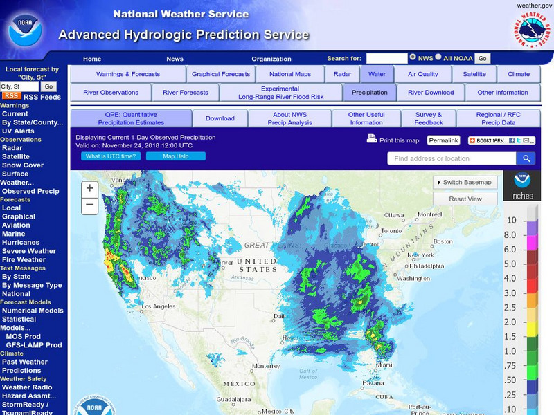
National Weather Service:climate Prediction Center: Daily Precipitation Analysis
Find real-time daily precipitation analysis for the United States, Mexico, and South America as well as accumulated precipitation maps for the past 30 or 90 days.
NASA
Nasa: Precipitation Towers: Modeling Weather Data
This lesson uses stacking cubes as a way to graph precipitation data, comparing the precipitation averages and seasonal patterns for several locations. Variations on the lesson can accommodate various ages and ability levels. Students...
PBS
Pbs Learning Media: A Look at Weather Factors: Interactive Lesson
Students learn about four factors that describe different types of weather -- temperature, wind, precipitation, and sunlight and clouds -- as they explore various weather conditions and find evidence that describes each type of weather...


