Curated OER
Understanding Latitude and Longitude
Teaching learners about latitude and longitude can get a little complicated. Present the concept by first representing it as a graph. Just like finding a location on a graph using the x and y-axis, learners will be able to locate items...
Curated OER
Geography Terms
Introduce the terms and concepts related to basic map and geography skills. Terms include full definitions and cover latitude, longitude, the Equator, Tropic of Cancer, Tropic of Capricorn, Prime Meridian, and the International Date Line.
Curated OER
A Map as a Tool
Students study the concept of using a map as a tool with the usage of a balloon designed to mimic the features of the Earth with the major features marked and shown on the balloon.
Curated OER
Longitude-Dava Sobel
In this longitude worksheet, learners read about how to determine the longitude of location while at sea and they answer 5 questions about calculating longitude.
Curated OER
Viewpoints
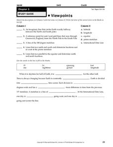
In this latitude and longitude worksheet, learners complete 10 matching questions identifying key features or locations on a map. Students also use lines of latitude and longitude to identify the time in 4 different places.
Curated OER
Tear the Continents
Students tear paper into representative continent shapes and configure them with world oceans through relative location, direction and latitude and longitude starting points. They recognize the shape of the continents. Students recognize...
Curated OER
Exploring the World's Geography
Students discuss the seven continents of Earth and the diverse geography. After discussion, they create their own paper-mache globes which properly display all seven continents, the equator, and the prime meridian. They conduct research...
Curated OER
Understanding Latitude, Longitude, and Time Zones
Students take an imaginary world tour by locating cities with latitude and longitude. They plan an itinerary and calculate the time zones from which they would call home. Then they construct word problems involving travel across time zones.
Curated OER
Longitude
In this globe worksheet, students learn how longitude is measured on a globe. Students read the information before answering 5 questions. A globe will be required.
Curated OER
Latitude Longitude Skills
In this latitude and longitude worksheet, students determine the number of degrees between the equator and specific latitude points. Students to the same for the longitude points from the Prime Meridian. This worksheet has 3 problems to...
Curated OER
Maps: Latitude and Longitude
Students visit interactive sites focusing on latitude and longitude. They participate in activities about the prime meridian, time zones, and equator. They view the coordinates of states and cities.
Curated OER
Earth Matters
Students identify Earth's equator, prime meridian, lines of latitude, lines of longitude, parallels, and meridians.
Curated OER
Viewpoints
In this map worksheet, students review latitude, longitude, equator, and prime meridian. This worksheet has 5 matching and 8 fill in the blank questions.
Georgia Department of Education
Ga Virtual Learning: Astronomy: The Earth
In this interactive tutorial students will learn what causes the seasons, diurnal cycles and how the constellations move through the sky. Learn we are able to see other planets and how astronomical events affected life on the Earth.
Other
Boat Safe Kids
This is a delightful site about boats and boating. Lots of games plus a terrific overview of the history of navigation. Includes a visit to a reproduction of Columbus' Nina.
Wikimedia
Wikipedia: International Date Line
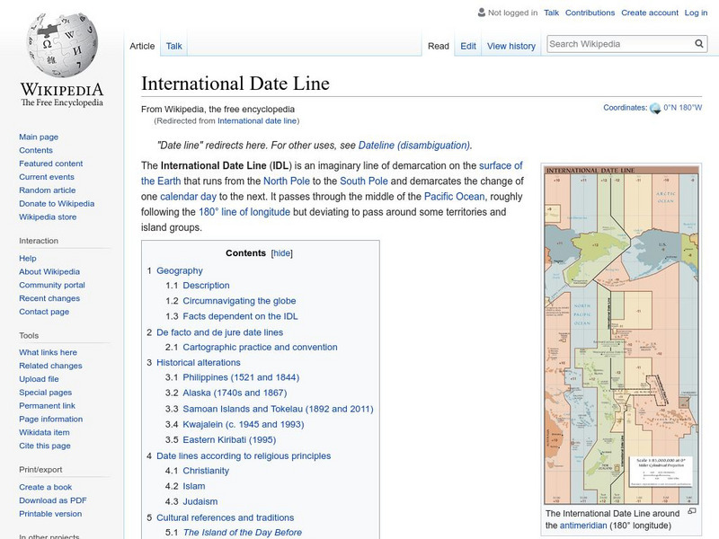
Wikipedia offers information on the International Date Line, an imaginery line that offsets the hours added as one travels east through time zones.
Diffen
Diffen: Latitude vs. Longitude
Find out about the basics of latitude and longitude with this comparison chart. Then read the article and watch the video to dig a little deeper into the topic.
Oxfam
What Is the Meridian Line?
What is the meridian line? Find out and see all the countries it runs throughout. Obtain information on the creation of standard time.
Other
The Royal Observatory at Greenwich: Homepage
This site from The Royal Observatory at Greenwich is a very historically important astronomical observatory. The site has a combination of information about astronomy, longitude and time. Information written in highly accessible...
PBS
Pbs Nova Online: Lost at Sea the Search for Longitude
"The quest for a reliable method to find your way at sea was one of the thorniest problems of the 1700s." Find out about the search for longitude at this NOVA site. Includes interactive Shockwave game, learning activities and more.
Wolfram Research
Wolfram Science World: International Date Line
This website provides a good general definition of the International Date Line.
Wikimedia
Wikipedia: Prime Meridian
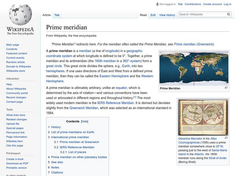
This site from the Encyclopedia Wikipedia provides an encyclopedia article on the prime meridian discusses the important principles were established at the International Meridian Conference in 1884.
Other
Greenwich Guide: The Prime Meridian
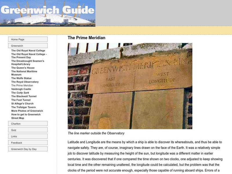
Examine how the prime meridian came to be, where it is located, and see actual pictures of the prime meridian.
New York Times
New York Times: Crossword Puzzle: Latitude & Longitude
Here is an interactive & printable crossword puzzle developed by the New York Times Learning Network. The theme of this puzzle is Latitude & Longitude.


