City University of New York
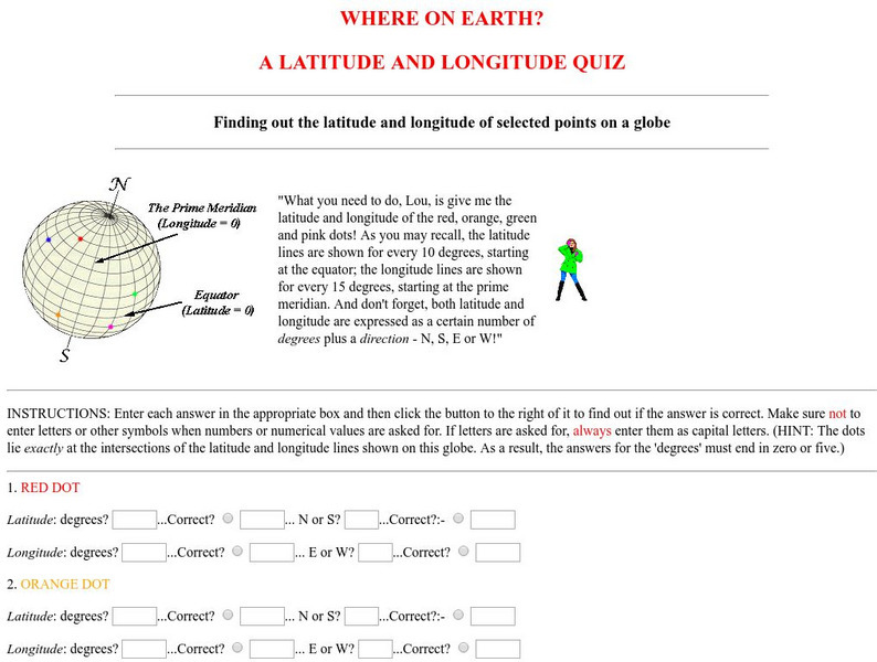
Virtual Geology: Where on Earth: A Latitude and Longitude Quiz
This quiz starts with select points on a globe. Students must determine the latitude, longitude, and direction for each point.
Harvard University
Harvard Smithsonian: Everyday Classroom Tools
The focus of this series of lessons is to engage students in an exploration of the world around them. The emphasis is on inquiry as students learn about the earth, sun, light, shapes and more.
PBS
Pbs: Nova Online: Find Your Longitude
Using Greenwich, England time and longitude of 0 degrees, students determine longitude in this interactive game. Both Shockwave and non-Shockwave versions are available.
Other
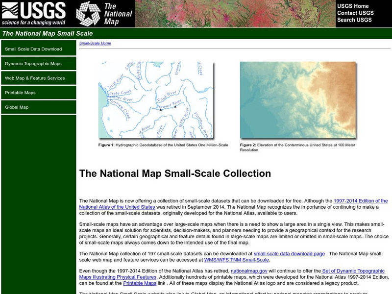
National Atlas
This site is excellent for mapping. You can create ANY kind of map you need. Select all kinds of layers: agriculture, biology, boundaries, climate, history, and more, and then select the geography. It does take some time to figure out...
Georgia Department of Education
Ga Virtual Learning: Life and Environment Relationships
In this amazingly comprehensive interactive tutorial you will learn about the characteristics and features of the different biomes on our planet.
TeachEngineering
Teach Engineering: Who Can Make the Best Coordinate System?
Students learn about coordinate systems in general by considering questions concerning what it is that the systems are expected do, and who decided how they look. They attempt to make their own coordinate systems using a common area...
TeachEngineering
Teach Engineering: What's Wrong With the Coordinates at the North Pole?
Students complete a self-guided exercise in worksheet format combined with Google Earth that helps them explore practical and observable differences between different projection and coordinate systems. The activity improves their skills...
TeachEngineering
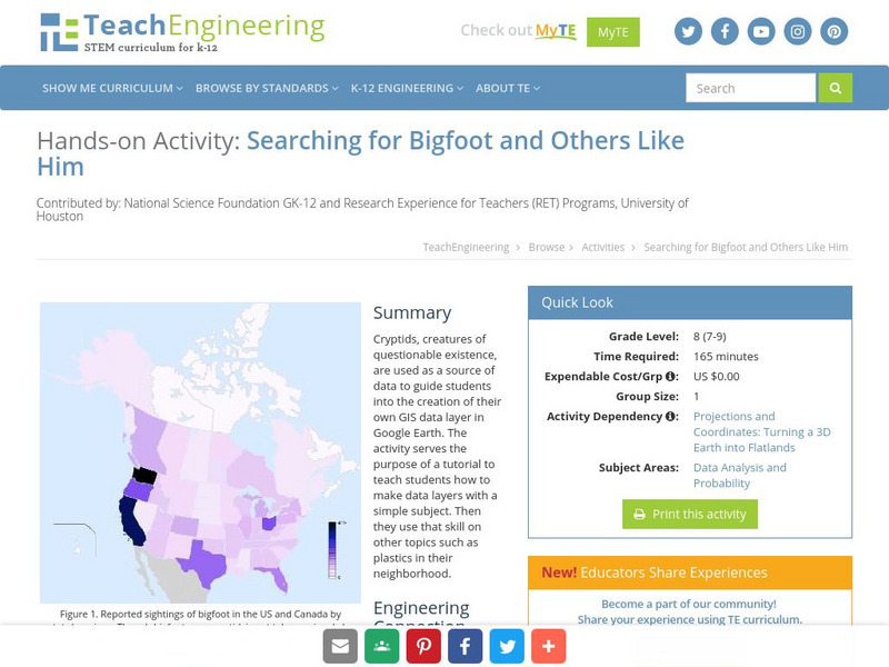
Teach Engineering: Searching for Bigfoot and Others Like Him
Cryptids, creatures of questionable existence, are used as a source of data to guide students into the creation of their own GIS data layer in Google Earth. The activity serves the purpose of a tutorial to teach students how to make data...
Mariners' Museum and Park
Mariners' Museum: Age of Exploration: Tools of Navigation
Sailors improved on many of the tools used in navigation to help them in their long journeys across an ocean. On this site from the Mariners' Museum, find many of these tools, perhaps in use already in the 15th century, but made even...
NASA
Nasa: Sea Wi Fs Biosphere Globes
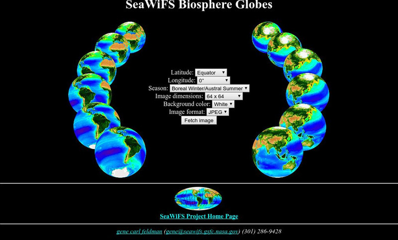
This interactive globe allows you to get any view of the earth by entering latitude, longitude and season criteria.
University of Arizona
Pulse: From Global to City Air: Air Quality, City Design and Disease
Learners are challenged to design a healthy city in this unit plan. The cross-curricular unit covers content standards for ninth grade in science, language arts, world geography, and math. Students explore air quality and the impact it...
Annenberg Foundation
Annenberg Learner: Journey North: Judy Brophy: The World's Biggest Address Book
Great slideshow to learn about latitude and longitude. There are many great discussion questions as well as maps to enhance your learning.
Geographyiq
Geography Iq
Detailed geographical information on any country is available at this site. Within the World Map section, you can get facts and figures about each country's geography, demographics, government, political system, flags, historical and...
US Navy
Navigation
[Archived Content] Interactive site where students can learn about navigation techniques through various learning activities.
National Geographic
National Geographic: A Latitude/longitude Puzzle
Through examining maps students will be able to identify locations and characteristics of them based on latitude and longitude and infer what events might occur in the places.
Center for Innovation in Engineering and Science Education, Stevens Institute of Technology
Ciese Collaborative Projects: International Boiling Point Project
An Internet project designed to determine the greatest influence on the boiling point. After reading the project instructions and performing the experiment, submit your data and compare your results to other classes from around the world.
ibiblio
Ibiblio: Ptolemy's Geography
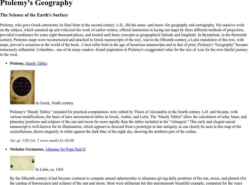
Brief discussion about Ptolemy's geography. Includes pictures of publications from ancient Greece based on Ptolemy's beliefs.
Rice University
Galileo Project: Longitude at Sea
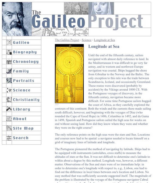
This site from the Galileo Project of the Rice University provides an in-depth look at the historic problems figuring out longitude. Links are provided throughout this article along with pictures, making this a great site to check out.
Science Education Resource Center at Carleton College
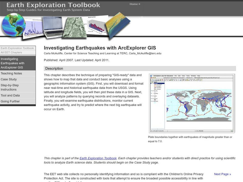
Serc: Investigating Earthquakes With Arc Explorer Gis
This activity allows students to predict future earthquake activity by interpreting the results of geographic information system (GIS) analysis.
Science Education Resource Center at Carleton College
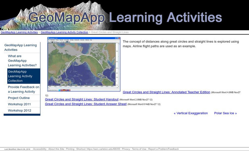
Serc: Great Circles and Straight Lines
Using maps, students explore the concept of distances along great circles and straight lines. Airline flight paths are used as an example.
Latimer Clarke Corporation
Altapedia Online: World Map Resources
Features downloadable World Political and Physical Maps that include country names, country borders, ocean features, island names, and lat/long graticules. Clicking on any part of the map enlarges it.
NASA
Nasa: Latitude and Longitude
This site from NASA provides definitions of latitude and longitude with good graphics.
Harvard University
Harvard University: Maps and Mapping
This site is provided for by Harvard University. Students follow a map on a scavenger hunt, create a map of their classroom and their town, learn how to read topographic maps, and discover latitude and longitude in these inquiry activities.
Social Studies for Kids
Social Studies for Kids: Latitude and Longitude
A collection of latitude and longitude mapping activities ranging from pin-pointing exact locations on the globe to researching the history behind this basic geography concept.


