Curated OER
Telling My Tale
Students brainstorm a list of their primary interests and skills and depict their ideas and attributes by creating a conversational painting that profiles them. They can create a cartoon strip using multiple images as well and...
Curated OER
Contour Map Worksheet #2
Following a contour map of a hill, a stream, and the ocean, are five multiple choice questions. Earth science enthusiasts determine elevation, direction of water flow, distance, and steepness. They also match the map to a selection of...
Curated OER
The Problem with Profiling
Students explore the issue of racial profiling and post their conclusions to a youth message board. They research the issue of racial profiling and post their thoughts to a message board.
Curated OER
Contour Map Worksheet #3
Earth scientists answer five multiple choice questions about the topographical map atop the worksheet. Use this as a quick assessment of understanding after having taught how to read contour lines and topographic maps.
Curated OER
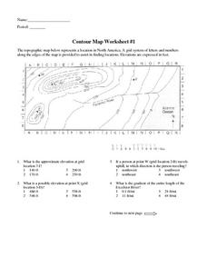
Contour Map Worksheet #1
Being able to read a topographic map is a standard in middle school earth science units and imperative for outdoor enthusiasts. As you introduce learners to this skill, you can assign this as an assessment or reinforcement. Pupils view a...
Curated OER
Who Is the Best Person for the Job?
Fourth graders work in groups of four, they are the managers of a new company, needing to hire employees. They brainstorm what they believe is important information to know about a future employee and share their list with the class....
Curated OER
Personal Learning Profile
Students develop a Personal Learning Profile. They brainstorm how to design a profile and state their roles and responsibilities. They locate, select and make use of relevant information from a variety of media, references and ...
Curated OER
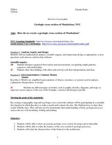
Geologic cross section of Manhattan, NYC
Students draw an accurate geologic cross section by using a given data table. They relate the features of the cross section to geologic processes. Students then relate the characteristics of the bedrock to the architecture.
Curated OER
Contour Map Worksheet #4
There are only four questions here. There is a contour map of Cottonwood, Colorado and the creek that crosses it. Earth scientists tell in what direction the creek flows, identify the highest elevation on the map, draw a topographic...
Curated OER
Making Topographic Maps and Mountain Profiles
Students study how to mark inclines and construct a mountain profile. In this topographic map lesson students mark contour intervals and draw mountain profiles.
Curated OER
Using Venn Diagrams
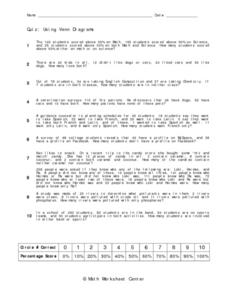
In this Venn Diagrams worksheet, learners complete and draw 10 different Venn Diagrams to match each problem as described. First, they determine the number of students who scored above half on math or science. Then, learners compare the...
Curated OER
Where's the CAT? a DNA Profiling Simulation.
Students explore DNA technology. Students participate in a simulation to perform at the basic steps of a DNA profile. They observe copies of DNA sequences, construct DNA probes, and discuss outcomes of their experiment.
Curated OER
Animals in the Wild
Students compare/contrast paintings with similar subjects and themes. They discuss how a painting may relate to life experiences. Students draw animal families and compose a story about a painting by Gerome. They discuss zoos and...


