Enchanted Learning
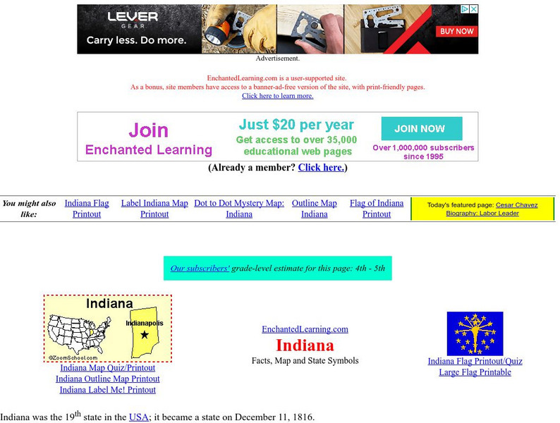
Enchanted Learning: Indiana
Enchanted Learning provides an Indiana fact sheet and map as well as a list of state symbols and links to related information.
Johns Hopkins University
The Johns Hopkins University: Indiana State Maps
At this site from The Johns Hopkins University Applied Physics Laboratory, you can learn more about the state of Indiana through this informative map resource. This website has a shaded relief map, a county map, a black and white map, a...
Other
Indiana Historic Bureau: Canals of Indiana
A map showing the canal system that was constructed in Indiana in the 1800s.
Other
Art Smart: Indiana: Indiana Locations Map
A detailed, high resolution, printable map showing the counties, communities, and cities of Indiana.


