Curated OER
"Pennsylvania Watersheds, Many Ways to the Sea"
Pupils trace a molecule of water through the water cycle including each of its three loops. They describe why evapotranspiration demands the largest portion of total precipitation falling on a forested watershed.
Curated OER
Planning a Railroad
Young scholars use a topographical map to plan a route from Doknner Summit to Truckee, then compare it to the route selected by Theodore Judah.
Curated OER
Mapping My World
Students are introduced to simple maps and view a map of a classroom and compare distances of items shown.
National Endowment for the Humanities
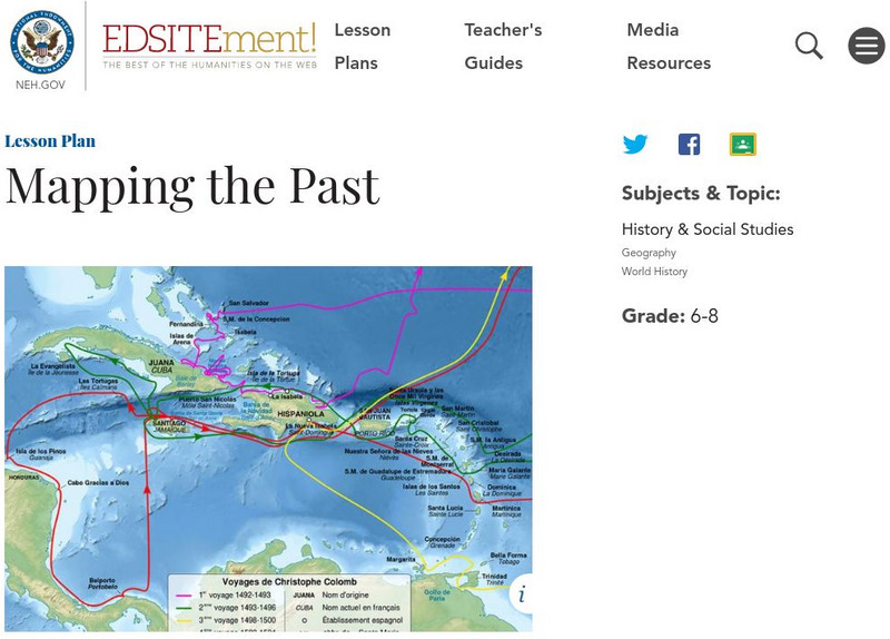
Neh: Edsit Ement: Mapping the Past
This lesson plan requires the students to examine past maps from various cultures in order to learn how the people from that time period interacted and understood their world.
Library of Congress
Loc: Waldseemuller's Map: World 1507
Discover a fascinating primary source document and share with students the historical relevance Waldseemuller's map has to our world today. Map reading, analyzing, and drawing conclusions as to why this particular map carries so much...
Other
Geoscience Australia: Map Reading Guide: How to Use Topographic Maps [Pdf]
A topographic map can be challenging to read. This guide explains how to decipher one and how to use a magnetic compass to orient yourself to the landscape. It also explains how to use GPS coordinates.
University of California
Us Geological Survey: Cartogram Central
The USGS offers detailed information on Types of Cartograms, Congressional Districts, Software for Cartograms, Publications, and a Carto-Gallery.
Discovering Lewis & Clark
Discovering Lewis & Clark
A hyperhistory that takes the student on an interactive journey along with Lewis and Clark.
Center for Innovation in Engineering and Science Education, Stevens Institute of Technology
Ciese Real Time Data Projects: The Stowaway Adventure
Through this series of Internet-based learning experiences and activities, students will use real-time data to track a real ship at sea and monitor weather conditions. Includes a teacher's guide with problem-solving lesson plans...
University Corporation for Atmospheric Research
Ucar: Hurricanes and Climate
Students investigate maps and data to learn where and when hurricanes form and how climate change may be affecting them.
Math Science Nucleus
I. Science Ma Te: Integrating Science, Math and Technology
This site offers a wealth of online textbook-related materials that encourage the discovery of science in the world around us. Enter the site to access material on specific topics. Each section contains reading material (complete with...
US Geological Survey
U.s. Geological Survey: Map Your Schoolyard
Lesson plan introduces the concept of maps while providing a forum to practice the skill of navigating using a map.
US Geological Survey
Usgs: Finding Your Way With Map and Compass
This resource has a topographic map that tells you where things are and how to get to them. Use this site to help you use a map and compass to determine your location.
Other
Basket Math Interactive
Explore more than twenty math concepts such a perimeter, rounding, exponents, decimals, sign numbers, and more using this interactive basketball game. A Spanish version is also offered. Students results are tabulated daily.
Curated OER
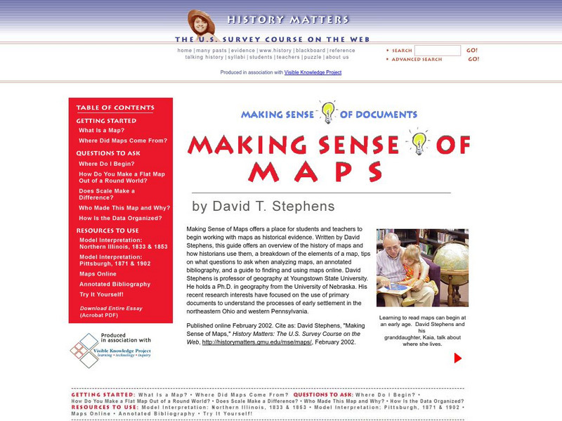
History Matters: Making Sense of Maps
Very detailed site from History Matters containing an explanation of how to read maps and understand them. An excellent resource for teachers. The site covers how to begin, how to use a scale, how to create a flat map for a round world,...
Enchanted Learning
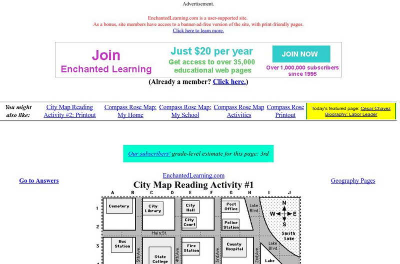
Enchanted Learning: City Map Reading Activity #1
Using a diagram of a labeled map, students follow the directions given to find a certain location.
Randall Davis
Esl Cyber Listening Lab: Basic English Quiz: Directions Around Town 3
This true-or-false exercise for English language learners tests their map-reading and listening skills. Using a small street map for visual reference, students answer a series of true/false questions about locations on the map.
Randall Davis
Esl Cyber Listening Lab: Basic English Quiz: Directions Around Town 2
This exercise combines map-reading and listening skills designed especially for English language learners. Students locate designated buildings on a map by following directions for turning right, walking two blocks forward, and so on.





![Geoscience Australia: Map Reading Guide: How to Use Topographic Maps [Pdf] Handout Geoscience Australia: Map Reading Guide: How to Use Topographic Maps [Pdf] Handout](https://d15y2dacu3jp90.cloudfront.net/images/attachment_defaults/resource/large/FPO-knovation.png)


