Curated OER
Reading Skills - Giving Directions
In this reading skills learning exercise, students identify places on a map. After reading a description of where each of the fifteen places is located, students match each building to the names of the places.
Curated OER
Outline Map of Japan
In this geography worksheet, students examine a black line outline map of Japan. There is a compass rose on the page. There are no labeled cities.
Curated OER
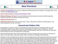
Pennsylvania Walkers Club
Students participate in an school-wide walking club. Students choose a destination in Pennsylvania they would like to visit. After plotting the best way to get their using a map, the walk each day and record their distance in miles on...
Curated OER
White Bear Lake Fitness Challenge
High schoolers participate in fitness challenge. After choosing a destination they would like to visit, students record their mileage to their destination after riding on bikes and walking on treadmills. High schoolers receive an...
Curated OER
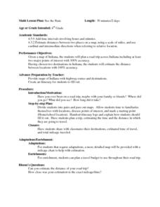
See the State
Fourth graders are given a map of Indiana and have to plan a road trip including at least two major points of interest with 100% accuracy. The students estimate the distance between their two chosen locations with 100% accuracy.
Curated OER
Locating Patterns of Volcano Distribution
Students examine patterns of volcanic distribution worldwide, use tables to plot and label location of each volcano on map, lightly shade areas where volcanoes are found, and complete open-ended worksheet based on their findings.
Curated OER
Vocabulary Review and Map Skills
Learners, when given the name of a community, identify a food, a craft, a custom, language and music, unique to that community 100% of the time. They find similarities and differences between this community and their own in four...
Curated OER
Island Project
A new island has been discovered and Students use their knowledge of map skills to create a map illustrating economic development and resources. They determine the laws of the island and support each law with appropriate core values.
Curated OER
Orienteering
Students proceed through a simple course following a map but not using a compass. They must find 18 controls working in pairs that leave at 2 minute intervals. Students must record letter and after finding all 18 controls they will...
Curated OER
What Makes a Map?
Students, in groups, brainstorm to find what makes up a map, what kind of information can be "read" from a map, who might use a map, how their world is defined or helped by maps, etc. They make a map of their "world."
Curated OER
The Evening News - Rainforest Rescue
Fifth graders prepare a television briefing reflecting on their experiences in an earlier lesson in which they simulated surviving a crash into the Amazon and using maps to achieve rescue. They develop and present a summary of their...
Curated OER
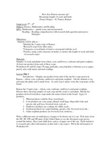
How Does Kansas Measure Up?
Students identify the five main crops of Kansas and crops that are produced in other states. The categorize the types of fruits and seeds of each plant and measure each to compare the length of each.
Curated OER
Invaders and Settlers
Students watch a video that illustrates the way in which an English community evolved based on geography and the settlers and invaders who lived there over different time periods. They create a map that shows how different villages are...
Curated OER
What Are the Good & Bad Aspects of Regional Shopping Centres?
Seventh graders study the impact of regional shopping centers and local ones, and create a TV/ video expressing the results of the research.
Curated OER
BOUND TO BE NEW HAMPSHIRE
Young scholars identify neighborhood, town, and state boundaries. They distinguish between natural and man-made boundaries. They identify major state geological features and explain how NH boundaries have changed over time.
Curated OER
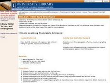
McLean Train Yard
Students conduct online research and incorporate graphics and maps into a Powerpoint presentation that details life at the McLean train yard in its heyday.
Curated OER
Geography: Continents
First graders identify basic geographical facts about the world they live in and distinguish between land and water on a globe. They research the continents and information associated with each one focusing on building their map skills.
Curated OER
Temperature Zones
Students read and make inferences about a map showing various temperature zones across the United States.
Curated OER
A Bird's Eye View of our 50 States
Third graders focus on state birds as they learned absolute location (latitude/longitude) of each state, as well as their relative location (bordering states).
Curated OER
Predicting the Route of the Monarch's Spring Migration
Students consider the habits of the monarch butterfly and predict the path it take as it migrates in the spring.
Curated OER
Mapping My World
Students are introduced to simple maps and view a map of a classroom and compare distances of items shown.
Curated OER
Animals from Afar
Students visualize the scope of the Roman empire by illustrating the geographic origins of various imported animals. They study how exotic animals were imported into Rome from the farthest regions of the empire.


