Curated OER
Three Dimensional Geology
Here is a fine lesson plan on geology designed for high schoolers. Learners use rocks, fossils, and other geological clues to determine the geology of an area. Then, they make recommendations to a fictitious city council about the...
Curated OER
Great Lakes Homepage for Kids
Here are some outstanding lessons on the geology and history of the Great Lakes. These lessons are divided into Grade 4 -6, and Grade 7 - 8 activities. The activities all use the background information, maps, graphs, data, and Great...
Curated OER
China Quest
Read and research information on China. Young researchers complete a knowledge hunt about China then locate and describe each location using directional words. They recognize the word meaning through context clues and application practice.
Curated OER
The Ancient Civilization of Mali
Students explore the ancient civilization of Mali and examine various historical and cultural aspects of the civilization. In this ancient civilization of Mali instructional activity, students examine trade with respect to geographic...
Curated OER
Finding Captain Hook's Treasure
Students use their map-reading skills to find Captain Hook's treasure. They see how the directions on a map correspond with "real-life" directions, and that symbols on a map represent real things.
Curated OER
How Do I Get There? Planning a Safe Route to School
One much-needed skill for young learners is direction giving. Have your class plan and draw a safe route for them to travel from home to school. They will also draw places and items that are in between home and school in order to build a...
Curated OER
Leaf Peeping at Sharpe!
While this lesson focuses on observations made at Sharpe Reservation, another area could be used. Learners map out a route from their class to a nature preserve. Then, they identify the color and features of the leaves, and describe...
Curated OER
Map Adventures
Students explore the relationship between a scale drawing and actual distance. In this mapping lesson, students use an amusement park map to determine distances and what they would be like in real life.
Curated OER
Middle East Quiz
In this geography skills quiz worksheet, students take 1 of the 3 provided outline map quizzes on the 23 Middle Eastern countries. Three separate quizzes are offered.
Curated OER
Traveling/Mapping
Learners examine routes to gold. For this California gold rush lesson, students map land and water routes to California. Learners use maps to copy the routes that they want to market to gold diggers.
Curated OER
Production of the Lunar Relief Map Project
Students replicate the lunar surface. In this mapping skills lesson, students study the topography of the moon. Students then use craft materials to create topographic maps of the lunar surface where the Eagle landed.
Curated OER
Introduction to the United States Map
Students identify a map of the United States. In this United States map lesson, students study a map of the United States and find various locations on the map. Students then locate and list the state that touches their state.
Curated OER
Mapping Your School Grounds
Students create a map of their school grounds. In this mapping lesson, students work in teams to make a map of their school grounds. Students note major features, observe, and record wildlife in the school grounds.
Curated OER
Mapping Skills
In this mapping skills worksheet, students practice scale measurements as they respond to 8 questions that require them to measure to scale.
Curated OER
Backpack-tivity: An @ Home Learning Activity We're Off!
In this schedule reading instructional activity, students map a trip from their home to a national park, ask a family member to show them a bus, train, and plane schedule for the destination, learn how to read a schedule, discuss with a...
Curated OER
Map Your Area
Learners map the geographic boundaries of a recycling program's service areas and include the location of buyers important to the program. They use this map as an aid in managing a school recycling program or project.
Curated OER
Reading a Map
Third graders become familiar with the vocabulary and skills related to mapping. For this guided reading lesson, 3rd graders find proper nouns on from the map. Students read Goldilocks. Students make a...
Curated OER
At Your Fingertips
First graders observe a variety of different foods including kiwi, banbnas, coffee, chocolate and discuss where they come from. They discuss the terms import and export then identify the locations where the items came from and their...
Curated OER
Where Is Japan? How Far Is That?
First graders use literature and hands-on activities with maps and globes to explain distance and tools used to measure distance. They select tools to measure various objects in the classroom, then apply those concepts to their map...
PBS
Pbs Nova: Find Your Longitude
Lost at sea with only your sextant? Use your knowledge of longitude to find your place. The non-shockwave interactive activity makes the concept of longitude concrete.
Other
Geoscience Australia: Map Reading Guide: How to Use Topographic Maps [Pdf]
A topographic map can be challenging to read. This guide explains how to decipher one and how to use a magnetic compass to orient yourself to the landscape. It also explains how to use GPS coordinates.
National Geographic
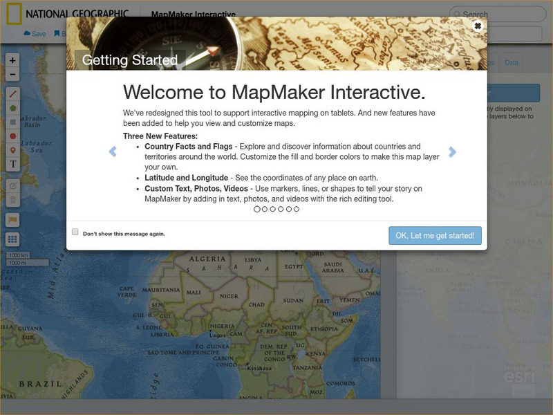
National Geographic: Mapmaker Interactive
Interactive map maker in which students can manipulate world maps adding layers and data with multiple sources of information.
PBS
Pbs Wisconsin Education: Into the Map
In this learning module, students will explore the world of geography by creating and analyzing maps.
Institute for Dynamic Educational Advancement
Web Exhibits: Sir Sanford Fleming (1827 1915)
Here you will find the story of how and why time zones came about and the Canadian who developed the system that has become so important around the world. Be sure to read the "Incidents and Anecdotes" section to find interesting facts...










![Geoscience Australia: Map Reading Guide: How to Use Topographic Maps [Pdf] Handout Geoscience Australia: Map Reading Guide: How to Use Topographic Maps [Pdf] Handout](https://d15y2dacu3jp90.cloudfront.net/images/attachment_defaults/resource/large/FPO-knovation.png)
