Curated OER
Volcano Tracking
Students study how to track seismic activity of the Montserrat volcano. They create graphs of the data, study the observation logs that accompany the data, and interpret the graphs in relationship to the logs.
Curated OER
Waves: the Nature of Waves
Each of the slides has some information or a few definitions about the travel of energy through different media. There are references given to obtain further information, which makes this slideshow a great tool for introduction or...
Curated OER
Slinky Lab- Simulating the Motion of Earthquake Waves
Sixth graders simulate primary and secondary waves. In this earthquakes waves lesson, 6th graders experiment using a slinky to gain understanding of how waves are created during an earthquake. Students record observations in drawings....
Curated OER
Deep Thoughts
Students examine what lies within the Earth. They research and create scale models illustrating the layers of the Earth and write skits advocating a travel plan to send a probe into the Earth's mantle.
Curated OER
All Shook Up
Learners calculate the amount of displacement after an earthquake. In this seismic event lesson students research the Internet, and fill out a CORS data sheet.
Curated OER
Seismic Calendar
High schoolers discover how often earthquakes happen in a region of their choice. In this science lesson, students use online resouces to help them do their investigations. High schoolers make their own map of their region and show how...
Curated OER
Looking into Earth with GIS
Students work with data from a seismic wave model in a freely available GIS (geographic information system) program, ArcVoyager SE. Using a GIS, they examine maps and produce graphs to explore variations in seismic wave velocities at...
Exploratorium
Exploratorium: Loma Prieta, Bay Area, Earthquake 1989
This outstanding multimedia site documents the earthquake and related events that took place on October 17, 1989 in the San Francisco Bay Area.
University of Hawai'i
Reply to Ask an Earth Scientist
This site contains facts about the New Madrid fault and the 1811-12 earthquake in Q & A form.
Science Education Resource Center at Carleton College
Serc: The 2004 Sumatra Earthquake and Tsunami
Using real seismic recordings from a number of seismic stations, students find the location of the epicenter of the 2004 Sumatra earthquake. They next determine the path of the tsunami triggered by it, and calculate how much lead time...
TeachEngineering
Teach Engineering: Earthquakes Living Lab: P Waves, S Waves and More
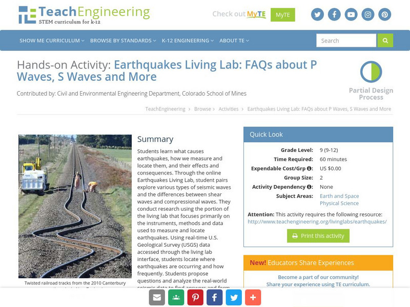
Students learn what causes earthquakes, how we measure and locate them, and their effects and consequences.
Concord Consortium
Concord Consortium: Exploring Earth's Seismicity
This sequence is an introduction to plate tectonics using evidence from topographical maps, earthquake location and depth, and volcano location using the Seismic Explorer model to investigate patterns of earthquake data and to infer the...
California Institute of Technology
Cal Tech: The Great 1857 Fort Tejon Earthquake
Basic information about the 1857 "Fort Tejon" Earthquake, along with comparison to other quakes, location of the epicenter, and faults involved.
US Geological Survey
Usgs: November 29, 1975 Kalapana
Describes details of the earthquake of November 29, 1975 Kalapana in Hawaii, the tsunami, and the eruption of the volcano Kilauea as a result of the earthquake.
Incorporated Research Institutions for Seismology
Iris: Determining Shallow Earth Structure
Extend students' learning of fundamental physics concepts (reflection, refraction and transmission of energy) through a real-world application.
Energy4Me
Energy4me: Exploring Sound Waves
This activity explores the behavior of sound waves. Learn how to test how sound travels through different types of rock.
Other
Geophysical Prospector
Brief description of seismic, or geophysical, prospector taken from the Dictionary of Occupational Titles.
Michigan Technological University
How Are Earthquake Magnitudes Measured?
This website explains how the Richter and Mercalli Scales work.


