Curated OER
USGS Seismometer
A large black-line diagram of a seismometer fills this page. It is not a worksheet, but rather an explanation of how a seismometer works. You could make a transparency of it or display it via a video screen when teaching about seismic...
Curated OER
Seismometer
All this resource provides is a black line diagram of a simple seismometer and two sentences explaining how it works. Use this as a transparency or display it through your projector when studying tectonic activity. It would be especially...
Curated OER
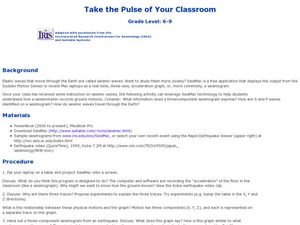
Take the Pulse of Your Classroom
Students discuss seismic waves. In this science lesson, students investigate the acceleration of the floor in the classroom similar to a seismograph. Students observe a three-component seismogram from an earthquake and determine what it...
Science Buddies
Science Buddies: Locating an Earthquake Using a Global Seismic Network
When an earthquake happens, how are scientists able to determine the original location of the quake? In this project, you'll use archived data from a global network of seismometers to find out for yourself. You will make your own...
Other
Digital Library for Earth System Education: Teaching Box: Earthquake Country
A suite of lessons focusing on all aspects of earthquakes. Inquiry-based exploration of earthquakes includes measuring seismic waves, predicting earthquakes, investigating magnitude and intensity, mapping fault lines, and evaluating...
TeachEngineering
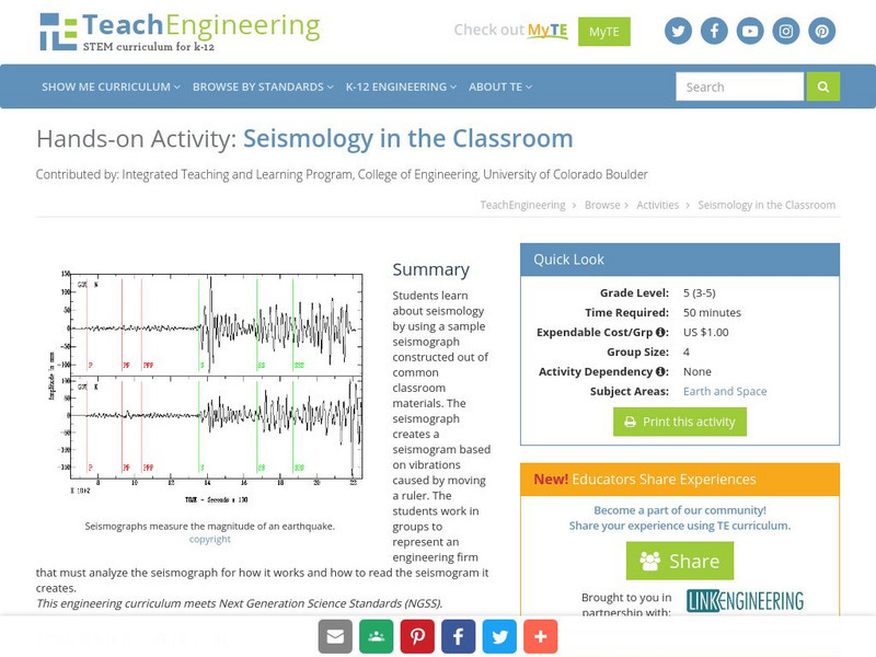
Teach Engineering: Seismology in the Classroom
Students learn about seismology by using a sample seismograph constructed out of common classroom materials. The seismograph creates a seismogram based on vibrations caused by moving a ruler. The students work in groups to represent an...
US Geological Survey
U.s. Geological Survey: Earthquake Center: Glossary
This resource provides definitions of important earthquake related terms.
Science Education Resource Center at Carleton College
Serc: Earth Science Education Activities: Prof. Larry Braile
A lesson collection covering plate tectonics, with some structural geology and planetary science projects. The PDF files include activities, hand outs, maps, and directions for building a simple seismometer and seismograph. Also included...
TryEngineering
Try Engineering: Shake It Up With Seismographs
During this lesson, students learn how seismographs work and how technology has impacted the world by helping save lives from earthquakes. They will work in teams to design, test, and evaluate the results of their own seismographs, then...
PBS
Pbs Teachers: Seismometer
Build an instrument for measuring movement to learn about how scientists measure the Earth's movement with a seismometer.
PBS
Nova: Volcano Swat Team
After the eruption of Nevado del Ruiz killed more than 23,000 people in Colombia in 1985, the U.S. Office of Foreign Disaster Assistance asked the U.S. Geological Survey to design a program to help foreign governments cope with volcano...
Scholastic
Scholastic: Study Jams! Science: Landforms, Rocks & Minerals: Earthquakes
A video and a short multiple-choice quiz on earthquakes, how they form, how they are measured, and the ways they can change the surface of the Earth.
CK-12 Foundation
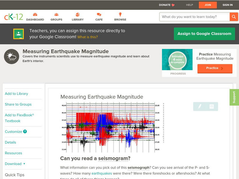
Ck 12: Earth Science: Measuring Earthquake Magnitude
[Free Registration/Login may be required to access all resource tools.] Covers the instruments scientists use to measure earthquake magnitude.
CK-12 Foundation
Ck 12: Earth Science: Measuring Earthquake Magnitude
[Free Registration/Login may be required to access all resource tools.] Covers the instruments scientists use to measure earthquake magnitude.
Other
University of Wisconsin Green Bay: Faults and Earthquakes
This site is primarily set up as an outline and is loaded with graphs, maps, and images. It covers a variety of earthquake-related topics, such as what causes earthquakes, fault lines and structures, seismology, a historical look at...
Incorporated Research Institutions for Seismology
Iris: Watch Earthquakes as They Occur
This fact sheet provides an introduction to an interactive display of global seismicity that allows users to monitor earthquakes in near real-time, view records of ground motion, learn about earthquakes, and visit seismic stations around...
Incorporated Research Institutions for Seismology
Iris: Seismic Sequences
In this exercise, students will interpret one (1) 2D seismic line- Line C. This line is from offshore West Africa. This is as specific that the students need to know to work the exercise. During the review of the solution, it will be...
Incorporated Research Institutions for Seismology
Iris: Global Seismogram Viewer
Discover the P-wave Shadow Zone and how it can be used to determine the diameter of Earth's outer core.
Incorporated Research Institutions for Seismology
Iris: How Does a Seismometer Work?
An overview of the basic components of a seismometer and physical science principles behind its operation.
Incorporated Research Institutions for Seismology
Iris: Us Array Ground Motion Visualizations
The USArray Ground Motion Visualization (GMV) is a video-based IRIS DMS product that illustrates how seismic waves travel away from an earthquake location by depicting the normalized recorded wave amplitudes at each seismometer location...
CK-12 Foundation
Ck 12: Earth Science: Measuring Earthquake Magnitude Study Guide
An overview of measuring earthquake magnitude.
Science Buddies
Science Buddies: Make Your Own Seismograph
A seismograph is a tool scientists use to record earthquakes and measure their strength. In this activity you will build your own seismograph using simple materials.
Other
Ceri: Earthquake Facts and Follies
A list of frequently asked questions about earthquakes. This is a good source for earthquake trivia and separating fact from fiction.


