Curated OER
South America and Central America Map Quiz
In this online interactive geography quiz worksheet, students examine the map that includes all of Central and South America's countries. Students match each of the country names to the appropriate locations on the map.
Curated OER
South America and Central America Capitals Map Quiz
In this online interactive geography quiz worksheet, students examine the map that includes all of Central and South America's countries. Students match each of the country names to the appropriate locations on the map.
Curated OER
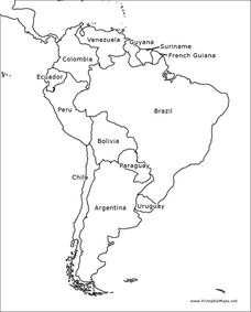
South America Outline Map
For this blank outline map worksheet, students explore the political boundaries of South America and the nations there. This map may be used in a variety of classroom activities. The map is labeled with the country names.
Curated OER
South America Outline Map
In this blank outline map instructional activity, students explore the political boundaries of South America and the nations there. This map may be used in a variety of classroom activities. The location of the capital cities are...
Curated OER
South America Map
For this South American political map worksheet, students examine both national boundaries and national capitals.
Curated OER
Americas: Political Map
In this North America and South America outline map worksheet, students examine the political boundaries of the 2 continents.
Curated OER
South America Map
In this South America political map learning exercise, students examine the country boundaries. The map also labels each of the countries and their capitals.
That Quiz
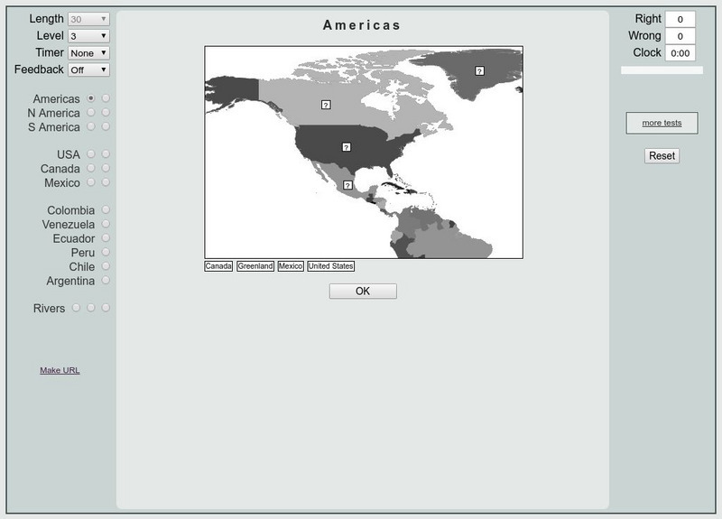
That Quiz: Practice Test: Americas
This resource provides a practice test which allows users to test their geographical knowledge of the Americas.
Enchanted Learning
Enchanted Learning: South America
Here at this site from Enchanted Learning, you will find many links, lesson plans, map printouts, and activities on South America. The information is very good, and links are also provided for additional information.
University of California
Earthguide: Maps: Shaded Relief: South America [Pdf]
View a digital image of a colored shaded relief map of South America.


![Earthguide: Maps: Shaded Relief: South America [Pdf] Graphic Earthguide: Maps: Shaded Relief: South America [Pdf] Graphic](https://d15y2dacu3jp90.cloudfront.net/images/attachment_defaults/resource/large/FPO-knovation.png)