Curated OER
South Asia: Political Map
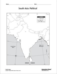
In this South Asia outline map worksheet, students & examine boundaries of each of the countries in the region. This map is labeled with the country and capital city names.
Curated OER
South Asia: Political Map
In this South Asia political map activity, students examine the national boundaries. The map also highlights each country's capital city.
University of Texas at Austin
Univ. Of Texas Libraries: Perry Castaneda Map Collection
A collection of maps detailing every area of Asia from every viewpoint.
Curated OER
University of Texas: Map of Southern Asia
This political map shows the countries and capitals of the Middle East and South Asia as well as other countries in Asia.


