Curated OER
The Nifty Fifty-What's Your Size?
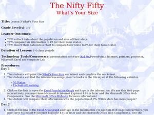
Students explore state populations. In this state geography lesson, students use a variety of technology tools to research and graph population and area of assigned states.
Other
Forbes: Migration Map
Enter a county or major city to see the inbound and outbound migration data. This map visualizes migration data from the years 2005-2010 that the IRS has collected. In order to preserve privacy, the IRS only includes moves that more than...
US Census Bureau
U.s. Census Bureau: Population and Housing Unit Estimates
This site is prepared by the U.S. Census Bureau and has numerous links to topics such as national, state, and county estimates, and much more. Estimates are also available for previous years.
US Census Bureau
United States Census Bureau: Population Projections Tables
Series of projections for different years.
A&E Television
History.com: The States
Learn unique facts about each American state. You can also read a more in-depth history of each state, watch videos and play a game about all the states.


