Curated OER
Pangaea Puzzle
Students explore plate tectonics and the formations of the Earth's surface and why maps are distorted. In this Earth's surface lesson plan students complete a lab and answer questions.
Exploratorium
Exploratorium: On the Road With the Faultline Project
This outstanding multimedia website follows the San Andreas fault system up the California coast from San Diego to just north of San Francisco on the coast.
PBS
Pbs/wgbh: Tectonics: Mountain Maker, Earth Shaker
A visual interactive illustrating the impact of tectonic plate motion. Users will move each plate to see what happens to the Earth's surface.
Other
Nevada Seismological Laboratory: Seismic Waves
This resource describes the two different types of seismic waves and how they travel through the earth, offers diagrams of the waves, their speeds, and how seismograms are used to locate earthquakes.
Other
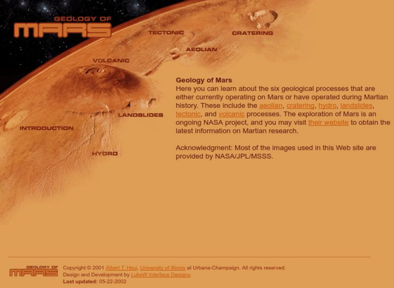
Luke W Interface Designs: Geology of Mars
Learn about six geological processes from Luke W Interface Designs that are happening or have happened on Mars. Ex: aeloian, cratering, landslides, volcanic, and more.
Michigan Technological University
How Are Earthquake Magnitudes Measured?
This website explains how the Richter and Mercalli Scales work.


