Curated OER
Regents High School Examination: Physical Setting Earth Science 2008
Throughout this earth science exam, high-school geologists complete a series of multiple choice and short answer questions about the solar system, atmosphere, and earth system. This is an amazing test, as are all of the exams developed...
Curated OER
Time Around the World
Seventh graders investigate the characteristics of a time zone map. They read and interpret time zone maps. Students compare the time in various time zones. Students solve time zone problems.
Curated OER
Time
Students make a sundial. For this time lesson, students determine the time of the day by creating a sundial. They check the time on the sundial, hourly, for one week. Afterward, they explore what happened to the shadows in reference to...
Curated OER
Time Zones
Students solve time zone problems and chart travel around the world. In this time zone lesson, students learn about the history of time zones and view a time zone map. Students use the time zone map to solve time zone problems. ...
Other
Time Zone Check: Time Zone Map
This interactive world map shows the different time zones and what the times are in major world cities. You can click on your region, then find out the time in another part of the world!
Biblioteca Virtual Miguel de Cervantes
Biblioteca Virtual Miguel De Cervantes: Paraguay
This resource site in Spanish for the country of Paraguay. The flag and a general map of the country are included. Of particular interest is the statistical data available on land size, climate, population, life expectancy, infant...
Biblioteca Virtual Miguel de Cervantes
Biblioteca Virtual Miguel De Cervantes: El Salvador
This resource site in Spanish for the country of El Salvador. The flag and a general map of the country are included. Of particular interest is the statistical data available on land size, climate, population, life expectancy, infant...
Biblioteca Virtual Miguel de Cervantes
Biblioteca Virtual Miguel De Cervantes: Costa Rica
This resource site in Spanish for the country of Costa Rica. The flag and a general map of the country are included. Of particular interest is the statistical data available on land size, climate, population, life expectancy, infant...
Biblioteca Virtual Miguel de Cervantes
Biblioteca Virtual Miguel De Cervantes: Colombia
This resource is on the country of Colombia. The flag and a general map of the country are included. Of particular interest is the statistical data available on land size, climate, population, life expectancy, infant mortality rate, and...
Biblioteca Virtual Miguel de Cervantes
Biblioteca Virtual Miguel De Cervantes: Espana
This resource site in Spanish for the country of Spain. The flag and a general map of the country are included. Of particular interest is the statistical data available on land size, climate, population, life expectancy, infant mortality...
Georgia Department of Education
Ga Virtual Learning: Astronomy: The Earth
In this interactive tutorial students will learn what causes the seasons, diurnal cycles and how the constellations move through the sky. Learn we are able to see other planets and how astronomical events affected life on the Earth.
Other
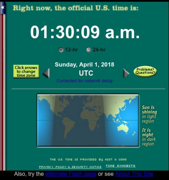
The Official U. S. Time
Get the official U.S. time from the official U.S. timekeepers, the National Institute of Standards and Technology (NIST), and its military counterpart, the U.S. Naval Observatory. Java needs to be enabled to see the timeclocks. There are...
E-learning for Kids
E Learning for Kids: Math: Food Market: Area and Time Zones
Join Maya in the food market and make patties with her while she learns about the area of triangles and about time zones.
E-learning for Kids
E Learning for Kids: Math: Eiffel Tower: Time, Area and Measurement
Take a tour of the Eiffel Tower with Marie-Clare and measure its area. Read and interpret time and look at cross-sections of 3D figures.
British Council
British Council: Learn English Kids: One Moment Around the World
Listen to a story that helps you understand time zones around the world. The story begins at 5:00 in the morning in London; as you read or listen to the story, you are asked to determine what time it is in other parts of the world using...
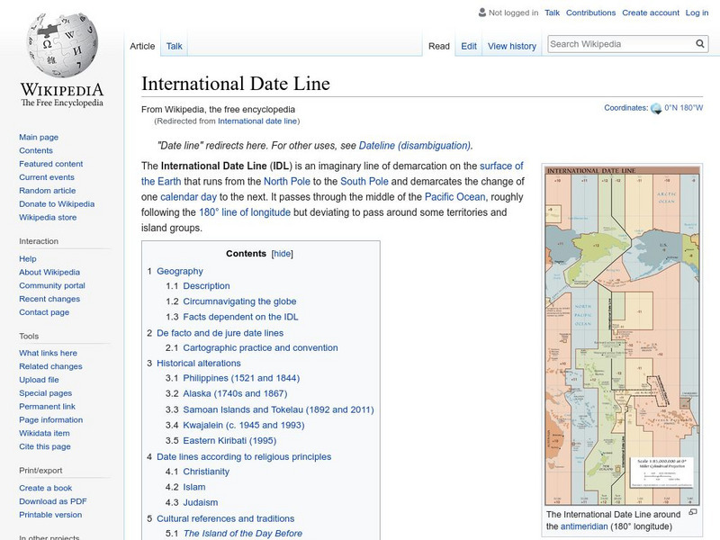
Wikimedia
Wikipedia: International Date Line
Wikipedia offers information on the International Date Line, an imaginery line that offsets the hours added as one travels east through time zones.
University of Hawai'i
University of Hawaii: Time Zones
This site is provided for by the University of Hawaii. Students will learn about the purpose of time zones and then use time zone maps to calculate the time and day in a specific area.
Other
Just Maps: World Maps
An index of maps and flags of countries throughout the world. Also provides political maps, time zones, population, and religious maps of every region of the world.
Other
World Time Zone Map
This resource contains a flat map of the world with all of the time zones. See what time it is on the other side of the world.
Biblioteca Virtual Miguel de Cervantes
Biblioteca Virtual Miguel De Cervantes: Peru
This resource site in Spanish from the Biblioteca Virtual Miguel de Cervantes for the country of Peru. The flag and a general map of the country are included. Of particular interest is the statistical data available on land size,...
Biblioteca Virtual Miguel de Cervantes
Biblioteca Virtual Miguel De Cervantes: Uruguay
This resource site from the Biblioteca Virtual Miguel de Cervantes in Spanish for the country of Uruguay. The flag and a general map of the country are included. Of particular interest is the statistical data available on land size,...
Biblioteca Virtual Miguel de Cervantes
Biblioteca Virtual Miguel De Cervantes: Ecuador
This resource site from Biblioteca Virtual Miguel de Cervantes in Spanish for the country of Ecuador. The flag and a general map of the country are included. Of particular interest is the statistical data available on land size, climate,...
Biblioteca Virtual Miguel de Cervantes
Biblioteca Virtual Miguel De Cervantes: Puerto Rico
Bibliotica Virtual Miguel de Cervantes is an excellent resource site in Spanish for Puerto Rico. The flag and a general map of Puerto Rico are included. Of particular interest is the statistical data available on land size, climate,...
Biblioteca Virtual Miguel de Cervantes
Biblioteca Virtual Miguel De Cervantes: Panama
Excellent resource site from the Bibliotica Virtual Miguel de Cervantes in Spanish for the country of Panama. The flag and a general map of the country are included. Of particular interest is the statistical data available on land size,...


