Curated OER
Topographic Mapping Skills
In this geography worksheet, learners read an excerpt about topographic maps and why they are useful for various jobs. They also respond to eleven questions that follow related to the excerpt and locating specific map points on the map...
Curated OER
Mapping Deep-Sea Habitat
Students create a two-dimensional topographic map and a 3-D model of landforms. In this creative lesson students create 2 and 3-D objects and learn how to interpret the data from these things.
US Geological Survey
United States Geological Survey: Topographic Maps
"Note: The information on this page is being retained for technical and historical reference only. The site is not under active maintenance and may include expired information and outdated links." This site gives an overview of the...
US Geological Survey
U.s. Geological Survey
The U.S. Geological Survey reports on the latest news affecting the earth today, as well as providing a wealth of data, reports, and information.
Texas Instruments
Texas Instruments: Jason: Topographic Maps What Can They Tell Us?
Rainforests at the Crossroads: Explore the topographic map of Barro Colorado Island (BCI); find the elevations of different locations and how far apart they are. Also determine the steepness of the land by observing the contour lines on...
Texas Instruments
Texas Instruments: Jason: Make a Topographic Map
Rainforests at the Crossroads: Make a topographic map of a simulated terrain, which consists of your classroom floor and two boxes of different sizes.
National Association of Geoscience Teachers
Nagt: Crate Lake Map Assignment
This exercise gives learners a chance to compare a topographic map with a 3D map, and then use the maps to answer questions. The questions highlight student gains using 3D to interpret surface features.
CK-12 Foundation
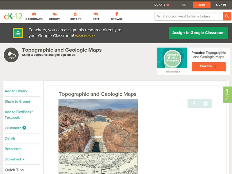
Ck 12: Earth Science: Topographic and Geologic Maps
[Free Registration/Login may be required to access all resource tools.] How to use topographic and geologic maps.
American Geosciences Institute
American Geosciences Institute: Earth Science Week: Map Making Basics
This activity will help middle schoolers discover some features as they create a geologic map.
Other
Usgs: The National Map: Us Topographical Map
Use this map to explore the topography of the United States.
Other
Ontario Topographic Map
Features a topographical map of Ontario. Click on different options to edit the map.
Enchanted Learning
Enchanted Learning: Topographic Map Activity
An activity to practice interpreting contours.
Other
Topo Zone: Free Usgs Topo Maps for the Entire United States
A huge collection of topographic maps for each of the US states. Scroll down to see a map of the United States and click on the state you are interested in. From there, you can search for a particular location, choose a featured map, or...
CK-12 Foundation
Ck 12: Earth Science: Maps Study Guide
Get an overview of different types of Earth Science maps.
Math Science Nucleus
Math Science Nucleus: Topographic Maps
For a picture of a topographical map, go to this page. There is some information to help you understand what they are.


