Curated OER
Do the Tallywalker
Students study the basics of mapmaking, then make a tally walker, (geographic location device used in secret).
Curated OER
Overland Trails To The West
After observing a map of trails that settlers took in the 1800s, your class will write a journal with the perspective of a settler. In their journals, they must describe the trail they traveled, geographical features they saw, states and...
Curated OER
Assessment Techniques: Trials
This assessment tool can be used to determine if your Autistic or special needs pupil can identify particular objects. You will document the number and types of prompts needed for the child to complete the task. This is typically used...
Curated OER
Animal Signs
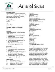
Students discuss the many different types of animal signs that can be used to identify and track all types of animals. They examine tracks, trails, homes, territory markings, and even "scat" left by animals and attempt to identify the...
Curated OER
Animal Signs
Students discuss the many different types of animal signs that can be used to identify and track animals. They participate in an hands-on activity in which they examine tracks, trails, homes, territory markings, and even "scat" left by...
Curated OER
Ancient Highways-Native Byways of Salmon Lake State Park
Eighth graders investigate the concept of the trail system used by the Native Americans. They compare and contrast the trails to modern transportation roadways of today. Students also define the types of information archaeologists use to...
Other
Bike ride.com: Bicycling Events Calendar
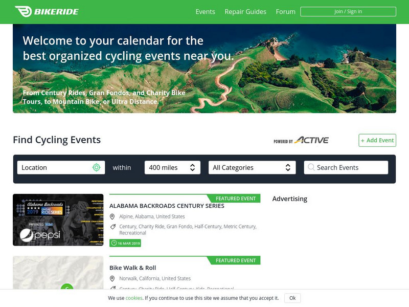
This resource lists cycling events for the entire U.S. and Canada. There is a searchable database that allows you to put in the city you want and how many miles away you are willing to travel for all types of cycling events.
Brigham Young University
Library of Congress: Maps: Their Use by Overlanders
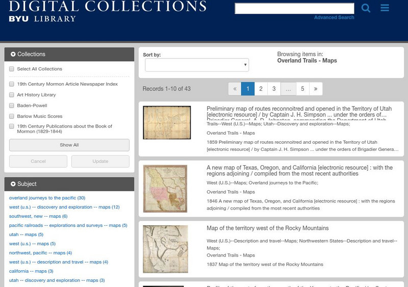
Did the settlers know where they were going when they headed west? This site gives an explanation of maps that were used during the westward movement.


