US Geological Survey
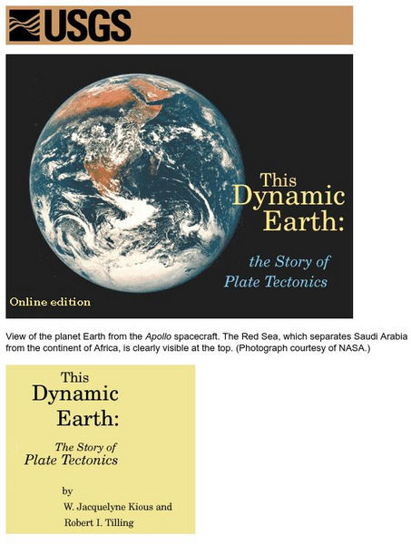
Us Geological Survey: Ring of Fire & Plate Tectonics
A massive amount of information on the Ring of Fire and plate tectonics. There are links to graphics and text. The volcanoes in the Ring of Fire are discussed in detail by area.
US Geological Survey
Us Geological Survey/ 20th Century Eruptions
table of 20th century eruptions. The dates are in chronological order starting with the most recent. Each eruption has a link and a description.
US Geological Survey
U.s. Geological Survey: North Prairie Wildlife Research: Caterpillars of Forests
Descriptions, photographs and information on the caterpillar life cycle for the different species of eastern United states caterpillars. Includes details on collecting and photographing specimens.
US Geological Survey
Us Geological Survey: Bioremediation: Nature's Way to a Cleaner Environment[pdf]
Excellent information provided by the U.S. Geological Survey.
Smithsonian Institution
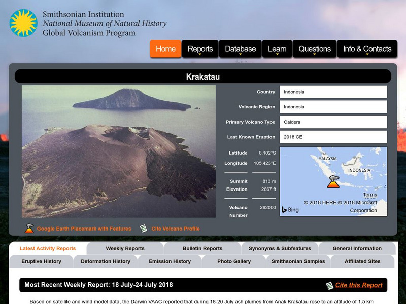
National Museum of Natural History: Global Volcanism Program: Krakatau
The volcano Krakatau is in Indonesia. Learn about its background information, description, frequently asked questions, items of interest and useful links.
US Geological Survey
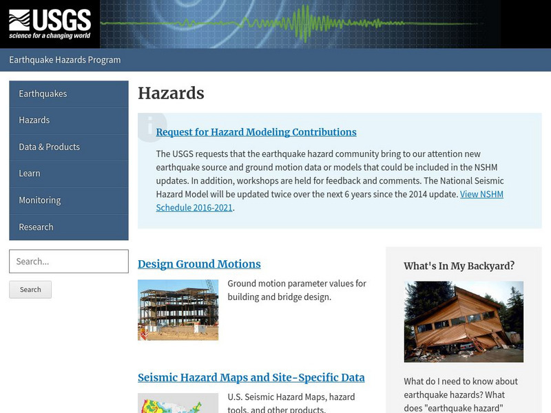
Us Geological Survey: Earthquake Hazards
Find out about earthquake hazards and damage. Some of the topics are an introduction to hazards, hazard maps, soil types and damage, and recent damage caused by earthquakes.
US Geological Survey
U.s. Geological Survey:the Great M9.2 Alaska Earthquake of March 27, 1964
A description of the earthquake in Prince William Sound, Alaska in 1964. Links to isoseismal map, earthquake damage photos, and seismogram of the earthquake.
US Geological Survey
U.s. Geological Survey
The U.S. Geological Survey reports on the latest news affecting the earth today, as well as providing a wealth of data, reports, and information.
US Geological Survey
Us Geological Survey: Mt. Rainier
Extensive information on Mt. Rainier in Washington. Links to current information, background information, visit a volcano, items of interest, publications and reports, educational outreach, menus of interest and useful links.
US Geological Survey
Us Geological Survey: Mt. Saint Helens
All the information that you would ever want to know about Mt. Saint Helens. There is a massive number of links to current information, background information, items of interest, eruption history and the May 18, 1980 eruption.
US Geological Survey
Usgs: Plate Tectonics and Mid Oceanic Ridges
Excellent graphics and understandable text about all aspects of plate tectonics including mid-ocean ridges.
US Geological Survey
U.s. Geological Survey: Water Cycle
An in-depth explanation of the Earth's water cycle, including a hyperlinked diagram that provides direct access to information about each phase in the cycle.
US Geological Survey
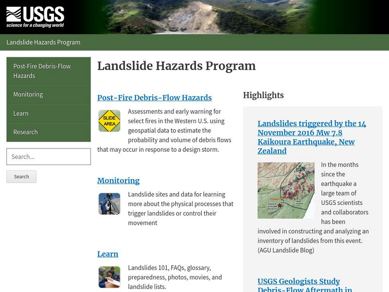
Usgs: Landslide Hazards Program
Discusses the problems associated with landslides, where they occur, and why they occur.
US Geological Survey
U.s. Geological Survey: Geologic Time
A discussion of geologic time, how scientists use the concept, and how they have determined its span.
US Geological Survey
U.s. Geological Survey: The Usgs and Science Education
"Explore things on, in, around and about the earth," with this web site dedicated to K-12 education from the United States Geological Survey. Homework help, science topics and fun learning games for students in Kindergarten through High...
US Geological Survey
Usgs: Understanding Plate Motions
The U.S. Geological Survey provides descriptions and illustrations for the plate boundaries of the Earth's surface.
US Geological Survey
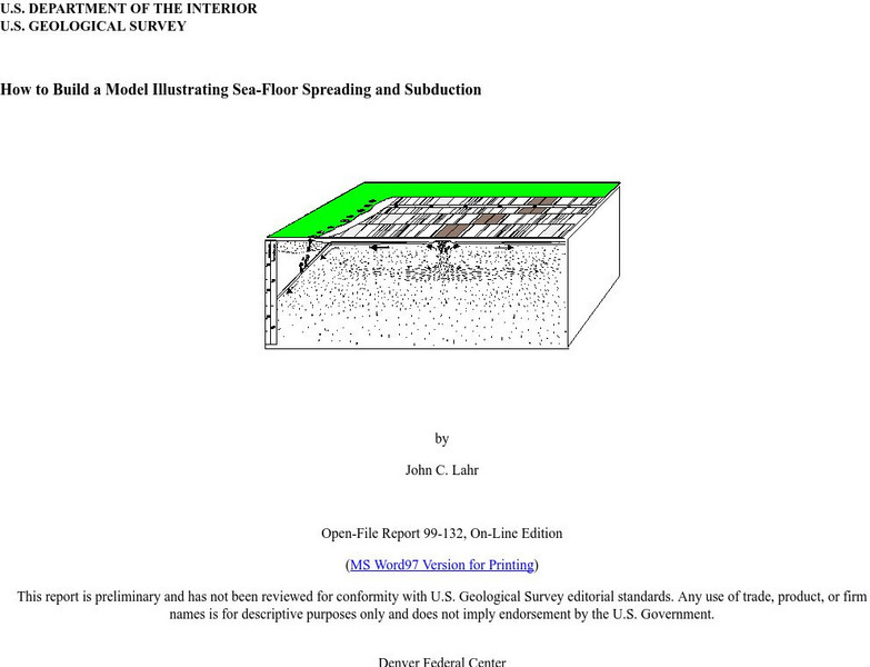
Usgs: How to Build a Model Illustrating Sea Floor Spreading
This is a comprehensive website featuring how to build a model that illustrates sea-floor spreading and subduction. It has diagrams and pictures reviewing major geological concepts.
US Geological Survey
U.s. Geological Survey: Water Resources of the United States
Visit the U.S. Geological Survey's website for a wide variety of information on water. Content includes data on water quality, water use, acid rain, among others; publications; information on water resource programs; maps; information on...
US Geological Survey
U.s. Geological Survey: San Andreas Fault at Wallace Creek
See interactive, 360 degree panoramic photos of the San Andreas Fault. Aerial photos of the fault were taken using a technique called Kite Aerial Photography.
US Geological Survey
Usgs: Tsunamis in the Pacific Northwest
This page from the U.S. Geological Survey is devoted to Tsunamis in the Pacific Northwest. View some animations of tsunamis.
US Geological Survey
Usgs: South Florida Virtual Tour
South Florida offers ecosystems unknown to the rest of the United States. Follow along with a tour of places like Everglades National Park, Big Cypress National Park and the Florida Keys to investigate these natural wonders.
US Geological Survey
Northern Prairie Wildlife Research Center
The Great Plains organization provides individuals, organizations, and governments with key information about the Great Plains environment through a resource pool of publications, reports, and government data.
US Geological Survey
Usgs: Virtual Tours of National Parks
Excellent site to discover the National Parks from the convenience of your computer. Click on each park for a virtual tour, many in 3D, many offering historic photos. Dig deep into our national geologic story.
US Geological Survey
Usgs: Arsenic in Ground Water in the United States
This page discusses the presence of arsenic (chemical symbol As) in ground water in the United States. Also provides many links to other sites about arsenic (especially in drinking water.)


