US Geological Survey
Cvo: Magma, Lava, and Lava Flows
Site delves into magma, lava and lava flows. Provides numerous links for additional references.
US Geological Survey
Us Geological Survey/ Historic Eruptions
Tambora of Indonesia had one of the deadliest eruptions since 1500. You will learn about the volcano and you can link to other related items.
US Geological Survey
Usgs: Volcanic Hazards, Features, and Phenomena
Site from the U.S. Geological Survey provides a brief list of volcano terminology including descriptions as well as links to major menus.
US Geological Survey
Us Geological Survey:stream Gaging and Flood Forecasting [Pdf]
The U.S. Geological Survey and the National Weather Service work together to provide information at this site about floods. The site talks about two main topics on floods, stream gaging and flood forecasting.
US Geological Survey
Usgs: Guidelines for Writing Hydrologic Reports [Pdf]
A very informative site, which is provided for by the U.S. Geological Survey, on how to write hydrologicic reports.
US Geological Survey
Usgs: Geologic Maps
This site has a good description of what this particular type of map represents. It also explains the colors and letter symbols, faults, and strike and dips.
US Geological Survey
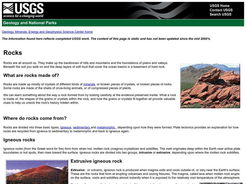
U.s. Geologic Survey: Rocks
What are rocks made of? Where do rocks come from? What is an igneous rock? These are just some of the questions answered by the scientists of the U.S. Geologic Survey.
US Geological Survey
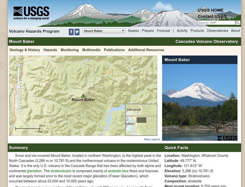
Usgs: Mount Baker Volcano, Washington
Provides detailed information on Mount Baker as well as information on glaciers, hydrology, lakes and drainages and other points of interest.
US Geological Survey
Usgs: 2004 Deadliest in Nearly 500 Years for Earthquakes
The USGS provides the facts and figures on 2004's earthquakes, which is the second most fatal in recorded history.
US Geological Survey
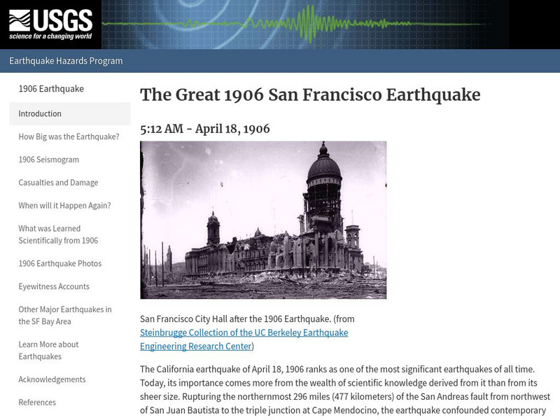
U.s. Geological Survey: The Great 1906 San Francisco Earthquake
General information about the San Francisco earthquake, as well as some information about how studying that earthquake helped scientists in learning more about when and where earthquakes will occur.
US Geological Survey
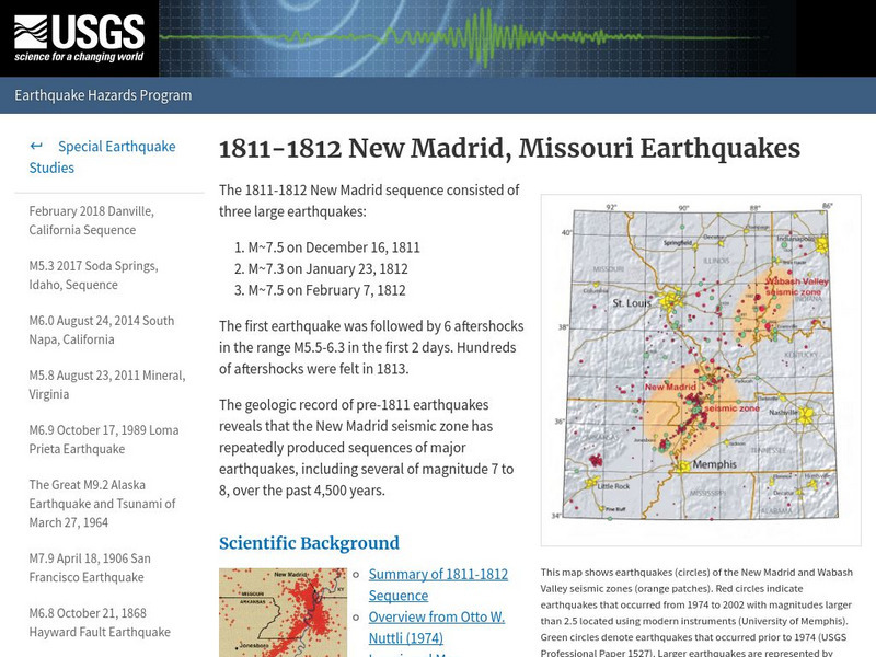
U.s. Geological Survey:1811 1812 New Madrid, Missouri Earthquakes
A detailed description of events that took place during the 1811 and 1812 earthquakes in New Madrid, and information concerning a similar event in the future.
US Geological Survey
U.s. Geological Survey: 1906 Marked the Dawn of the Scientific Revolution
This site contains information about we have learned about the San Andreas Fault since 1906.
US Geological Survey
Hawaiian Volcano Observatory: Mauna Loa Earth's Largest Volcano
Mauna Loa means long mountain, and it is the largest and most active volcano on earth. Get some good overall facts regarding this infamous volcano.
US Geological Survey
U.s. Geological Survey: Search
The U.S. Geological Survey offers information for teachers and students interested on Earth Science research. Contains references to general information as well as current research and events.
US Geological Survey
U.s. Geological Survey: Today in Earthquake History
Updated daily, this page describes any notable earthquakes that happened on this day in history. Each earthquake has a link to more information about what happened on that particular day.
US Geological Survey
Usgs: Real Time Water Data for the Nation
This interactive map of the US allows you to select among numerous streams and rivers to determine their current flow rate.
US Geological Survey
Usgs: Tsunami & Earthquake Research
The USGS provides an extensive section of information about tsunamis. The items presented are the basics of tsunamis regarding the Great San Francisco earthquake of April 18, 1906, tsunamis in the U.S. Pacific Northwest, and the 1998...
US Geological Survey
Usgs: Geologic Time
This large U.S. Geological Survey site offers a look at the age of the earth, how radiometric dating is used to calculate it, the major divisions of geologic time, and the classification and use of fossils.
US Geological Survey
Usgs: The Interior of the Earth
This site provides a detailed discussion of the Earth's interior. Facts about the crust, mantle, and core are given along with diagrams of each. Also presents a table that lists the thickness and types of rock found in each part of the...
US Geological Survey
Usgs: Earth's Water Surface Water
This site has everything you might want to know about surface water and things you probably didn't even imagine! Click Home to access the site in Spanish.
US Geological Survey
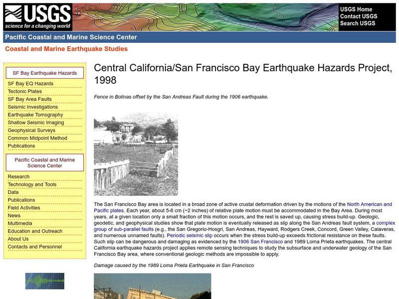
Central California Earthquake Hazards Project
Here is a review of the geology behind earthquakes and what is being done to predict the "Big One" on the San Andreas Fault.
US Geological Survey
Usgs: Water Quality of San Francisco Bay
This resource from the United State Geological Survey provides data about San Francisco Bay's water quality. Data is displayed in time series plots, vertical profiles, longitudinal sections, space and time contours, and x-y scatter plots.
US Geological Survey
Us Geological Survey: Saturn Satellites
This resource provides images of Saturns satellites.
US Geological Survey
United States Geological Survey: Apollo Mission Lunar Panoramas
View interactive panoramic views taken by Apollo missions 11, 12, 14, 16 and 17. You can zoom in on each panoramic to see more detail.


