Curated OER
The New Madrid Earthquakes of 1811-1812: Shaking Our Misconceptions about Earthquakes in United States History
Students Examine how earthquakes work and what plate tectonics and fault lines are. In this earthquake lesson plan students complete an earthquake scavenger hunt.
Curated OER
Saving the Bay
Students investigate water pollution prevention. In this ecology wastewater lesson, students activate prior knowledge about sewage, then view a video explaining the waste water sewage system used in the San Francisco Bay area. Students...
US Geological Survey
U.s. Geological Survey: Greenhouse Gases [Pdf]
Lesson plan in which students observe and contrast thermal properties of three major greenhouse gases. Using simple, readily available materials, students collect temperature change over time for dry air, water-saturated air, carbon...
US Geological Survey
U.s. Geological Survey: Land and People: Finding a Balance
Environmental study project engages high school students in studying earth science resource issues. The project focuses on the interaction between people and the environment in three regions of the United States: Cape Cod, Los Angeles,...
US Geological Survey
U.s. Geological Survey: The Life Cycle of a Mineral Deposit [Pdf]
This teacher's guide consisting of 10 activity based learning exercises defines what a mineral deposit is and how a mineral deposit is identified and measured, how the mineral resources are extracted, how the mining site is reclaimed,...
US Geological Survey
U.s. Geological Survey: Lead Soft and Easy to Cast [Pdf]
This detailed resource teaches about lead and the important role it plays in the national economy, national security, and lives of Americans every day. Discover how we use lead, where it comes from, and where future lead supplies might...
US Geological Survey
Usgs: Fact Sheet: Molybdenum a Key Component of Metal Alloys [Pdf]
Read this detailed fact sheet to learn about molybdenum and the important role it plays in the national economy, national security, and lives of Americans every day. Discover how we use it, where we can find it, and where we can find...
US Geological Survey
U.s. Geological Survey: What's in My Soil? [Pdf]
Lesson plan engages students to separate, examine and identify the major components of soil to better understand how these components give soil its unique physical characteristics.
US Geological Survey
U.s. Geological Survey: Fossils, Rocks, and Time
Publication delves into the importance of studying the Earth's history and how we go about doing it. View pictures and diagrams showing the geological time scale and fossil succession.
US Geological Survey
U.s. Geological Survey: Copper a Metal for the Ages [Pdf]
Read this detailed resource to learn about copper and the important role it plays in the national economy, national security, and the lives of Americans every day.
US Geological Survey
U.s. Geological Society: Landslide Hazards [Pdf]
Information about landslide hazards is presented in a detailed fact sheet. Landslide hazards occur in many places around the world and include fast-moving debris flows, slow-moving landslides, and a variety of flows and slides initiating...
US Geological Survey
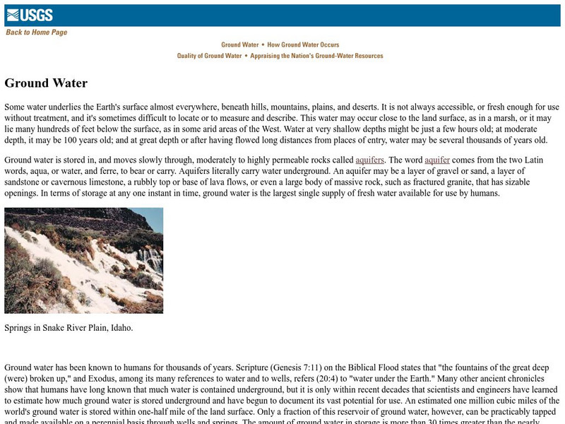
U.s. Geological Survey: Ground Water
Useful publication from the U.S. Geological Survey explains through text, images, and diagrams what groundwater is, where it is stored, how it occurs, and its quality.
US Geological Survey
U.s. Geological Survey: Nutrients and Pesticides
The first two sections provide a general overview of findings on nutrients and pesticides and their implications for water-resource management and protection. More detailed technical discussions of the sources, distributions, and...
US Geological Survey
U.s. Geological Survey: Hotspots: Mantle Thermal Plumes
Learn more about the hot spot theory developed in 1963 by the Canadian geophysicist J. Tuzo Wilson. Diagrams help you visualize the way hot spots formed geologic structures such as the Hawaiian Islands.
US Geological Survey
Usgs: Fire and Mud, Mount Pinatubo
A chronicle of the eruption of Mount Pinatubo in the Philippines. Click on Fire and Mud Contents at the bottom of the first page to see the contents of this report.
US Geological Survey
Bismuth
A listing of all sorts of available reports on bismuth. Great resources for students at many levels.
US Geological Survey
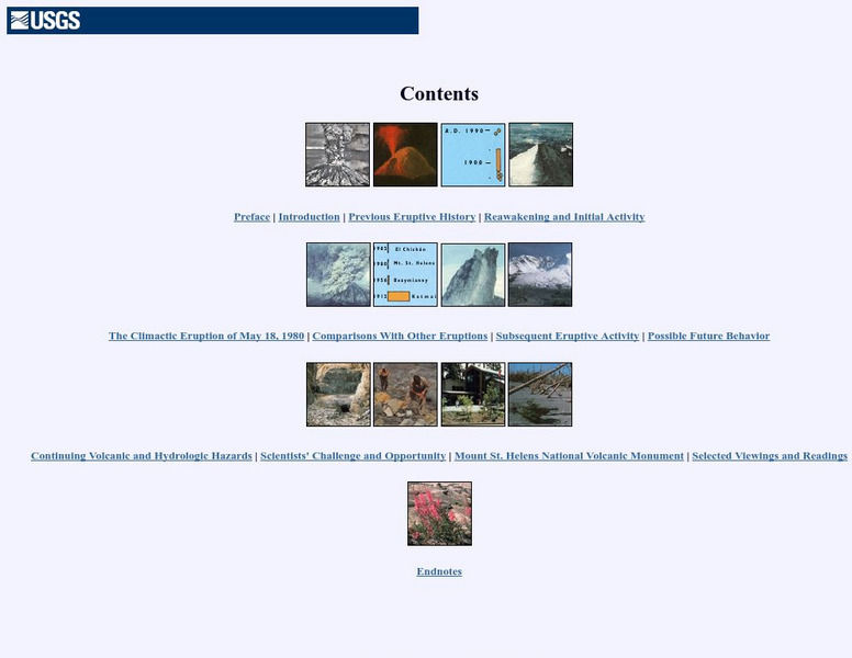
Us Geological Survey: Mt. Saint Helen
This page has a graphical and textual table of contents. You can go to an introduction, preface, previous eruption history, reawakening, and more!
US Geological Survey
Us Geological Survey: Volcanoes
This online book by Robert Tilling covers some key concepts such as eruptions, extraterrestrial volcanoes, and people and volcanoes.
US Geological Survey
U.s. Geological Survey: Volcanoes of the u.s.
This graphical and textual journey about the US volcanoes was made by Steven Brantley. There is an introduction, volcanoes and plate tectonics, Hawaiian volcanoes, cascade volcanoes, restless volcanoes, a glossary and further readings.
US Geological Survey
Us Geological Society: Hawaiian Volcanoes
This is an online book about Hawaiian volcanoes. You can learn about the past, present and future of the Hawaiian volcanoes.
US Geological Survey
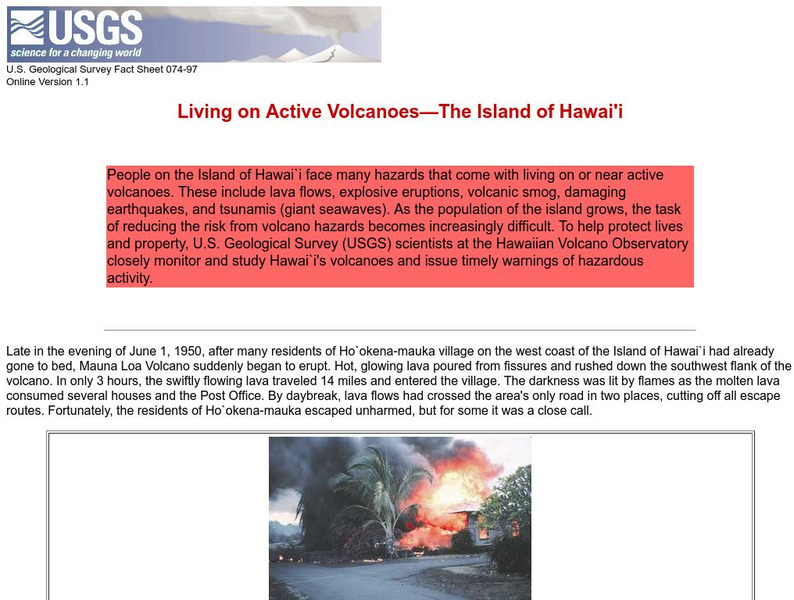
Living on Active Volcanoes on Hawaii
Living on the island of Hawaii brings you the hazard of living near a volcano. Read about actual eruptions and get scientific seismic information and maps.
US Geological Survey
Usgs: u.s. Atlantic Continental Margin Gloria Mapping Program
This site from the U.S. Geological Survey allows you to access detailed images of the continental margin around the United States. There is additional information about the sonar methods used, and a wealth of additional sources listed.
US Geological Survey
United States Geological Survey: Topographic Maps
"Note: The information on this page is being retained for technical and historical reference only. The site is not under active maintenance and may include expired information and outdated links." This site gives an overview of the...
US Geological Survey
Usgs: The San Andreas Fault
A great overall site that tells us about the San Andreas fault, where it is and what kind of movements have occurred. It then goes on to talk about earthquakes in general and their occurrences along fault lines.



![U.s. Geological Survey: Greenhouse Gases [Pdf] Lesson Plan U.s. Geological Survey: Greenhouse Gases [Pdf] Lesson Plan](https://d15y2dacu3jp90.cloudfront.net/images/attachment_defaults/resource/large/FPO-knovation.png)
![U.s. Geological Survey: The Life Cycle of a Mineral Deposit [Pdf] Lesson Plan U.s. Geological Survey: The Life Cycle of a Mineral Deposit [Pdf] Lesson Plan](https://content.lessonplanet.com/knovation/original/103395-5c42239a8a99c7379ce149e931874c8b.jpg?1661543877)
![Usgs: Fact Sheet: Molybdenum a Key Component of Metal Alloys [Pdf] Handout Usgs: Fact Sheet: Molybdenum a Key Component of Metal Alloys [Pdf] Handout](https://content.lessonplanet.com/knovation/original/103399-944f9004dbee1432a00f40b2b28d37e5.jpg?1661543881)

![U.s. Geological Survey: Copper a Metal for the Ages [Pdf] Handout U.s. Geological Survey: Copper a Metal for the Ages [Pdf] Handout](https://content.lessonplanet.com/knovation/original/103405-6eaac490860b1fda7ff1425a00731b10.jpg?1661803266)
