US Geological Survey
Usgs: National Water Quality Assessment Program
Use this website to find out about water quality issues anywhere in the U.S.A. where water studies have been conducted by the U.S. Geological Survey.
US Geological Survey
Usgs: Eolian Processes
A site containing a description of basic Eolian (wind) processes and how they effect various types of terrain. Includes many pictures which illustrate the presented concepts.
US Geological Survey
Usgs: Earthquakes
The U.S. Geological Survey sponsors this site about the history of earthquakes in the United States as well as information about how earthquakes are detected and measured.
US Geological Survey
Usgs: Surviving a Tsunami
Here's a common sense site about what to do in case you are in the area of a tsunami. This site is very interesting in that it provides lots of pictures of the damage a tsunami can do. Lessons were learned after these particular tsunamis.
US Geological Survey
Us Geological Survey: Groundwater: What Is Groundwater?
What is groundwater? Where does it fit into the water cycle? With the aid of a simple illustration, one is able to learn more about this topic. Includes link to a true-and-false quiz.
US Geological Survey
Us Geological Survey: Watersheds
Learn all about watersheds in this text based article. What are they? Where are they found? What purpose do they serve?
US Geological Survey
Usgs: Water Use in the United States
This thorough site delves into how we use water on an everyday basis. Ground water, surface water, domestic use, commercial use, irrigation use, are just a few of the topics described on this site. Click Home to access the site in Spanish.
US Geological Survey
U.s. Geological Survey: Land Use History and Changing Landscapes
This resource provides links that overview the history of land use in the United States. Numerous satellite images of different areas are provided.
US Geological Survey
Usgs: The Water Science School: Watersheds and Drainage Basins
Understand what watersheds are and the purpose of drainage basins. This is a resource designed to enrich classroom learning about the science of water.
US Geological Survey
Usgs: Water Cycle for Schools
The U.S. Geological Survey (USGS) and the Food and Agriculture Organization of the United Nations (FAO) have teamed up to create a water-cycle diagram for schools. Use the interactive version and download printable files of the diagram.
US Geological Survey
U.s. Geological Survey: Water Science for Schools: Acid Rain
An introduction, aimed at upper elementary- and middle-school learners, to acid rain. [Click back to home to access the site in Spanish.]
US Geological Survey
Usgs: Water Science for Schools Water Science Storytime!
This U.S. Geological Survey website features a fictious town, Dryville, and uses it to illustrate every aspect of water management that you might encounter. Click Home to access the site in Spanish.
US Geological Survey
Usgs: Water Science for Schools Activities Center
This website offers three activity centers: Questionnaires, Opinion Surveys, and Challenge Questions. Take a look at these interesting water research activities from the US Geological Survey. Click Home to access the site in Spanish.
US Geological Survey
Us Geological Survey: Water Properties: P H
This resource explains what pH is and how it relates to water. The resource includes a colored graphic of the pH levels and a map of pH levels around the USA.
US Geological Survey
Usgs: Water Science for Schools Effects of Urbanization
This U.S. Geological Survey website offers a short article then lists topics that are linked to brief articles that describe that particular topic's effect on water quality in urban areas. Click Home to access the site in Spanish.
US Geological Survey
U.s. Geological Survey: Volcanoes
Six-part interdisciplinary teaching packet. Through the story of the 1980 eruption of Mount St. Helens, students will answer fundamental questions about volcanoes. By learning about volcanoes, students will understand that the Earth...
US Geological Survey
Us Geological Survey: Ring of Fire & Plate Tectonics
A massive amount of information on the Ring of Fire and plate tectonics. There are links to graphics and text. The volcanoes in the Ring of Fire are discussed in detail by area.
US Geological Survey
Us Geological Survey/ 20th Century Eruptions
table of 20th century eruptions. The dates are in chronological order starting with the most recent. Each eruption has a link and a description.
US Geological Survey
Us Geological Survey: Mt. Vesuvius, Italy
Explore some useful information about Mt. Vesuvius of Italy.
US Geological Survey
Us Geological Survey: Glaciers and Glaciations
Follow the links to learn about snow accumulation, mass, balance and flow of glaciers. Find the cause of glacial decline.
US Geological Survey
U.s. Geological Survey: North Prairie Wildlife Research: Caterpillars of Forests
Descriptions, photographs and information on the caterpillar life cycle for the different species of eastern United states caterpillars. Includes details on collecting and photographing specimens.
US Geological Survey
Us Geological Survey: Bioremediation: Nature's Way to a Cleaner Environment[pdf]
Excellent information provided by the U.S. Geological Survey.
US Geological Survey
U.s. Geological Survey: Rocks and Minerals
Essential guide to geology of the National Parks focuses on minerals and the different types of rocks. Includes a visual glossary.
Smithsonian Institution
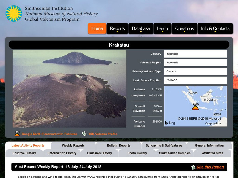
National Museum of Natural History: Global Volcanism Program: Krakatau
The volcano Krakatau is in Indonesia. Learn about its background information, description, frequently asked questions, items of interest and useful links.


