US Geological Survey
U.s. Geological Survey: Groundwater Information by Topic
A massive amount of information about groundwater. Topics covered include groundwater basics, humans and groundwater, groundwater quality, and its place in the water cycle. Includes true-and-false quiz and a Q&A section, as well as a...
US Geological Survey
Usgs: Water Science Glossary of Terms
The United States Geological Survey offers a complete look at water science in glossary form. Take advantage of the topic guides at the top of the site. You'll find great maps, clipart and activities centers. Click Home to access the...
US Geological Survey
U.s. Geological Survey: What Is the Water Cycle?
A quick summary of the water cycle that includes a diagram of the cycle, with links to in-depth explanations of each component of the cycle. Click "water-cycle home" to access water-cycle resources in a variety of languages.
US Geological Survey
Usgs: Production of Specific u.s. Gemstones
Photos of the principal gemstones produced in the United States, including an introduction to historical and other background information for each one.
US Geological Survey
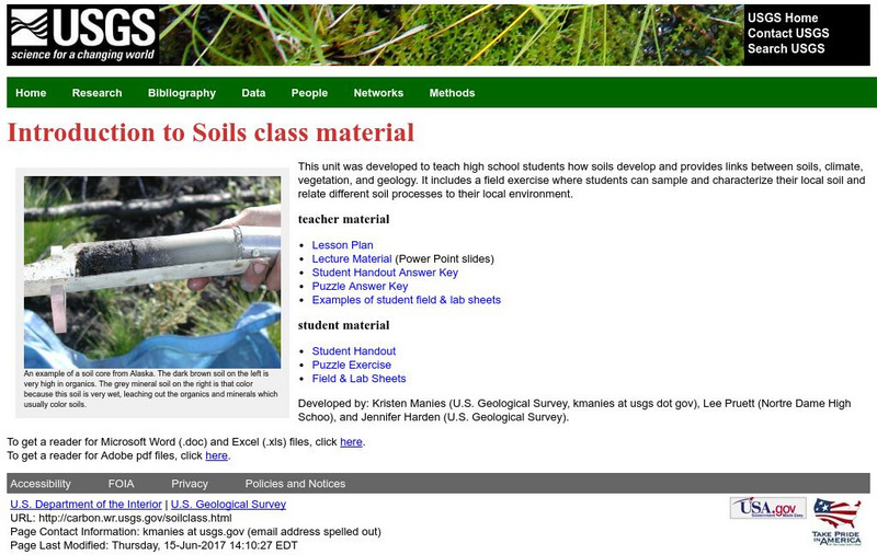
U.s. Geological Survey: Introduction to Soils
This unit teaches students how soils develop and provides links between soils, climate, vegetation, and geology. It includes a field exercise where students can sample and characterize their local soil and relate different soil processes...
US Geological Survey
U.s. Geological Survey: Gemstones
Publication explores specific gemstones and the U.S. states where they are produced.
US Geological Survey
Usgs: Vermiculite
Information and statistics on the mineral vermiculite are presented by the USGS. Domestic production, sources, and substitutes are discussed in detail.
US Geological Survey
U.s. Geological Survey: The National Map: 125 Years of Topographic Mapping
Website offers a history of the National Program for Topographic Mapping (1884-2009).
US Geological Survey
U.s. Geological Survey: Earthquakes for Kids
Comprehensive information on earthquakes. Includes photos from famous earthquakes, ask-an-expert feature, earthquake science, history of major earthquakes, a pictorial ABC, adults' guides for dealing with children's emotions, animations...
US Geological Survey
U.s. Geological Survey: Listening to Earthquakes
Listen to various different types of earthquakes, and compare the sounds of various earthquake events.
US Geological Survey
U.s. Geological Survey: Earthquakes
This resource provides information about earthquakes, including how they are measured.
US Geological Survey
U.s. Geological Survey:the Water Cycle for Kids and Students: Advanced Students
Hyperlinked diagram provides an in-depth explanation of each phase of the Earth's water cycle.
US Geological Survey
Us Geological Survey: Water Science School: Sinkholes
What is a sinkhole? Where are they found? What causes them? This text based article will provide the answer to these questions, and more!
US Geological Survey
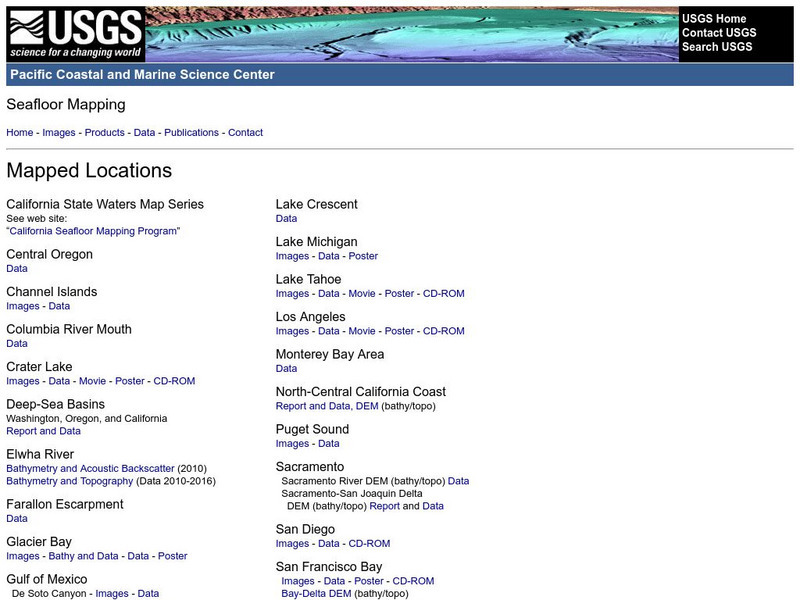
Usgs: Pacific Seafloor Mapping Project
This site describes the details of a project to map the seafloor of the Pacific Ocean. Includes images, movies, links to related information, and more.
US Geological Survey
U.s. Geological Survey: Real Time Earthquake Map
An interactive, real-time map showing current earthquakes happening all over the world. Students may choose options for which earthquakes to display by age, depth, magnitude, or intensity.
US Geological Survey
U.s. Geological: Cascade Range Volcanoes and Volcanics
This site, which is provided for by the U.S. Geological Survey, describes the volcanoes in the Cascades.
US Geological Survey
U.s. Geological Survey: Teaching About and Using Coordinate Systems [Pdf]
Provides lessons and activities for teaching about the different types of coordinate systems including the Cartesian coordinate system, the Geographic Coordinate System, the Universal Transverse Mercator grid, and the State Plane...
US Geological Survey
U.s. Geological Suvrvey: Gold
General information about the consumption and mining of gold.
US Geological Survey
U.s. Geological Survey: Graded Bedding [Pdf]
This activity introduces students to the concept of sorting materials in different mediums and the sedimentary feature called graded bedding. Students will discover that water is a good medium to separate and sort particles and that...
US Geological Survey
U.s. Geological Survey: Landslide Types and Processes [Pdf]
The information in this publication provides an introductory primer on understanding basic scientific facts about landslides-the different types of landslides, how they are initiated, and some basic information about how they can begin...
US Geological Survey
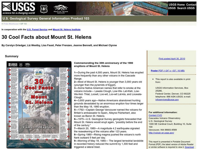
U.s. Geological Survey: 30 Cool Facts About Mount St. Helens
30 fun facts are presented to commemorate the 30th anniversary of the 1980 eruptions of Mount St. Helens.
US Geological Survey
U.s. Geological Survey: What Is Ground Water?
This report from the U.S. Geological Survey uses illustrations to show how water moves through an aquifier and also how water is obtained from the ground.
US Geological Survey
U.s. Geological Survey: Floods and Flood Plains
This site provides a detailed report on floods and flood plains. Facts about weather patterns, zoning restrictions, and dams and levees are given along with diagrams and photos.
US Geological Survey
U.s. Geological Survey: The "1 Oo Year Flood"
Fact sheet uses graphs to highlight streamflow data collected after major floods.


![U.s. Geological Survey: Landslide Types and Processes [Pdf] Handout U.s. Geological Survey: Landslide Types and Processes [Pdf] Handout](https://content.lessonplanet.com/knovation/original/103409-351e576f9cca56d4582135410961fcec.jpg?1661803269)


