US Geological Survey
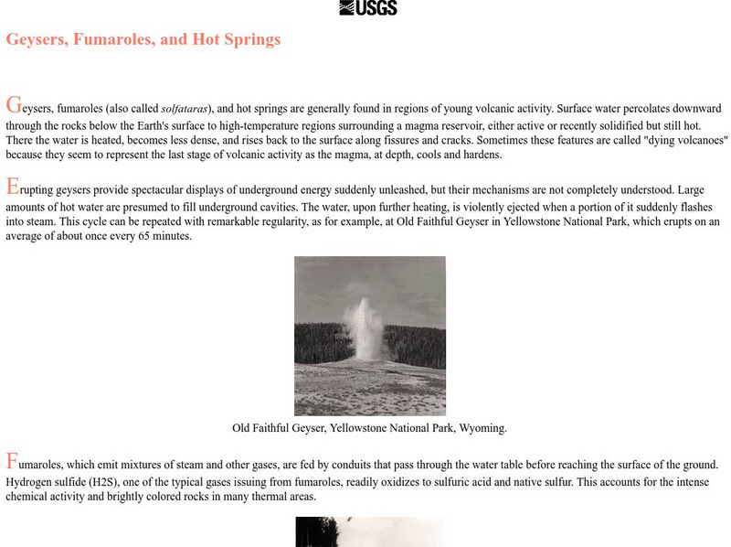
Usgs: Geysers, Fumaroles, and Hot Springs
Describes where hot springs are usually located and why, and describes the discharge of hot springs. Also includes information on geysers and fumoroles (steam vents).
US Geological Survey
Usgs: Bathymetry of the Marshall Islands
This map details the area around the Marshall Island seamounts. Seamounts are one of many features that are found in conjunction with abyssal plains.
US Geological Survey
U.s. Geological Survey: Building Stones of Our Nation's Capital
Pictures and text describe the source and appearance of many of the stones used in the buildings and monuments in Washington, D.C. Included are a geologic time chart and an illustrated map of the geologic and geographic features of the...
US Geological Survey
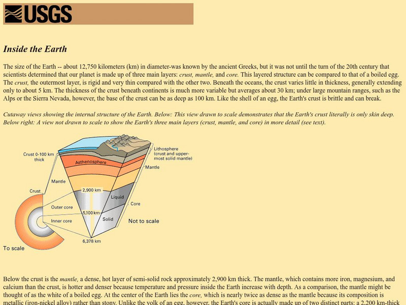
Usgs: Inside the Earth
This is a website to learn not only about the inner and outer core, but also about the crust and the mantle of the interior of the earth.
US Geological Survey
Mercury in the Geochemical Cycle
Mercury in the geochemical cycle ultimately affects the food chain. Learn about this and its effect on the Everglades.
US Geological Survey
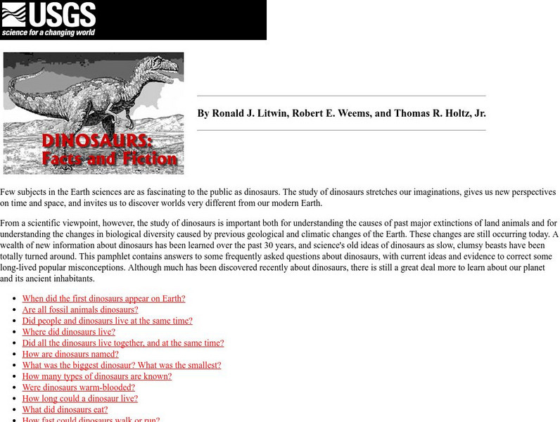
Usgs: Dinosaurs: Fact and Fiction
A comprehensive series of pages that answers a number of commonly asked questions about dinosaurs.
US Geological Survey
U.s. Geological Survey: Gold
Heinrich Schliemann is briefly mentioned as part of a larger discussion about the geology of gold. A brief history of the precious metal refers to the gravesites discovered by Schliemann at the ancient city of Mycenae in Greece.
US Geological Survey
U.s. Geological Survey: Make a Birdhouse
Illustrated, step-by-step directions on how to build a birdhouse for a bluebird or other similar species.
US Geological Survey
U.s. Geological Survey: Save Animal Tracks as Plaster Casts
Engage students in the outdoors by searching for fresh animal tracks and making molds of them. Then investigate which animal might have been there.
US Geological Survey
Usgs Kids: Mealworm Ranch
A fun, hands-on project that will allow your students see first-hand how metamorphosis works. Students observe mealworms develop and change right before their eyes.
US Geological Survey
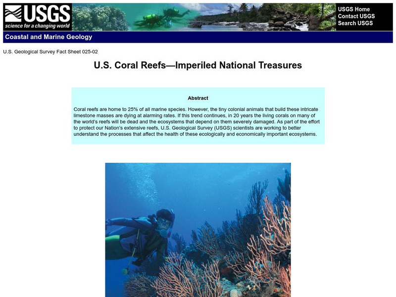
Usgs: Imperiled National Treasures: u.s. Coral Reefs
Efforts to protect and conserve coral reefs located in territories of the United States fall into the hands of the USGS. Scientists are working diligently to understand the marine ecosystems so as to determine the exact reasons many are...
US Geological Survey
U.s. Geological Survey: Magnitude 9.0 Near the East Coast of Honshu, Japan
Facts and figures on the earthquake and tsunami in Japan in March, 2011. Be sure to click on the tabs across the top that provide: summary, maps, scientific and technical information, as well as information on the tsunami.
US Geological Survey
Usgs: The Effects of Acid Rain
Geology and chemistry of acid rain effects. Lots of building and monument pictures showing acid rain damage. Be sure to follow the "next" link at bottom of each page.
US Geological Survey
U.s. Geological Survey Home Page: Acid Rain
Learn about acid rain and the devasting effects it has on the U.S., particularly on our nation's capital and monuments.
US Geological Survey
Geologic Provinces of the United States: Rocky Mountains
The Rocky Mountains are unique among mountain ranges because they are found so far from a coastline. Explore the ideas geologists are proposing to explain the formation of this mountain range.
US Geological Survey
U.s. Geological Survey: Prospecting for Gold in the United States
This informative site delves into the difficulty of prospecting for gold. A detailed description of placer deposits and lode gold is included in this site.
US Geological Survey
Usgs: Effects of Human Activities
This site reviews the effects of agricultural development, urban and industrial development, drainage of the land surface, modifications to river valleys, and modifications to the atmosphere have on ground water and surface water.
US Geological Survey
Usgs: Fossils and Rocks
Part of an online publication offered by the U.S. Geological Survey, this articles sheds light on how studying fossils became an important part of understanding geologic time.
US Geological Survey
U.s. Geological Survey: Geology of the National Parks
Access, from one index page, to three-dimensional photographs of all U.S. national parks. Standard photographic images and tours and selected geological resources (e.g., stratigraphic maps) for each park can also be linked to from this...
US Geological Survey
U.s. Geological Survey: Limestone and Marble
An explanation of the differences between limestone and marble, including some excellent pictures.
US Geological Survey
National Wildlife Health Center: Chronic Wasting Disease
NWHC offers a brief history of Chronic Wasting Disease (CWD), followed by consideration of what the recent spread of the disease to relatively densely populated white-tailed deer in the US Midwest may mean.
US Geological Survey
U.s. Geological Survey: Earthquakes: Liquefaction
Maps and images that show liquefaction, the process by which water-filled sediment loses strength and acts like a fluid.
US Geological Survey
Geological Survey: Activities in Alabama
This resource presents current information regarding the US Geological Survey activities in Alabama.
US Geological Survey
U.s. Geological Survey: Rock'n on Shakey Ground [Pdf]
The basics of earthquake science including factual information about how and why they happen. Also includes some hands-on activities and experiments for students.


