US Geological Survey
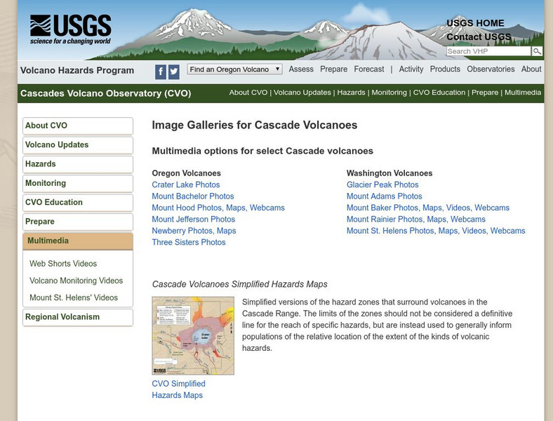
Usgs: Cascade Range Volcanoes
At this site from USGS you can view pictures and resources on the volcanoes located in the Cascade Mountain Range. Experience their beauty and splendor as you learn more about these volcanic mountains.
US Geological Survey
Usgs: Hydroelectric Power: How It Works
Check out this animated site of a hydroelectric generator. There is a picture of a real generator along with a description of how it works.
US Geological Survey
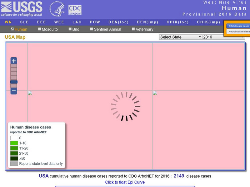
U.s. Geological Survey: Education: Disease Maps
Disease maps that trace the incidence of West Nile virus, encephalitis and dengue fever across the United States and its territories demonstrate one of the many uses of geography.
US Geological Survey
Earth's Water: Rivers and Streams
The USGS explains the definition of a river and how a river is supplied with water. Included is a cross section of a river. Click Home to access the site in Spanish.
US Geological Survey
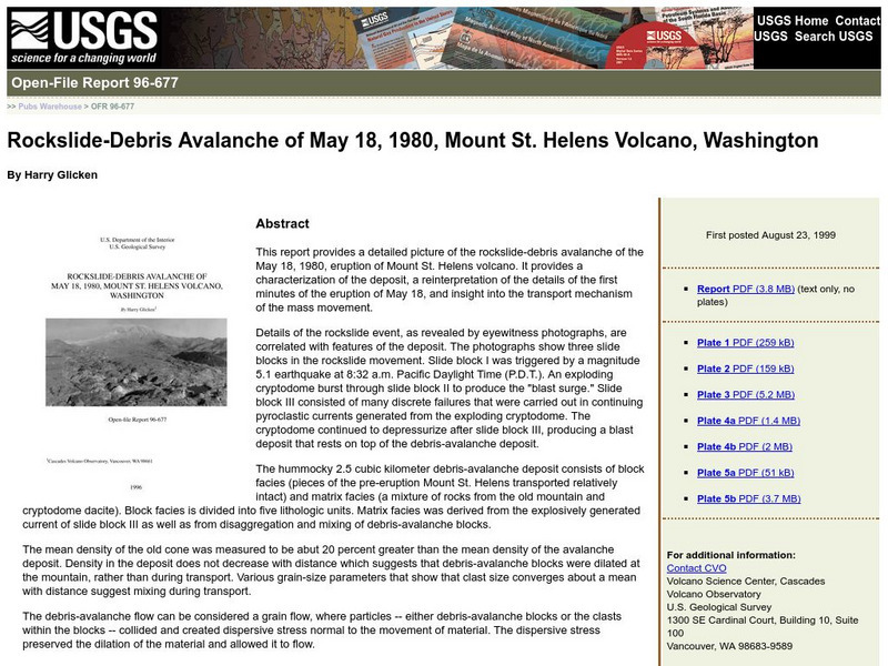
Usgs: Rockslide Debris Avalanche of May 18, 1980
Provides information on the rockslide that occurred at Mount St. Helens on May 18, 1980. Site is in outline form.
US Geological Survey
Us Geological Survey: Hawaiian Volcanoes
This site from the US Geological Survey provides general information about the Hawaiian volcanoes.
US Geological Survey
United States Geological Survey: Kilauea Volcano
These time lapse movies of Kilauea are hosted by the Hawaiian Volcano Observatory. This resource also includes a webcam which provides near real time footage of two active volcanoes.
US Geological Survey
Usgs: Volcano Cams Around the World
Through the wizardry of online cams, you can view major volcanos around the world.
US Geological Survey
Usgs: Common Water Measurements
This site from the U.S. Geological Survey provides great definitions of seven measurements that can be taken on water. Includes pH, dissolved oxygen, and turbidity. Click Home to access the site in Spanish.
US Geological Survey
Usgs: Earth's Water: Lakes and Reservoirs
The USGS reviews the differences between lakes and reservoirs. They discuss the history of freshwater and salt water lakes. Click Home to access the site in Spanish.
US Geological Survey
U.s. Geological Survey: Rain
At this site from the U.S. Geological Survey you can find out what makes rain such a valuable resource. Included is a chart that tells how much rain different cities in the United States receive. Click Home to access the site in Spanish.
US Geological Survey
Water Properties
This site provides a discussion of the physical properties of water. Click Home to access the site in Spanish.
US Geological Survey
Usgs: November 29, 1975 Kalapana
Describes details of the earthquake of November 29, 1975 Kalapana in Hawaii, the tsunami, and the eruption of the volcano Kilauea as a result of the earthquake.
US Geological Survey
Us Geological Survey: How Hawaiian Volcanoes Work
This page from the US Geological Survey has several links to pages that explain the formation of volcanoes. These links will also explain the creation of new land and other hazards.
US Geological Survey
U.s. Geological Survey: Life of a Tsunami
Animations illustrating long-lasting tsunami waves once they strike a coast.
US Geological Survey
U.s. Geological Survey: Cesium
This site from the U.S. Geological Survey provides a nice summary of cesium from the viewpoint of a geologist or mineralogist.
US Geological Survey
Cvo: Magma, Lava, and Lava Flows
Site delves into magma, lava and lava flows. Provides numerous links for additional references.
US Geological Survey
Us Geological Survey/ Historic Eruptions
Tambora of Indonesia had one of the deadliest eruptions since 1500. You will learn about the volcano and you can link to other related items.
US Geological Survey
Usgs: Volcanic Hazards, Features, and Phenomena
Site from the U.S. Geological Survey provides a brief list of volcano terminology including descriptions as well as links to major menus.
US Geological Survey
Us Geological Survey:stream Gaging and Flood Forecasting [Pdf]
The U.S. Geological Survey and the National Weather Service work together to provide information at this site about floods. The site talks about two main topics on floods, stream gaging and flood forecasting.
US Geological Survey
Usgs: Guidelines for Writing Hydrologic Reports [Pdf]
A very informative site, which is provided for by the U.S. Geological Survey, on how to write hydrologicic reports.
US Geological Survey
Usgs: Geologic Maps
This site has a good description of what this particular type of map represents. It also explains the colors and letter symbols, faults, and strike and dips.
US Geological Survey
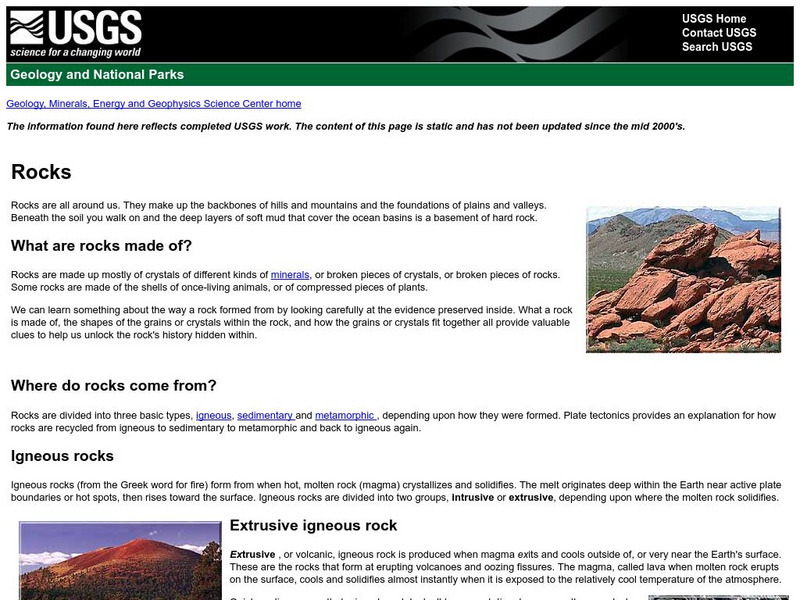
U.s. Geologic Survey: Rocks
What are rocks made of? Where do rocks come from? What is an igneous rock? These are just some of the questions answered by the scientists of the U.S. Geologic Survey.
US Geological Survey
Usgs: Mount Baker Volcano, Washington
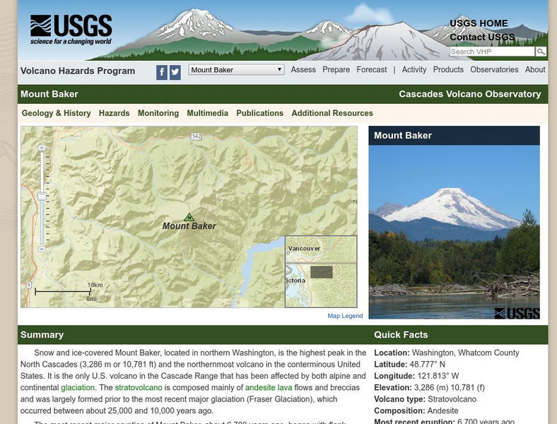
Provides detailed information on Mount Baker as well as information on glaciers, hydrology, lakes and drainages and other points of interest.


