Curated OER
Utah Becomes a State—1890
Students read about and discuss the geography and statehood of Utah. In this Homestead Act lesson, students read the Homestead Act and discuss its effects. Students analyze a precipitation map and work in pairs to answer discussion...
Curated OER
Utah History & Geography
Fourth graders calculate and determine the distances between counties in Utah. Using a map of Utah, they determine the distance between three county seats, the total distance round trip, and label a map with the distances.
Agriculture in the Classroom
National Agriculture in the Classroom: A Look at Utah Agriculture [Pdf]
Get facts about Utah's agricultural industry and its climate, soil, crops, and animals.
Utah Education Network
Uen: Utah History Encyclopedia: Physical Geography of Utah
This resource provides information on the physical geography of the state.
Utah Education Network
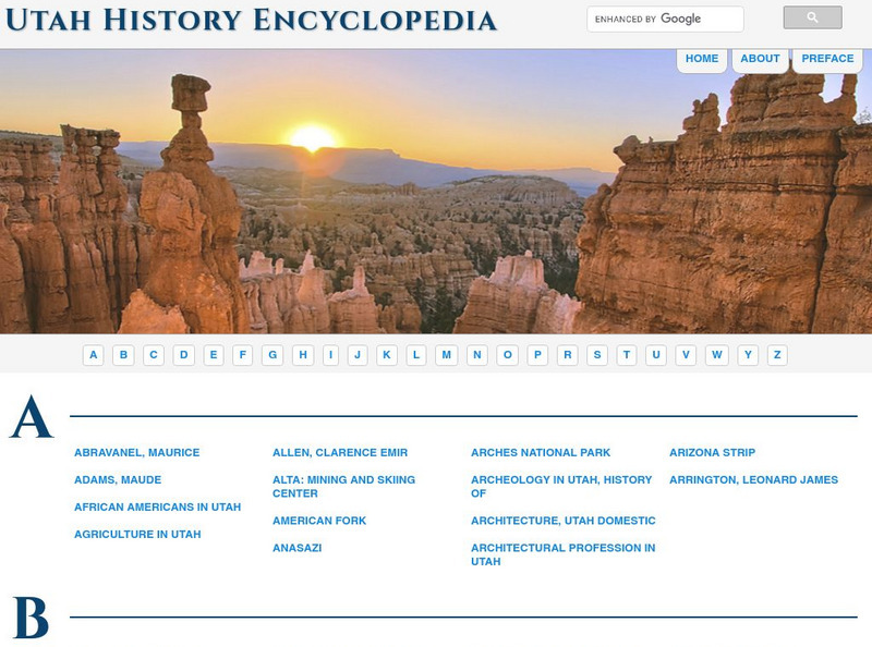
Uen: Utah History Encyclopedia
This is a resource about the state of Utah. Includes images and articles on everything from geology to famous people in the state.
Johns Hopkins University
The Johns Hopkins University: Utah State Maps
At this site from The Johns Hopkins University Applied Physics Laboratory, you can learn more about Utah through these different types of maps. This site contains a black and white map, a county map, a satellite image map, a shaded...
Cayuse Canyon
The Us50: Utah
Provides comprehensive information regarding Utah history, famous people, cities, geography, state parks, tourism, and historic sites. A fact sheet of information and a quiz are also available.
NSTATE
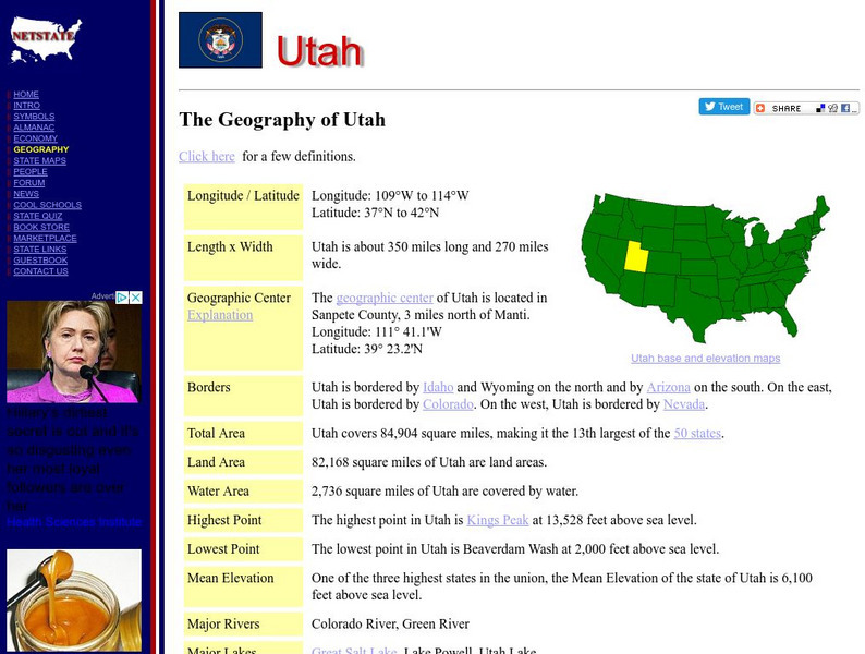
Net State: The Geography of Utah
Here you will find a variety of cool facts about the geography of the state of Utah. Find out the geographic center, total area, elevations and much more.


![National Agriculture in the Classroom: A Look at Utah Agriculture [Pdf] Handout National Agriculture in the Classroom: A Look at Utah Agriculture [Pdf] Handout](https://d15y2dacu3jp90.cloudfront.net/images/attachment_defaults/resource/large/FPO-knovation.png)


