Scholastic
Study Jams! Landforms
First-class photographs dazzle your class as they are acquainted with Earth's various landforms. To reinforce learning, they can take a multiple-choice quiz, sing along to a karaoke song, or review key vocabulary terms, all on this...
Curated OER
Geographic Landforms
Each slide is a simple notebook page with one landform in blue and its definition in red. There are 26 vocabulary terms in all, some you may want to use, and others easily hidden. It is recommended that you add photos or other graphic...
Curated OER
Tracing Highs and Lows in San Francisco
On a topographic map, students identify the scale bar, north arrow, and contour interval. They then locate a hill on the map and make note of the contour lines. Students then locate other places with similar contour line patterns....
Curated OER
Glaciers
In this glaciers worksheet, students complete 12 different questions related to glaciers. First, they complete the 2 tables that illustrate the similarities and differences between continental and valley glaciers. Then, students identify...
Curated OER
Erosion
For this earth science worksheet, students describe the course of the river from its source to the mouth, including shapes of the valleys and erosion processes in each course. Then they identify possible types of erosion that would have...
Curated OER
Landscape Picture Map: Natural Features
Students discover six landscapes. In this natural features lesson, students review the meaning and examples of natural features. Students use a landscape picture map to identify six natural features.
Curated OER
The Geography of American Communities
Young scholars, in groups, describe the geography of Los Angeles using information from local places and street names.
Curated OER
Geology of Waipi'o Valley
Students predict how the Big Island and Waipi'o Valley formed and write an essay that includes their predictions. They research online to find the real way it formed and experiment with sand to show how a stream develops.
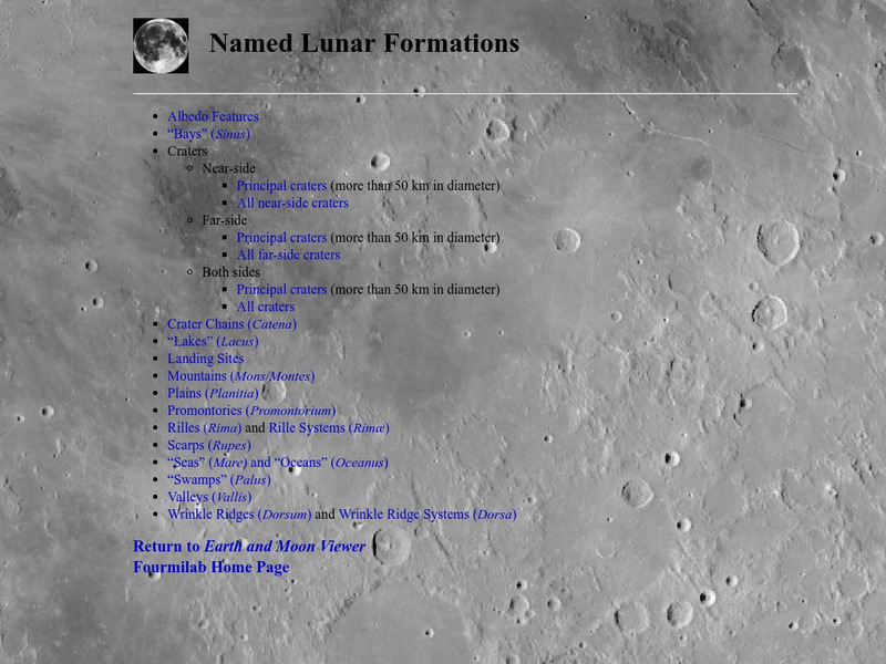
Fourmilab Switzerland
John Walker: Named Lunar Formations
This atlas of the Lunar surface features lists all named features. Click on a name and see an image of that item, or at least an image of the Moon centered on that item.
Curated OER
National Park Service: Varying Valleys
The NPS offers a good description of the three main types of valleys, lesson objectives, and modeling activities.
Curated OER
National Park Service: Grand Canyon Geology
Extensive information about the geology of the Grand Canyon. Looks at some principles of geology evident there, forces that have shaped its geological features, how its valleys and canyons were formed, the characteristics of the Colorado...
Council for Economic Education
Econ Ed Link: Hawaiian Economics: From Mountains to Sea
This economics lesson plan integrates the history of the Hawaiian people with geography, natural resources, good and services and more. "In this lesson, we will learn how Hawaiians shared their island resources long ago."
eSchool Today
E School Today: Landforms
Understand the formation and geology of different landforms around the Earth.
Math Science Nucleus
Math/science Nucleus: Observing Different Landforms
Lesson plan with subsequent pages to use with the instructional activity. Images with landform word match up and additional work on earth modeling.
Other
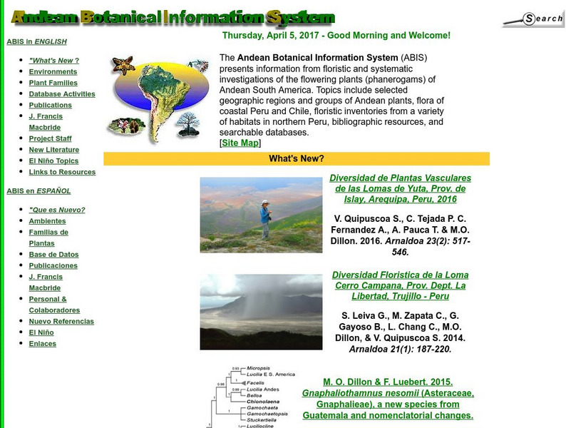
Andean Botanical Information System
Great research from the Andean Botanical Information System into the diverse environments and plants of the Andean region of South America, and particularly Chile and Peru. Available in Spanish or English, photographs and written...
Other
Ibm: Biometrics
This site from IBM provides a simple introduction to the field of biometrics and includes descriptions with examples for several personal identification and recognition systems (e.g., fingerprints, hand geometry).
Science Struck
Science Struck: Landforms in Tropical Rainforests
Describes five types of landforms found in a tropical rainforest.
Other
Maps & Globes: Other Land Forms
A very simple overview of various land forms and their characteristics: peninsula, cape, isthmus, valley, canyon, cliff, and swamp.


