Curated OER
Global Conflict: Kashmir
Young scholars analyze different maps of the region. They create a timeline of the area in dispute, focusing on the creation of Pakistan, Indi and Kashmir and previous conflicts between Pakistan and India over Kashmir. Students construct...
Curated OER
Africa Political Map
In this blank outline map worksheet, middle schoolers explore the political boundaries of the continent of Africa, the countries located there, and label other geographic features.
Curated OER
The Sands of Arabia
Sixth graders apply geographic information to the study of World History. For this Geography lesson, 6th graders create a political/physical map of the Middle East, develop questions and answers about the culture of the Middle...
Curated OER
Africa: Political Map
Students create a political map for Africa. In this country identification instructional activity, students locate Africa on a globe and discuss some of its major countries and bodies of water. Students complete a political...
Curated OER
South Asia: Political Map
In this South Asia outline map worksheet, students & examine boundaries of each of the countries in the region. This map is labeled with the country and capital city names.
Curated OER
U.S. Political Map
In this political map worksheet, learners use the map of the United States and the 7 cities to measure the straight-line distance between the cities. Students add the total number of miles traveled and write their answers in the spaces.
Curated OER
United States Regions
For this United States political map worksheet, students examine regional census boundaries of the US. State boundaries are also included.
Curated OER
United States Map
In this United States political map worksheet, students examine national and state boundaries. The map also highlights the location of each of the state capitals and the national capital.
Curated OER
USA Capitals Map
In this United States political map worksheet, students examine state boundaries and locations of each of the state capitals.
Curated OER
World Political Map
In this blank outline map instructional activity, students note the political boundaries of the nations of the world on a Mercator projection map.
Curated OER
States: United States Map
In this United States political map worksheet, students examine state boundaries. The map is labeled with the names of each of the 50 states.
Curated OER
Food Detectives
Students investigate the regions in which particular grains are grown. Using the packaging from a variety of foods, grains are identified and the general locations where they are grown are plotted on a map.
University of California
Us Geological Survey: Cartogram Central
The USGS offers detailed information on Types of Cartograms, Congressional Districts, Software for Cartograms, Publications, and a Carto-Gallery.
Lizard Point Quizzes
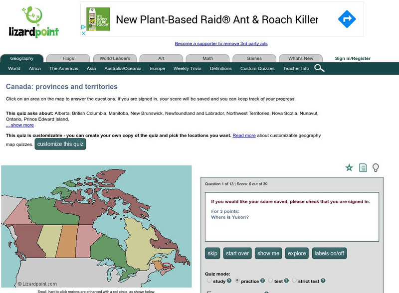
Lizard Point: Test Your Geography Knowledge Canada
Use this site to test your students, and your knowledge regarding the location of the provinces and territories of Canada.
Latimer Clarke Corporation
Atlapedia Online
This site provides both physical and political maps of countries of the world in full color. Also contains key facts and statistics.
Latimer Clarke Corporation
Atlapedia Online: Map Index
This website has a political and a physical map index.
US Geological Survey
Usgs: Finding Your Way With Map and Compass
This resource has a topographic map that tells you where things are and how to get to them. Use this site to help you use a map and compass to determine your location.
Other
Georgia Maps
This site allows the user to select various maps of Georgia. Such maps include Physical, Demographic, Political, Historical, and others.
Latimer Clarke Corporation
Atlapedia Online: Political Map of China, Mongolia, Hong Kong, Macau
A great map of China and surrounding countries, with locations of major cities and bodies of water. Below map are links to general information on China and other countries.
ClassFlow
Class Flow: Map Tasia
[Free Registration/Login Required] This flipchart allows students to explore 3 basic types of maps, physical, political, and historical. Characteristics of each are discussed and web links to additional examples are given. A short quiz...
Mocomi & Anibrain Digital Technologies
Mocomi: Types of Maps
Details on the different types of maps, scale, and symbols.


