US Geological Survey
U.s. Geological Survey: 27 Ideas for Teaching With Topographic Maps
A collection of twenty-seven activities that can be done with topographic maps, for elementary up to university level students. Includes many accompanying resources.
University of Texas at Austin
The Perry Castaneda Library Map Collection
This collection contains more than 250,000 maps covering all areas of the world, and ranging from political and shaded relief maps to the detailed and the historical. Select from a region of the world or an area of highlighted interest.
Library of Virginia
Virginia Memory: My County Tis of Thee: Counties of Virginia
A lesson in how to use historical maps to identify Virginia's counties and learn the political geography of Virginia.
C3 Teachers
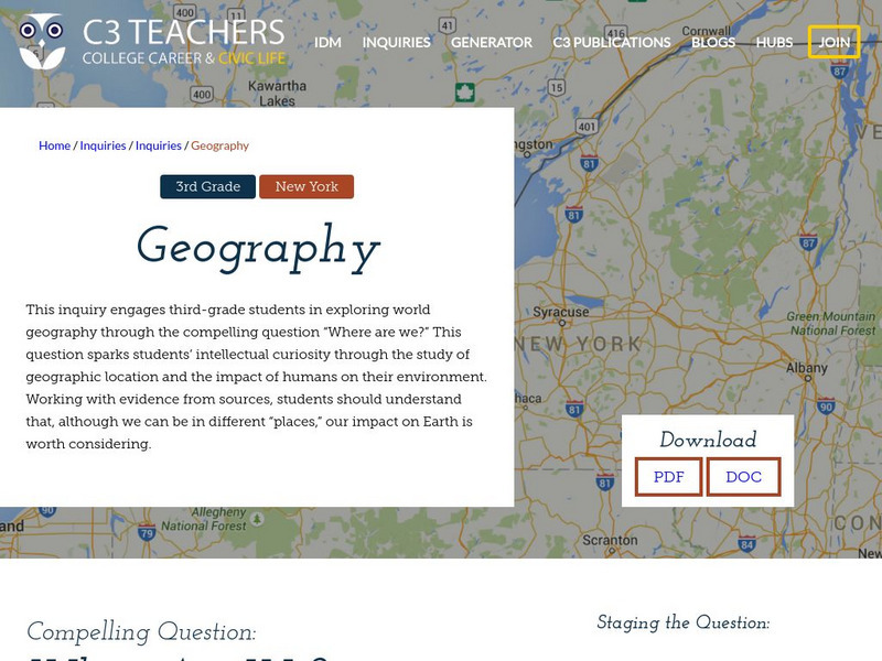
C3 Teachers: Inquiries: Geography
A learning module on world geography. It includes several supporting questions accompanied by formative tasks and source materials, followed by a summative performance task. Students investigate where their community is located, where...
C3 Teachers
C3 Teachers: Inquiries: Maps and Geography
A comprehensive learning module on maps that includes three supporting questions accompanied by formative tasks and source materials, followed by a summative performance task. Students learn about map symbols, cardinal directions, and...
Other
Edte.ch: Maths Maps
Maths Maps is a collaborative project where participants use Google maps to choose a location within one of the cities highlighted, then create a Math problem about the site. The problems are marked on the map with various colors...
Other
California State University: Topographic Map Symbols
Click on any of the geographical terms on this website to see examples that illustrate the symbols commonly used on maps. Includes boundaries, building symbols, caves, mines, elevation symbols, coastal features, and more.
The Newberry Library
Newberry Library: Historic Maps in K 12 Classrooms
Great resource for teachers of geography and American history for all levels. You will find lesson plans based on the use of maps for all ages.
US Navy
Navigation
[Archived Content] Interactive site where students can learn about navigation techniques through various learning activities.
National Geographic
National Geographic: Comparing Historical Maps
Consider the changes that occur in towns, cities, countries through viewing maps from hundreds of years ago and modern day.
Utah Education Network
Uen: Mapping It Out
Learn about Utah's environments, temperature, elevation, and rainfall.
PBS
Pbs Wisconsin Education: Into the Map
In this learning module, students will explore the world of geography by creating and analyzing maps.
PBS
Pbs Learning Media: Lost in Greasy World
Children use spatial skills to put together a map that has been broken up into pieces. This activity will help them understand spatial sense and practice using a map.
PBS
Pbs Kids Afterschool Adventure!: Operation: Lost and Found Activity Plan
Gorillas, groceries, pirate treasure, and aardvark homes: these are just a few of the things children will search for and find in this week's Afterschool Adventure, Lost and Found. Children will use position words like above, below, and...
Library of Congress
Loc: Teachers: Local History: Mapping My Spot in History
Through interpreting and investigating historical maps, students gain new perspective not only of their local communities but also of their own homes. Student activities include collecting data about their homes, reporting on the...
HotChalk
Hot Chalk: Lesson Plans Page: Birdseye View, Mapping
Lesson that helps students understand that maps show a "birds-eye view" of a place. Students stand above a teacher-made model and discuss how the objects in the model looked from above. Then students draw objects from a birds-eye view,...
Math Science Nucleus
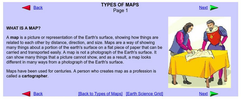
What Is a Map?
Do you want to know what a map is? If you look here, you will find why we have them and their uses.
Harvard University
Harvard University: Maps and Mapping
This site is provided for by Harvard University. Students follow a map on a scavenger hunt, create a map of their classroom and their town, learn how to read topographic maps, and discover latitude and longitude in these inquiry activities.
Other
Richard Phillips: Making Maps Easy to Read
This geography research project surveys factors that make maps easy to read and to use.
US Geological Survey
Usgs: Finding Your Way With Map and Compass
This resource has a topographic map that tells you where things are and how to get to them. Use this site to help you use a map and compass to determine your location.
Tom Richey
Tom Richey: Power Point: Geography of Ancient Egypt
Thirteen-slide PowerPoint presentation on the geography of Ancient Egypt. Slides contain photos, maps and instructional information. [Requires download.]
Enchanted Learning
Enchanted Learning: Map Reading Activity #1
At this site from Enchanted Learning, students can use this printable worksheet and then follow the directions given and practice their map reading skills.


