Curated OER
At the Edge of the Continent
Students study how to interpret a bathymetric map. They study the main features of the continental margin. They plot and graph bathymetric data. They think about and discuss the bathymetry of the edge of the cont
Curated OER
Sonar Mapping
Learners use a shoe box to create a seafloor model and use cardboard for layering inside of the shoe box to simulate the ocean floor. They probe the ocean floor to simulate sonar echoes. Finally, students graph their data to get a...
Curated OER
The Third Location and Millennium Wall Exercise
In this third location and millennium wall exercise worksheet, students sketch the fossil in a given diagram. Students use their imagination to sketch what the animal may have looked when it was alive.
Georgia Department of Education
Ga Virtual Learning: Geological Oceanography
This unit will focus on the geological characteristics of the world ocean, plate tectonics, and the mapping of the ocean floor.
American Museum of Natural History
American Museum of Natural History: O Logy: Journey to Deep Sea Vents
Take a submersible down to the seafloor. As you descend, passing through the ocean's sunlight, twilight, and midnight zones, you can observe how temperature, pressure, and light levels change. When your submersible reaches the seafloor,...
Woods Hole Oceanographic Institution
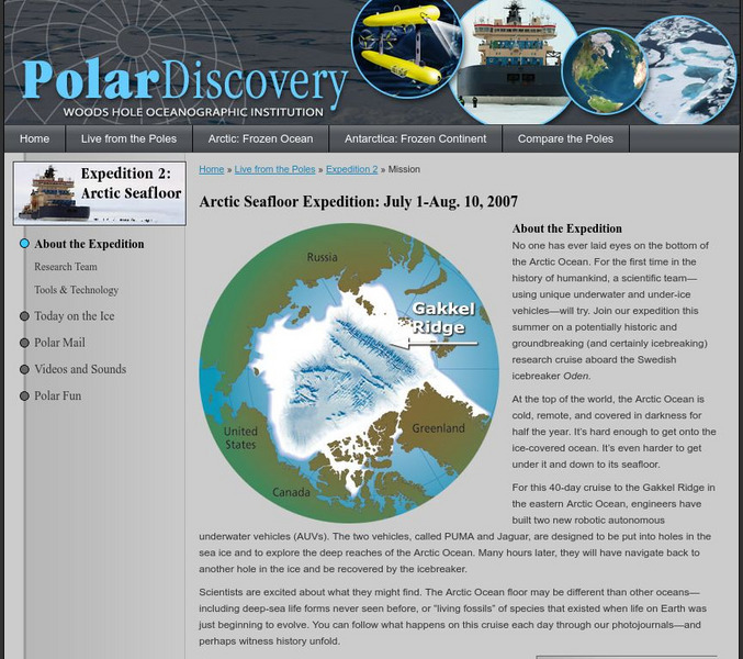
Polar Discovery: Arctic Seafloor Expedition: July 1 Aug. 10, 2007
This polar expedition to study the Arctic seafloor took place in 2007, but you can still enjoy following the footsteps of these scientists. The goal of the expedition was to see if there were active hydrothermal vents on the ocean...
Society for Science and the Public
Science News for Students: Beneath the Sea
What does it mean to be alive? Scientists are now revisiting this question as they discover previously unknown microorganisms at the bottom of the ocean.
Woods Hole Oceanographic Institution
Woods Hole Oceanographic Institution: Trenches
Explains what ocean trenches are and why they are important. Includes links to videos, additional articles, and information about some deep-ocean submersibles.
American Museum of Natural History
American Museum of Natural History: Find a Vent
Learn all about hydrothermal vents deep in the ocean and how scientists locate them. Then take a virtual expedition to the Juan de Fuca Ridge in the north Pacific and see if you can discover a new deep sea vent.
US Geological Survey
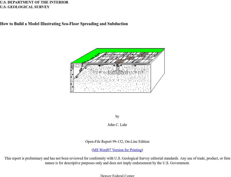
Usgs: How to Build a Model Illustrating Sea Floor Spreading
This is a comprehensive website featuring how to build a model that illustrates sea-floor spreading and subduction. It has diagrams and pictures reviewing major geological concepts.
NASA
Nasa: Dynamic Ocean Topography With Current Arrows
Color-coded image of ocean currents depicts directional flow and speed of the currents across the globe.
NASA
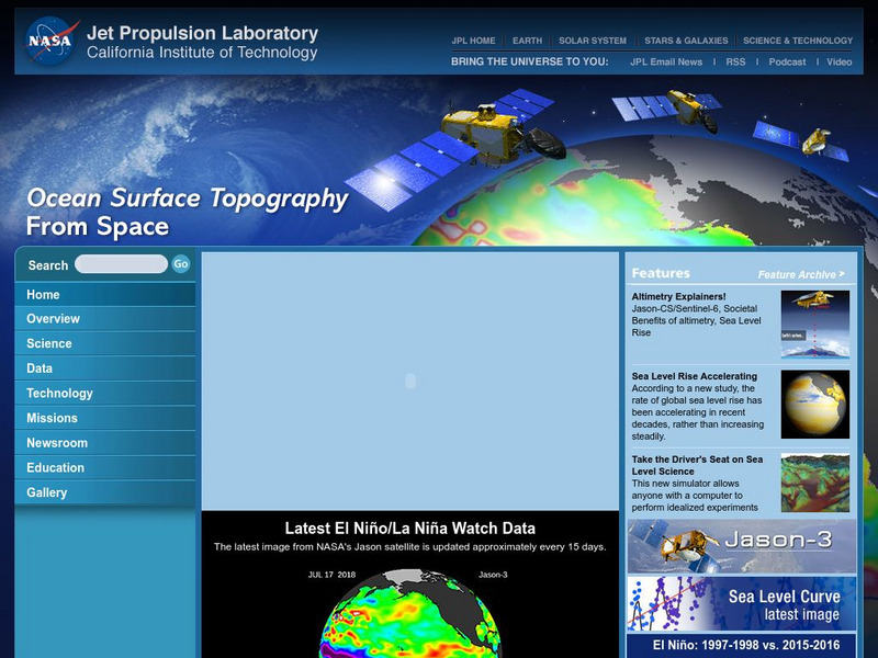
Nasa: Ocean Surface Topography From Space
Find out about ocean surface topography and the many contributing factors that continually shape the oceans and its sea levels.
NOAA
Noaa: Explorations
This resource page contains an exhaustive list of pictures and videos of sea floor structures found all over the world.
NOAA
Noaa: Ocean Explorer: Sea Floor
This resource page has numerous links to pictures and videos of the sea floor. Topics include geologic features, habitats, bacteria mats and hydrates.
American Geosciences Institute
American Geosciences Institute: Earth Science Week: A Bit of Engineering
After researching how scientists drill into the ocean floor to retrieve core samples, students work in small groups to simulate the process in the classroom and report on their findings.
Institute of Marine Science
Forsea: If I Can't See It, How Do I Know It's There?
A diagram showing features of the seafloor and a laboratory experiment involving a model of the seafloor highlight this site. This is a good resource for teachers as well.
Science Education Resource Center at Carleton College
Serc: Exploring Seafloor Topography
Users learn to generate and interpret graphs that show seafloor depth versus distance by using the GeoMapApp.
Science Education Resource Center at Carleton College
Serc: Fathoms, Ship Logs, and the Atlantic Ocean
Middle schoolers use data from ship logs to graph a profile of the Atlantic Ocean. They will rely on prior knowledge of seafloor topography, instructions on how to read a bathymetric map, and observe a demonstration where the depth of...
Scholastic
Scholastic: Study Jams! Science: The Ocean Floor
A slideshow and a short multiple-choice quiz on the topic of the ocean floor.
TED Talks
Ted: Ted Ed: On Exploring the Oceans
Ocean explorer Robert Ballard takes us on a mindbending trip to hidden worlds underwater, where he and other researchers are finding unexpected life, resources, and even new mountains. He makes a case for serious exploration and mapping....
TED Talks
Ted: Ted Ed: How Much of Human History Is on the Bottom of the Ocean?
Sunken relics, ghostly shipwrecks, and lost cities aren't just wonders found in fictional adventures. Beneath the ocean's surface, there are ruins where people once roamed and shipwrecks loaded with artifacts from another time. Peter...
US Geological Survey
Usgs: Bathymetry of the Marshall Islands
This map details the area around the Marshall Island seamounts. Seamounts are one of many features that are found in conjunction with abyssal plains.
PBS
Pbs News Hour: Gardens of Eden
An interview with William Broad, author of "The Universe Below". ONLINE News Hour discusses with William Broad the discoveries that have been made on the ocean floor.
Science Education Resource Center at Carleton College
Serc: Fire and Ice: Volcanic and Glacial Features on Land and Seafloor
Learners learn about glacial and volcanic features by examining and comparing bathymetric and topographic images of the Sand Point area of Alaska.


