CK-12 Foundation
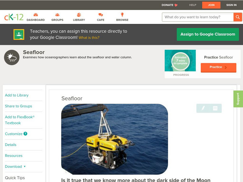
Ck 12: Earth Science: Seafloor
[Free Registration/Login may be required to access all resource tools.] Examines how Earth scientists study the seafloor.
CK-12 Foundation
Ck 12: Earth Science: Seafloor
[Free Registration/Login may be required to access all resource tools.] Examines how Earth scientists study the seafloor.
TeachEngineering
Teach Engineering: Map That Habitat
Historically, sea floor mapping occurred with a more simple data collection method: soundings. Soundings are taken by dropping a weight with a pre-measured rope off the side of the boat and noting the measurement on the rope when the...
American Museum of Natural History
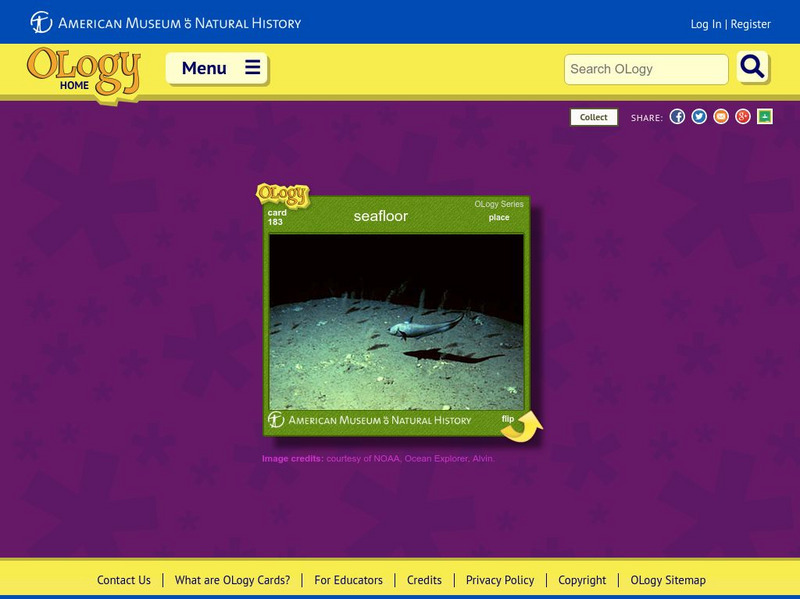
American Museum of Natural History: Seafloor O Logy Card
Learn about the seafloor and the creatures that live there by turning over this interactive OLogy card. Find questions and answers, fast facts, and similar bite-size pieces of information on the subject.
CK-12 Foundation
Ck 12: Plix: Bathymetric Evidence for Seafloor Spreading
[Free Registration/Login Required] A site where students can label the features of the ocean floor such as: mid-ocean ridge, rift, and more. Also on the site is a short quiz about the different topography of the ocean floor.
CK-12 Foundation
Ck 12: Plix: Magnetic Evidence for Seafloor Spreading
[Free Registration/Login Required] A site giving an animation of how the minerals on the seafloor could provide evidence for seafloor spreading. Also included is a short quiz.
Other
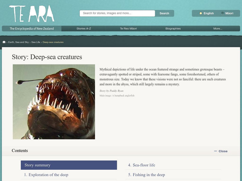
Encyclopedia of New Zealand: Deep Sea Creatures
Learn about the life forms that dwell deep in the ocean which is divided into four zones. These zones have similar life forms around the world.
American Geosciences Institute
American Geosciences Institute: Earth Science Week: Deep Sea Drilling
In this activity, students learn about the JOIDES Resolution, an ocean-drilling vessel. They then use string to estimate the length of the ship and compare their estimates to the real length. They look at how deep the ocean water under...
Science Struck
Science Struck: How Was the Mid Atlantic Ridge Formed?
Learn what the Mid-Atlantic Ridge is, how it was formed in the Triassic Period, the volcanic activity that takes place there, and the benefits and negative impact of this activity.
CK-12 Foundation
Ck 12: Earth Science: Bathymetric Evidence for Seafloor Spreading
[Free Registration/Login may be required to access all resource tools.] Describes features of the seafloor and how they are mapped by echo sounding. It touches upon the continental margin as well.
CK-12 Foundation
Ck 12: Earth Science: Seafloor: Characteristics and Spreading Study Guide
[Free Registration/Login may be required to access all resource tools.] A brief overview of the methods scientists use to study the ocean seafloor and the features that can be found there. Discusses the magnetic polarity of the seafloor...
Alabama Learning Exchange
Alex: Sonar Mapping of the Ocean Floor
Mapping the ocean floor must be done by indirect observation. One method involves bouncing a sonar signal off of the ocean floor and measuring the length of time this signal takes to return. This length can be translated into distance:...
University Corporation for Atmospheric Research
Ucar: What Causes Storm Surge?
Learn about the many factors that impact how much storm surge floods a coast as a hurricane or tropical storm comes ashore.
CK-12 Foundation
Ck 12: Earth Science: Ocean Zones Study Guide
Review the concepts of ocean zones in this study guide.
US Geological Survey
Usgs: Mid Oceanic Ridge
This site from USGS provides a map of the mid-oceanic ridge in the sea floor of oceans.


