Curated OER
What's My Capital?
Young scholars participate in a game about state capitals. They use two piles of cards, one with the capital name and the other with the state name and they match them. They can work together or alone in this lesson.
Curated OER
State Heads
Students create a narrative image that depicts a formal shape of a state. They review the state facts of whatever state they chose. They draw a person and then add text in the shape of the state they chose.
Curated OER
Agriculture
Young scholars examine the types of agriculture in their own state and in their local community. They examine how food makes it to their local grocery store. They compare data from different states.
Curated OER
Making a Region Map of a State
Fourth graders create salt maps of a state and indicate its regions. They include topographical elements including mountains, valleys, lowlands and major water bodies and a compass rose.
Curated OER
Mural Mania
Students create a mural that displays symbols for their home state. They complete worksheets and read a book about their state. They collect images of the state flower, tree and bird for the mural. There are 5 other lesson plans included...
Curated OER
Great Graphs
Students create graphs by tabulating their preferences among 10 state quarters. They examine quarters and tally their favorites. They complete a worksheet. There are more lesson plans included in this unit.
Curated OER
State Comparisons
Young scholars participate in a state comparisons scavenger hunt. They write down how certain states are alike and diferent. They write a paragraph on why they would move to a different state.
Curated OER
United States Geography and Topography
Fifth graders recognize the major regions of the US while reading a map. Students study the physical features of the US. Student research and report on states and their capitols.
Curated OER
Road Trip
Students explore a state, create a travel plan for visiting that state, write postcards from an imaginary trip there, and research selected points of interest in that state.
Curated OER
Geography Golf
Students practice their knowledge of states and capitals while at the same time working on motor skills. This activity also promotes working together in small groups.
Other
Western Washington University: Provinces Not States
A good activity designed to get students thinking about differences between states and provinces. While designed for US students, Canadian students may also find them of use.
NOAA
Noaa: Esrl: United States Climate Page
A "clickable" map of the US that allows you to find information about a state's or city's climate and climate history.
NOAA
Noaa: Esrl: United States Climate Page
A "clickable" map of the US that allows you to find information about a state's or city's climate and climate history.
US Geological Survey
Usgs: Maps of the United States
Resource presents many maps of the United States along with descriptions of each.
Harry S. Truman Library and Museum
Harry S. Truman Library & Museum
Everything you wanted to know and more about Harry S. Truman, from biographical information to love letters.
Utah Education Network
Uen: The World Game
Play the World Game to become familiar with continents, oceans, countries, and states.
US Department of Agriculture
United States Department of Agriculture: State Fact Sheets
State fact sheets provide information on population, income, education, employment, federal funds, organic agriculture, farm characteristics, farm financial indicators, top commodities, and exports, for each state in the United States....
PBS
Pbs Learning Media: Tour Through New York State Lesson Plan
This lesson is a cool and hip way to tour across New York State. The teacher takes students on a virtual tour of NYS while using music and movement.
PBS
Pbs Learning Media: 50 States Part 2 Lesson Plan
In this activity, students combine psychomotor skills and geography as they travel from Montana to Wyoming. As students travel from state to state, they learn regional facts and state capitals. Students perform physical tasks...
PBS
Pbs Learning Media: 50 States Part 1 Lesson Plan
In this instructional activity, learners travel virtually to 25 different states from Alabama to Missouri. While on their journey students explore geography, learn state capitals and interesting facts along the way. Movements are unique...
E-learning for Kids
E Learning for Kids: Science: Norway: What Is Matter Made Of?
Set sail with Oleif, the Viking. Make his boat move by learning all about matter and particles.
Scholastic
Scholastic History Mystery: States and Territories: Indian Territory
Students try to guess the mystery subject Carlotta Facts, the History Mystery Museum's professor, is studying. They read the clues, do some online and offline research, and then attempt to identify the game's mystery subject, the Indian...
Writing Fix
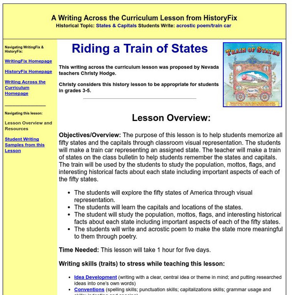
Writing Fix: Riding a Train of States
Help students memorize the states and their capitals with this interactive train-car lesson.
Cynthia J. O'Hora
Mrs. O's House: Make an Internet Fact Hunt About a State
Students will select a state where the class will visit for a class trip. In an effort to have other students learn more about the states and U.S. Territories, they will create a "Fact Hunt" including fifteen bits of information gathered...


