TeachEngineering
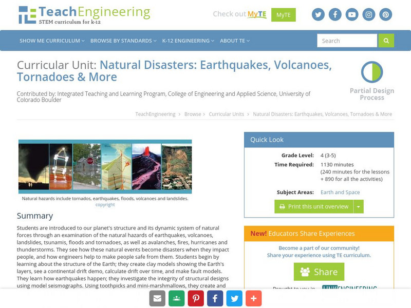
Teach Engineering: Natural Disasters
Students are introduced to our planet's structure and its dynamic system of natural forces through an examination of the natural hazards of earthquakes, volcanoes, landslides, tsunamis, floods and tornados, as well as avalanches, fires,...
National Earth Science Teachers Association
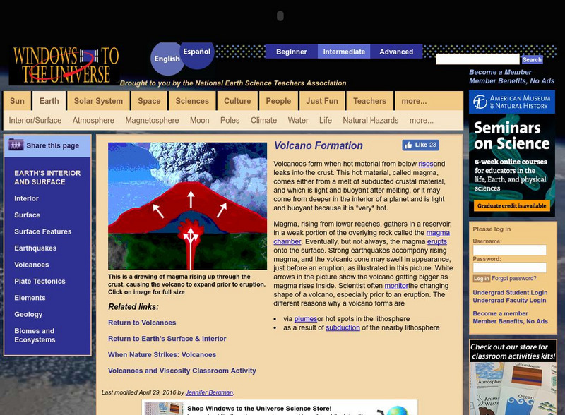
Windows to the Universe: Volcano Formation
Explanation of the factors that result in the formation of volcanoes, some basic but helpful animations and photographs.
Annenberg Foundation
Annenberg Learner: Essential Science for Teachers: Earth and Space 3
Visit an active volcano site to find out the connection between the movement of the Earth's plates and the processes deep within the Earth's interior. [58:23]
NBC
Nbc News: Massive Quake Kills Nearly 10,000 in China
A powerful 7.9 magnitude earthquake struck China, killing about 10,000 people and trapping huge numbers under concrete, steel and earth. Learn more details in this article.
Exploratorium
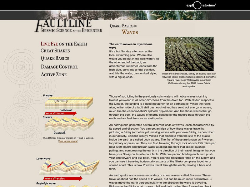
Exploratorium: Faultline: P and S Waves
The different types of earthquake waves are discussed and illustrated. Features geologist video clip.
University of Washington
University of Washington: A Survey of Great Tsunamis
This resource opens up with a clickable map that will provide information on eight different tsunamis, such as the 1929 Grand Banks tsunami, the 1975 Hawaiian tsunami, and several others. Basic information and the damage caused by each...
PBS
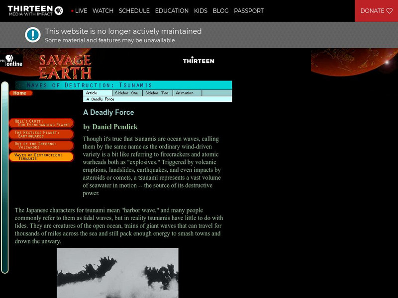
Wnet: Thirteen: Savage Earth: Waves of Destruction: Tsunami
This series of three articles (links) give basic information, describe the different causes of tsunamis, warning systems, past tsunamis and the evidence and destruction left by these waves. Animations are provided that illustrate...
US Geological Survey
U.s. Geological Survey: San Andreas Fault at Wallace Creek
See interactive, 360 degree panoramic photos of the San Andreas Fault. Aerial photos of the fault were taken using a technique called Kite Aerial Photography.
Michigan Technological University
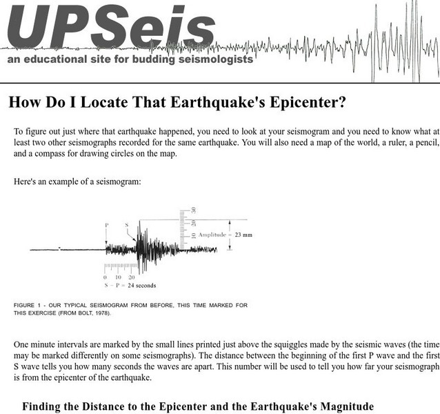
Michigan Tech: Locating an Earthquake's Epicenter
Gives directions on how to find the epicenter of an earthquake, the distance to the epicenter and the magnitude of the earthquake.
US Geological Survey
Usgs: Tsunamis in the Pacific Northwest
This page from the U.S. Geological Survey is devoted to Tsunamis in the Pacific Northwest. View some animations of tsunamis.
Center for Innovation in Engineering and Science Education, Stevens Institute of Technology
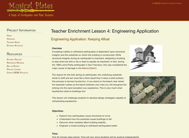
Ciese: Musical Plates: Engineering Application: Keeping Afloat
A instructional activity that looks at how to design a building so that it will withstand an earthquake and not sink or lean over.
US National Archives
Nara: The 1906 San Francisco Earthquake and Fire
The National Archives and Records Administration sheds new light on the 1906 San Francisco Earthquake through this site's use of primary source documents. A series of handwritten and typed documents are provided that look at the...
US Geological Survey
U.s. Geological Survey: Earthquake Center: Glossary
This resource provides definitions of important earthquake related terms.
TeachEngineering
Teach Engineering: Seismic Waves: How Earthquakes Move the Earth
Students learn about the types of seismic waves produced by earthquakes and how they move the Earth. The dangers of earthquakes are presented as well as the necessity for engineers to design structures for earthquake-prone areas that are...
TeachEngineering
Teach Engineering: Natural Frequency and Buildings
Students learn about frequency and period, particularly natural frequency using springs. They learn that the natural frequency of a system depends on two things: the stiffness and mass of the system. Students see how the natural...
Incorporated Research Institutions for Seismology
Iris: Station Monitor
Students can type in their zip code to find and explore the nearest live earthquake station data.
University of Washington
University of Washington: Physics of Tsunamis
The civil engineering department presents the physics of a tsunami. The topics addressed: what does "tsunami" mean; how do tsunamis differ from other water waves; how do earthquakes generate tsunamis; how do landslides, volcanic...
Other
Magnum Photos: Pakistan: Action Aid: Earthquake Relief Efforts, 2005
Images by photojournalist Chris Steele-Perkins showing the devastation in Pakistan after the October 2005 earthquake. He was sent to the quake zone by ActionAid to document the aftermath of the disaster.
Concord Consortium
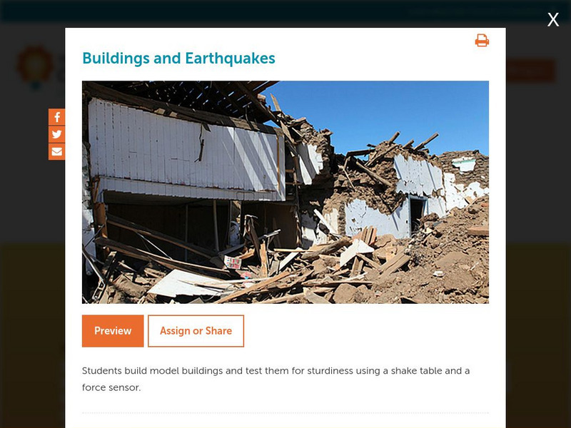
Concord Consortium: Stem Resources: Buildings and Earthquakes
Do you think you can build a house that can withstand the shaking from an earthquake? In this activity, students design and construct model building that will be tested on a shake table with a force sensor. Activity includes questions...
US Geological Survey
U.s. Geological Survey: Earthquakes for Kids
A collection of articles, games, printouts, facts, science fair ideas, and links through which students learn about the history and science of earthquakes and also explore what it takes to be an "earthquake scientist."
Other
Digital Library for Earth System Education: Teaching Box: Mountain Building
A suite of lessons focusing on all aspects of how mountains are formed. Inquiry-based exploration of mountain building includes the rock cycle, mountain formation, plate tectonics, earthquakes, volcanoes, erosion, rocks, minerals, and...
Museum of the City of San Francisco
The Virtual Museum of San Francisco: The 1906 Earthquake
"The Great 1906 Earthquake And Fire" is an extensive site which includes the history of the earthquake and fire, photographs, eyewitness accounts, newspaper stories, information about Charles Richter, and official reports.
Utah State Office of Education
Utah Science: Change Is My Game
Discover the ways in which the Earth's surface is always changing and what causes those changes through reference materials and a collection of activities.
US Geological Survey
U.s. Geological Survey: Earthquakes
This resource provides information about earthquakes, including how they are measured.


