Curated OER
From Sea to Shining Sea
Students study the geography of the United States of America. Students write letters, create travel brochures, make maps, graph population numbers, read fiction and nonfiction selections, complete KWL charts, and watch films.
Curated OER
States And Shapes
Young scholars work together and investigate the shapes of 50 states. They identify the states that they find hardest to recognize. The group then list the states in order from most difficult to just difficult to recognize and create a...
Curated OER
America Will Be
Learners work together to research and create different types of maps of the United States to be used as part of a geography trivia game.Groups research North American annual rainfall, climate, mountain ranges major rivers and state...
Curated OER
Kansas Crops: From Seeds to Food
First graders explore U.S. geography by researching food production. In this agriculture instructional activity, 1st graders identify the process of crops from a seed to a plate and discuss the importance of farmers in the production of...
Curated OER
Rivers... for Kids
Students investigate U.S. geography by exploring it's bodies of water. In this river formation instructional activity, students identify the reasons rivers are needed in our country by reading assigned text. Students examine a diagram...
Curated OER
The Eerie Canal
Students discover bodies of water in the United States by investigating the Eerie Canal. In this U.S. Geography lesson, students discuss Lake Eerie and the canal that was built in order to transport goods. Students research...
Curated OER
Making a Travel Folder
Students explore the United States. In this U.S. geography and expository writing lesson, students select a place in the United States to research. Students take notes and create a travel "folder," or brochure, using the...
Curated OER
States with Attitude, Latitude and Longitude Dude
Sixth graders identify states whose boundaries are formed by lines of latitude and longitude or natural borders such as rivers. They trace a map of the U.S., and fill in borders, rivers and lines of latitude and longitude.
Curated OER
Alaska the Elephant
Learners explore an Internet website, locating and matching the shape of an elephant's head to a state in the U.S. They complete an Alaska worksheet, identifying other geographical locations surrounding Alaska.
Curated OER
A Geopoem About Alaska
Sixth graders conduct Internet research on the physical and human characteristics of Alaska. They compose and write geopoems about the state of Alaska, using a template.
Curated OER
Mapping Martin Luther King Jr.
Students examine geographic locations that were important in Martin Luther King Jr.'s life. They research Martin Luther King Jr., and create U.S. maps that show the locations important to him.
Johns Hopkins University
John Hopkins University: Color Landform Atlas of the u.s.
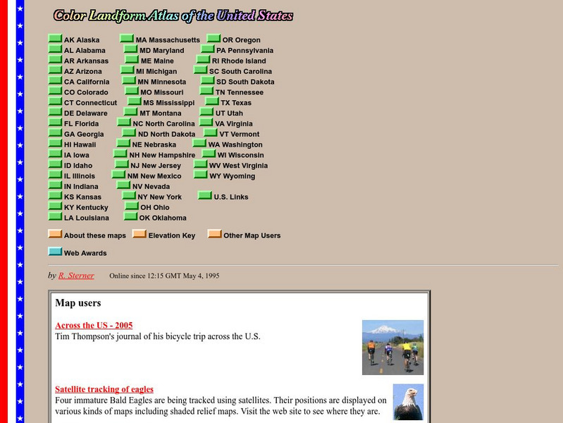
This site from John Hopkins University provides detailed maps of and physical information on each of the 50 states. Maps range from relief maps to satellite images, to historical maps.
Houghton Mifflin Harcourt
Harcourt: School Publishers: Towns in the Northeast
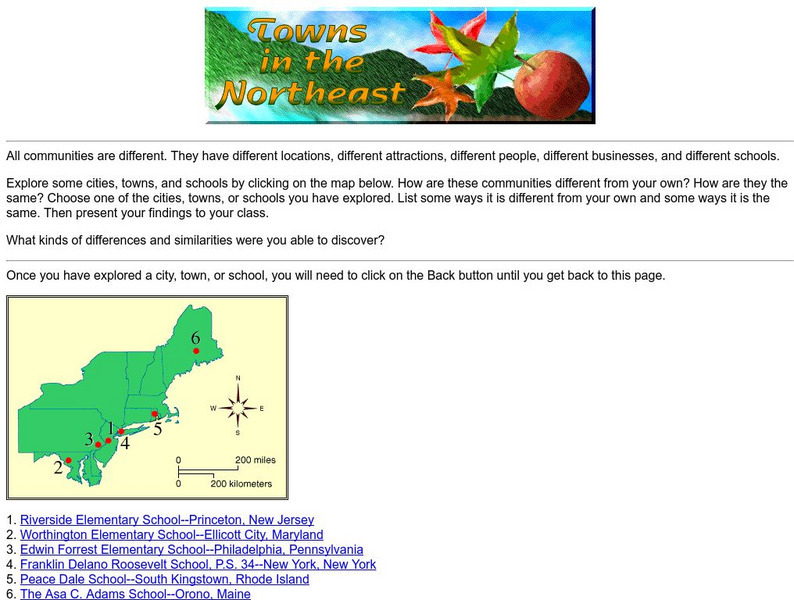
"All communities are different. They have different locations, different attractions, different people, different businesses, and different schools." This site is about some of the cities in the Northeast section of the United States....
Houghton Mifflin Harcourt
Harcourt: School Publishers: Postcards From the Southwest
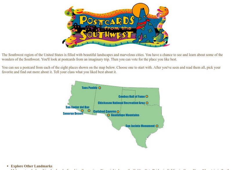
The Southwest region of the United States is filled with beautiful landscapes and marvelous cities. Use this site to see and learn about some of the wonders of the Southwest. You'll look at postcards from an imaginary trip. Then you can...
HotChalk
Hot Chalk: Lesson Plans Page: Edible Geography
Lesson that helps students understand geography of states by creating an edible map of the state, using real food to indicate parts of the state.
US Department of Agriculture
Columbia River Gorge National Scenic Area Columbia River
This site offers information about the Columbia River, its history and gorge geology.
Library of Congress
Loc: America's Story: Washington State
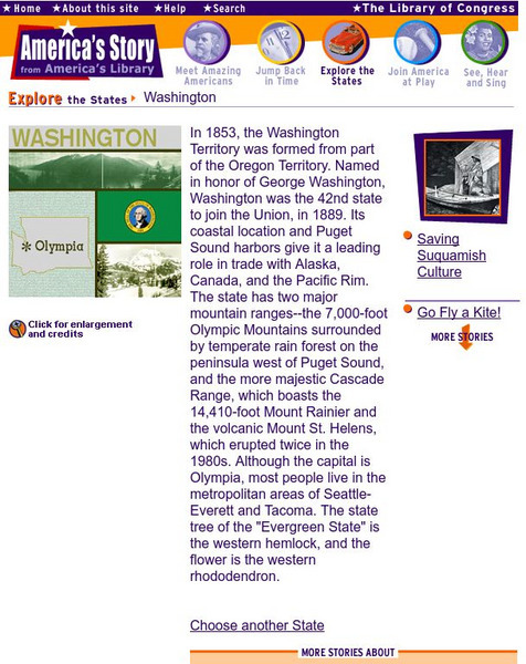
This collection of stories features facts about the state of Washington. Find out about the Milk Carton Derby is. Can you name the borders of Washington state?
ABCya
Ab Cya: u.s. States and Capitals: Penguin Hop
Don't slip on the ice! Up to four students at a time will drill states and capitals with this engaging game of penguins hopping on icebergs. Right and wrong answers are tallied and provided at the end of the game.
ABCya
Ab Cya: Geography Practice: Usa Puzzle Map
Assemble a puzzle of the United States to test your knowledge of its geography.
Fun Brain
Fun Brain: Where Is That?
Test your knowledge of U.S. and world geography. Five levels of games challenge players to identify states, capitals, and countries.
Other
Postcards From America: Homepage
This site is provided for by Postcards From America. Hitch a ride on "Harvey the RV," and share the adventures of several teachers as they explore the great United States of America. Their electronic postcards take a quick "snapshot" of...
ClassFlow
Class Flow: The United States Virgin Islands America's Caribbean
[Free Registration/Login Required] This flipchart introduces the major islands of the United States Virgin Islands. It also introduces calypso music, symbols, and maps.


