Harvard University
Harvard University: Maps and Mapping
This site is provided for by Harvard University. Students follow a map on a scavenger hunt, create a map of their classroom and their town, learn how to read topographic maps, and discover latitude and longitude in these inquiry activities.
Information Technology Associates
Information Technology Associates: Quick Maps
View countries of the world. Maps are quick and easy to read. Some are designed to be printed out for coloring and/or labeling.
Other
Leen Helmink Antique Maps: Finest Early Maps & Prints
Vintage maps showing what maps looked like before photography and computers. User has the ability to search for maps of all of the continents.
Other
Just Maps: World Maps
An index of maps and flags of countries throughout the world. Also provides political maps, time zones, population, and religious maps of every region of the world.
Other
Map of the First and Second Voyages of Vitus Bering
This is simply a black and white map tracing Vitus Bering's two Nordic Expeditions, or ?Kamchatka? Expeditions, which ended in his death in 1741. Students may want to print the map or use as a guide with other resources.
Other
Alaska Travelers Accomm.: Area Map, Southeast Alaska
These maps show areas in Southeast Alaska. You also will find tourist information about each of the areas at this site.
Other
Kamat's Potpurri: The Deccan Plateau
Site provides an image of the area of India called the Deccan Plateau. Also contains hyperlinks to a variety of information about the area.
Other
Nicaragua's Towns,cities, Rivers and Roads on Maps.
See a large map of Nicaragua, then choose any city, town, or waterway, and see it on a map too. The entire country at your finger-tips!
Other
Golf Europe: Golf Clubs in Germany/other
"Germany has 500+ golf clubs with some 300,000+ members which may come as a surprise to some. The game enjoys increasing popularity, attracts respectable sponsorship money and boastsone of the the finest European golfers ever, in the...
Encyclopedia Britannica
Encyclopedia Britannica: Britannica Kids: Ape of Good Hope Map
A map of the Cape of Good Hope.
US Geological Survey
Usgs: The National Map
The United States Geological Survey explains the creation and the uses of the National Map. The student can access the map and explore the United States in an interactive setting.
Other
Bbc: Dimensions: How Big Really?
An interesting way to connect students with world events. Enter in your zip code and this site overlays a world event, such as floods in Pakistan, to show the extent of the event. Included at Ancient Worlds, Evironmental Disasters,...
Other
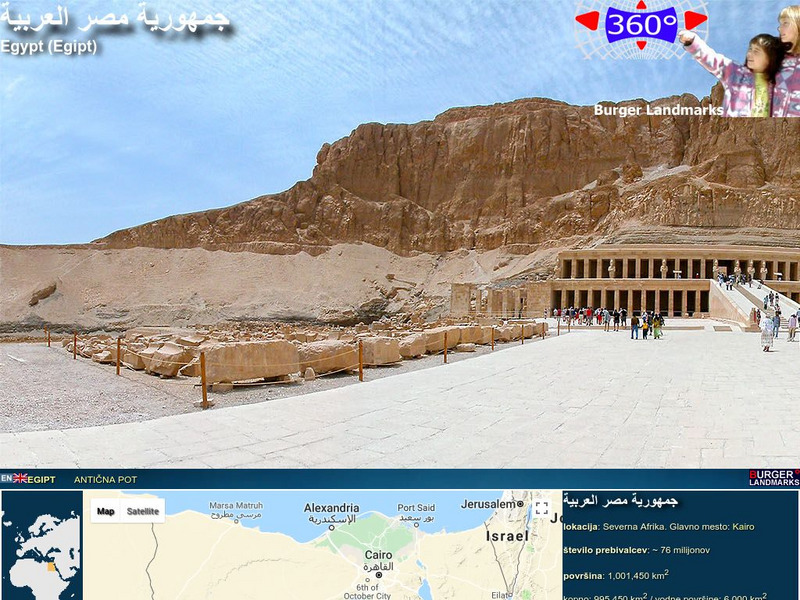
Burger Landmarks: Egypt Landmarks Virtual Panoramic Tour
Take a virtual panoramic tour of Egypt with this fascinating site! Simply click on a photo, or a dot on the map, then click VR panorama, to watch the 360 degree rotation of the picture.
The British Museum
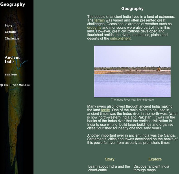
The British Museum: Ancient India Geography
With the help of an online glossary students can take a trip through ancient using maps, or take a virtual pilgrimage. One can also learn about about Indra and the cloud-cattle.
Other
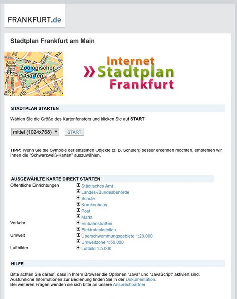
Stadtplan: Frankfurt Am Main
Stadtplan.net provides a zoomable map of Frankfurt, as well as maps of the state of Hessen (Hesse) and Deutschland. In addition to the local map of streets, there is other city info, including links to events such as rock and other...
Other
Conservation History Association of Texas: The Texas Legacy Project: Maps
A collection of links to a variety of maps and exercises about state resources, and help give historic background and regional context to the environmental issues that arise in Texas.
US Geological Survey
Non Renewable Resources
Learn how to enhance economic development and growth. Learn the role of the United States Geographic Survey on locating, quantifying and qualifying non-renewable resources.
NOAA
Noaa: The Coast Survey
At this site from NOAA you can find a complete biography of Hassler and his struggles to complete the Coast Survey in Volume I of the History of the Commissioned Corps of the National Oceanic and Atmospheric Administration.
US Geological Survey
U.s. Geological Survey: Map Your Schoolyard
Lesson plan introduces the concept of maps while providing a forum to practice the skill of navigating using a map.
US Geological Survey
Usgs: Finding Your Way With Map and Compass
This resource has a topographic map that tells you where things are and how to get to them. Use this site to help you use a map and compass to determine your location.
Other
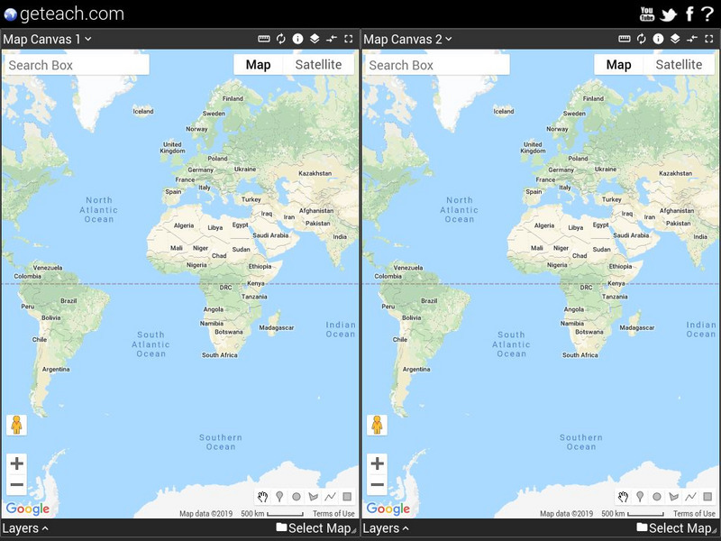
Google Earth Teach: Maps
A free opportunity to allow students and educators to learn and engage using Google Earth. A variety of maps may be selected and multiple layers chosen to display different aspects of each map.
University of Calgary
European Voyages of Exploration: Geography and Cartography
This site provides information on mapmaking and cartograohy of the early explorers. Includes pictures of maps.
Mariners' Museum and Park
Mariners' Museum: Education: Create a Globe [Pdf]
Simple instructions on how to make a globe using a pattern provided, scissors, glue, and a balloon. PDF
Other
The True Size
In an effort to illustrate the spatial concepts of maps, this program provides the ability to select countries or continents and move them over others to better visualize the sizes of each of them.


