Other
Paleomap Project
Virtual reality animation map showing continental drift from 200mya to the present. The animation map is small but effective in showing the positions of the land masses.
Read Works
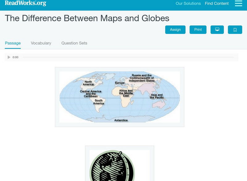
Read Works: The Difference Between Maps and Globes
[Free Registration/Login Required] This informational text passage shares the difference between maps and globes. This passage is a stand-alone curricular piece that reinforces essential reading skills and strategies and establishes...
Japanese Ministry of Foreign Affairs
Web Japan: Map of Japan
A clear map of Japan naming the five main islands and showing the mountains in relief. An inset shows Japan in relation to a map of the world.
Discovery Education
Discovery Education: B. J. Pinchbeck's Homework Helper for Social Studies
The Social Studies section of this popular Homework Helper site contains links to maps and flags, U.S. geography, world history and more.
Other
Ontario Topographic Map
Features a topographical map of Ontario. Click on different options to edit the map.
American-Israeli Cooperative Enterprise
Jewish Virtual Library: The Line of June 4, 1967
Discusses the history of the demarcation lines between Israel and Syria--lines which in part caused the June War.
American-Israeli Cooperative Enterprise
Jewish Virtual Library: Un Partition Plan, September 1947
This authentic UN map depicts the political lines to be drawn to partition Palestine as established in 1947.
American-Israeli Cooperative Enterprise
Jewish Virtual Library: Israeli Population Statistics Table
A table sorting population demographics by religion, age, and urban centers.
American-Israeli Cooperative Enterprise
Jewish Virtual Library: The Partition Plan
The background for creating a plan to partition Palestine, as well as the details of the plan itself and its effects are discussed.
Other
Population Reference Bureau: Country Stats & Reports
This site from the Population Reference Bureau could actually be considered a search engine or the beginning page of a data base. It is a thorough source of information on global population including hyperlinks to organizational sources,...
Other
Stones of Wales
This is an interactive map of Wales, if you click on the major cities, links are provided to give more information.
University of Chicago
University of Chicago Press: What Is a Map? A Collection of Unusual Maps
Showcases a collection of unusual maps from the book "Maps: Finding Our Place in the World." Types of maps included are journey maps, city maps, slave maps, imaginary maps, and handy maps.
Other
Stones of Wales
This is an interactive map of Wales, if you click on the major cities, links are provided to give more information.
Goodwill
Gcf Global: Google Maps
In this tutorial, get answers to common questions about using the popular Google Maps program.
American Geosciences Institute
American Geosciences Institute: Earth Science Week: Houston Activity: Texas Rocks
Using a geologic time scale and map students investigate the rocks in their area.
CommonLit
Common Lit: Maps
A learning module that begins with "Maps" Yesenia Montilla, accompanied by guided reading questions, assessment questions, and discussion questions. The text can be printed as a PDF or assigned online through free teacher and student...
Other
National Museum of Australia: Voyaging With a Needle: Embroidered Maps
Hand-embroidered map samplers, the work of women needle workers from the eighteenth and nineteenth centuries, convey what was known of the world at the time and traces the routes of explorers, such as James Cook, who were then active....
Success Link
Success Link: Bug Explorers for Columbus Day
A fun lesson plan using the voyages of Columbus as a jumping off point to introduce maps and what can be learned from them. Covers content standards for geographic study and evaluating nonfiction works.
Texas Education Agency
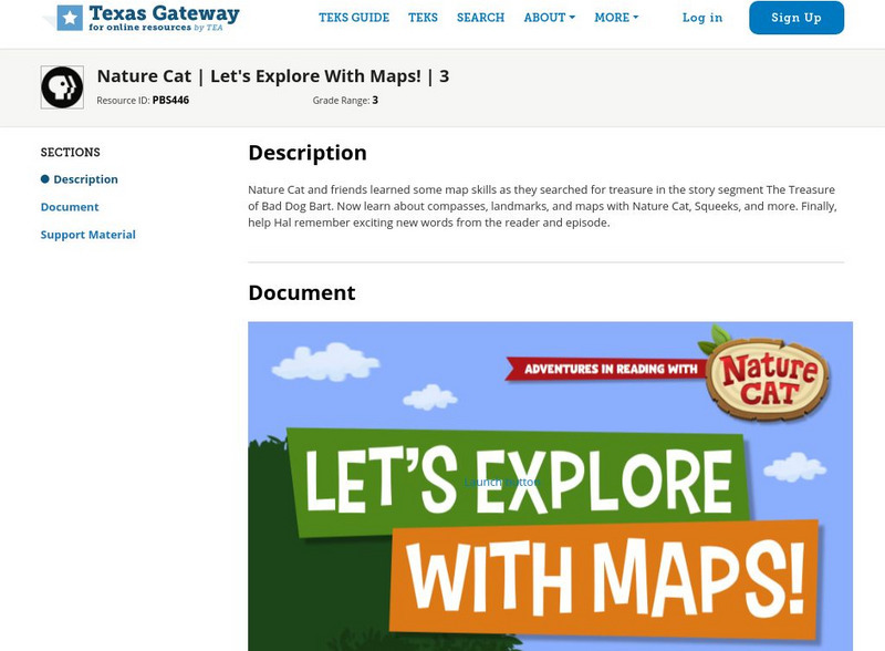
Texas Gateway: Nature Cat: Let's Explore With Maps!: Grade 3
Nature Cat and friends learned some map skills as they searched for treasure in the story segment "The Treasure of Bad Dog Bart". Learn about compasses, landmarks, and maps with Nature Cat, Squeeks, and more. Finally, help Hal remember...
US Geological Survey
Usgs: Trends in Ground Water Use, 1950 2005
This site from USGS describes the importance of ground-water, provides a map of ground-water use (by state), a map of the percent of total withdrawals coming from ground water, and a map of the percent of public-supplied population...
Library of Congress
Loc: Exploring With Lewis & Clark
This site from Library of Congress provides a multimedia site using historical documents to tell the story of the Lewis and Clark Expedition. The movies require high speed access but the site will hold student interest.
Library of Congress
Loc: Music in America Civil War Music
A set of primary sources having to do with music during the Civil War. Analysis tools and teacher guides are included.
US Geological Survey
U.s. Geological Survey: Minerals Information
The USGS offers maps of the locations of mines and mineral processing plants. You can find the sources for everything from aluminum to zircon!
Other
The University of Southern Mississippi: Maps Digital Collection
This Maps Digital collection contains a selection of historical maps that feature Mississippi in the 1800s.


