Other
Map of Costa Rica
This site is maintained by Costa Rica's TravelNet, which claims to be "the oldest and largest Costa Rican tourism site on the Web." The country map shown is easy to read, and you can click in any part of the rectangle that does not...
Other
Marine Geoscience Data System: Tools: Create Maps and Grids
Create your own custom maps and grids with the map tool available on this site.
National Geographic
National Geographic: Mental Maps
Provides the text of Geography Standard 2 for fourth, eighth, and twelth grades along with relevant activities, lesson plans, and learning activities.
Texas State Library and Archives Commission
Texas State Library and Archives Commission: Hazardous Business: Line and Lands of the Texas & Pacific Railway, 1873
Here's a map showing the Texas & Pacific Railway. Click on link to get larger version which shows the route across Texas as well as an inset which shows how the railway connected to other railroads in the U.S.
Sophia Learning
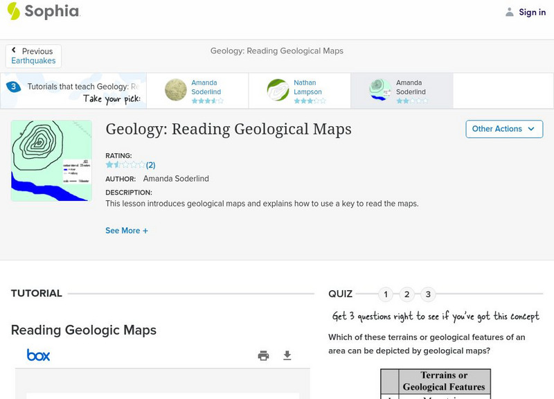
Sophia: Geology: Reading Geological Maps: Lesson 3
This lesson introduces geological maps and explains how to use a key to read the maps. It is 3 of 3 in the series titled "Geology: Reading Geological Maps."
Ducksters
Ducksters: United States Geography for Kids: New Hampshire
Kids learn facts and geography about the state of New Hampshire including symbols, flag, capital, bodies of water, industry, borders, population, fun facts, GDP, famous people, and major cities.
Other
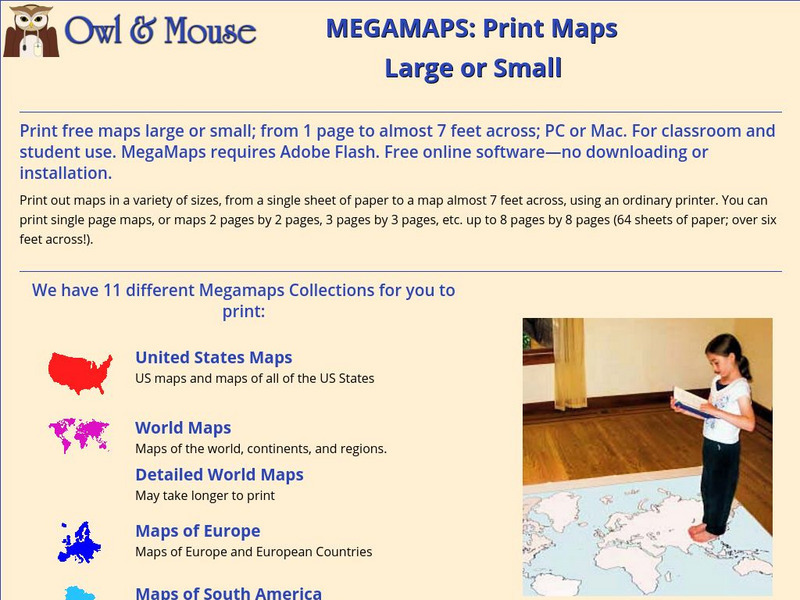
Owl & Mouse: Megamaps
This site allows you download and print out a variety of maps in a variety of sizes.
Center for Literacy and Disability Studies, University of North Carolina at Chapel Hill
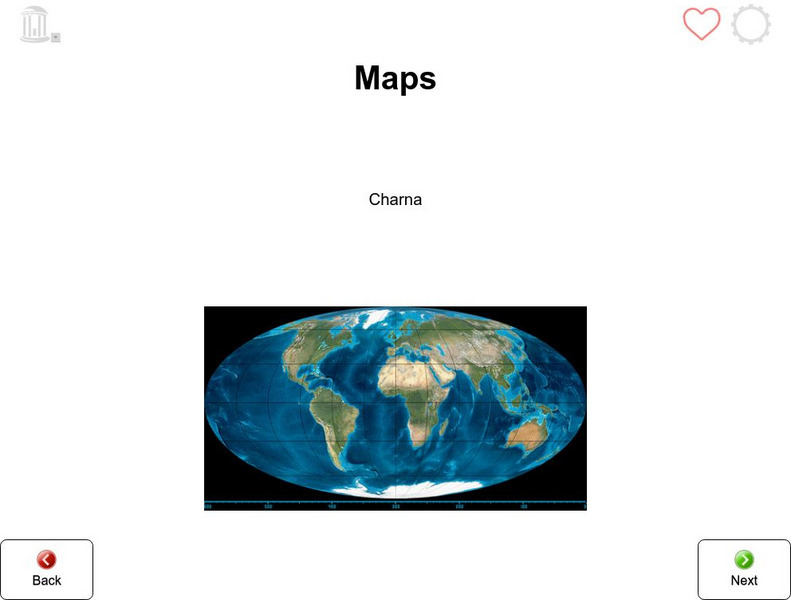
Tar Heel Reader: Maps
X marks the spot! Maps tell us many things which are illustrated in this informational text.
Center for Literacy and Disability Studies, University of North Carolina at Chapel Hill
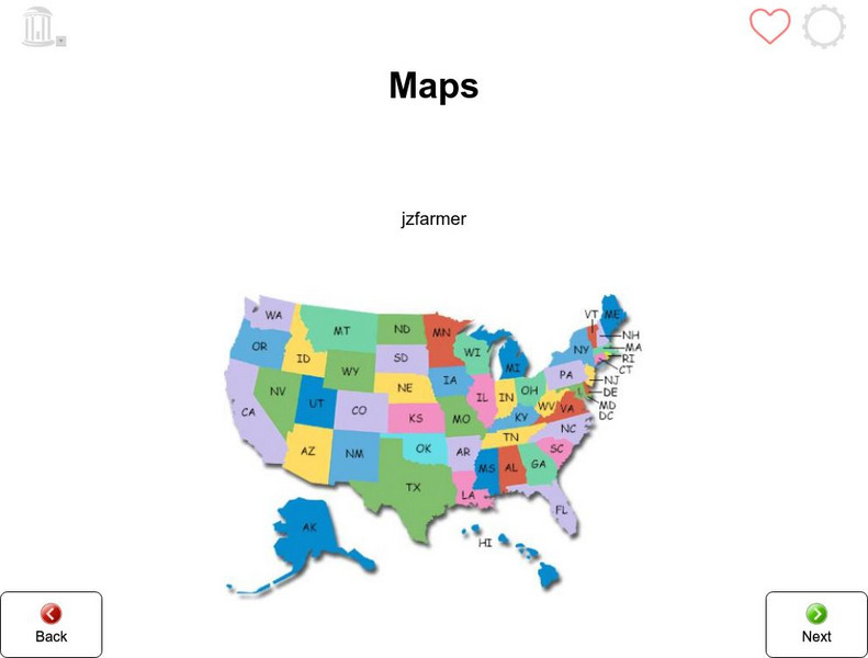
Tar Heel Reader: Maps (3)
Purposes, parts, and types of maps are featured for students to explore.
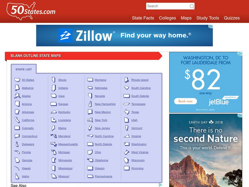
50 States
50 States: Blank Outline State Maps
All fifty states are linked here to outline maps of each. Also includes outline map of the United States.
Careers New Zealand
Careers Nz: Surveyor
This KiwiCareers site contains information on becoming a surveyor in New Zealand. While some of the information is specific to New Zealand, most of it is uniform to the career.
ClassFlow
Class Flow: Neighborhood
[Free Registration/Login Required] This flipchart helps students learn about neighborhoods, maps and directions and uses the Activotes.
ClassFlow
Class Flow: Thinking Maps Bridge Map
[Free Registration/Login Required] Teach your students to visualize the writing process using this graphic organizer as a tool.
ClassFlow
Class Flow: Thinking Maps Multi Flow Map
[Free Registration/Login Required] Teach your students to visualize the writing process using this graphic organizer as a tool.
ClassFlow
Class Flow: Thinking Maps the Brace Map
[Free Registration/Login Required] Teach your students to visualize the writing process using this graphic organizer as a tool.
ClassFlow
Class Flow: Thinking Maps the Circle Map
[Free Registration/Login Required] Teach your students to visualize the writing process using this graphic organizer as a tool.
ClassFlow
Class Flow: Thinking Maps the Double Bubble
[Free Registration/Login Required] Teach your students to visualize the writing process using this graphic organizer as a tool.
ClassFlow
Class Flow: Thinking Maps the Flow Map
[Free Registration/Login Required] Teach your students to visualize the writing process using this graphic organizer as a tool.
ClassFlow
Class Flow: Thinking Maps the Tree Map
[Free Registration/Login Required] Teach your students to visualize the writing process using this graphic organizer as a tool.
ClassFlow
Class Flow: Tornados in the Us
[Free Registration/Login Required] Overview: In this lesson, students will learn the basics about how tornadoes are formed, and when and where they are most likely to occur. They will learn that the United States is the country most...
Lonely Planet
Lonely Planet : Honduras Map
Lonely Planet provides a thorough map of Honduras including all major cities, surrounding countries, and bodies of water.
Other
Uboat.net: The Bay of Biscay
This site from Uboat.net provides information about the sunken U-boats of 1939-1945 in the Bay of Biscay.
ClassFlow
Class Flow: Western Europe
[Free Registration/Login Required] I have created a brief flip chart to introduce my students to Western Europe. I have 3 different maps of Europe and slides on each of the Western European Countries.
ClassFlow
Class Flow: Maps and Globes
[Free Registration/Login Required] This flipchart reviews map and globe features. The seven continents, four oceans, and city-county-state-country relationships are also explained. Student assessment on directions is included.


