Other
The Story of the Us Told in 141 Maps
This collection of United States maps includes a year-by-year. Beginning from the Declaration of Independence and extending to present-day, students will learn explore and interact with these maps that change year-by-year.
US Geological Survey
Usgs: Maps of the United States
Resource presents many maps of the United States along with descriptions of each.
Michigan State University
Michigan State University: Map of Afghanistan 2001
A detailed 2001 political map of Afghanistan including the edges of surrounding countries.
PBS
Pbs: Frontline: The Gulf War
PBS Online and the TV show "Frontline" present information on the Persian Gulf War, a timeline, various maps, personal testimonies, and other resources.
Wesleyan University
Wesleyan University: Music in the Afghan North, Ethnolinguistic Map
From Wesleyan University this is an ethnolinguistic map of Afghanistan.
University of Texas at Austin
The Perry Castaneda Library Map Collection
This collection contains more than 250,000 maps covering all areas of the world, and ranging from political and shaded relief maps to the detailed and the historical. Select from a region of the world or an area of highlighted interest.
University of Texas at Austin
Perry Castaneda Library Map Collection: Indonesia
The Perry-Castaneda Library at the University of Texas provides an outstanding collection of maps of the country of Indonesia. PDFs (require Adobe Reader).
University of Texas at Austin
Perry Castaneda Library Map Collection: Iran
The Perry-Castaneda Library at the University of Texas provides an outstanding collection of maps of the country of Iran. Also links to maps from other online sources.
University of Texas at Austin
Perry Castaneda Library Map Collection: Iraq
The Perry-Castaneda Library at the University of Texas provides an outstanding collection of maps of the country of Iraq. Also links to maps from other online sources.
University of Texas at Austin
Perry Castaneda Library Map Collection: Israel
The Perry-Castaneda Library at the University of Texas provides an outstanding collection of maps of the country of Israel. Also links to maps from other online sources.
University of Texas at Austin
Perry Castaneda Library Map Collection: Japan
The Perry-Castaneda Library at the University of Texas provides an outstanding collection of maps of the country of Japan. Also links to maps from other online sources.
University of Texas at Austin
Perry Castaneda Library Map Collection: Korea Maps
The Perry-Castaneda Library at the University of Texas provides an outstanding collection of maps of the country of both North and South Korea. Also links to maps from other online sources. PDF's (require Adobe Reader).
University of Texas at Austin
Perry Castaneda Library Map Collection: Mexico Maps
This site provides a wealth of maps relating to the country of Mexico.
University of Texas at Austin
Perry Castaneda Library Map Collection: Afghanistan
Here you will find a collection of maps of Afghanistan from the Perry-Castaneda Collection. There are political maps, relief maps, cultural maps, historical maps, and links to maps on other sites.
University of Texas at Austin
University of Texas: South Africa Map Collection
The Perry-Castaneda Library Map Collection from the University of Texas provides an assortment of maps from South Africa detailing its provinces, politics, and relief. Content also includes various historical, city, and territory maps.
University of Texas at Austin
University of Texas: India
This collection of maps of India from the Perry-Castaneda Collection offers political maps, historical maps, maps of individual territories, and cultural maps.
University of Texas at Austin
France
Excellent series of maps from University of Texas at Austin - Provides political and shaded relief maps of France and a multitude of historical maps and maps of overseas territories overseas. Also includes maps of several large cities.
University of Texas at Austin
Kashmir Maps
Specially prepared maps from the Perry-Castaneda Library Map Collection.
University of Texas at Austin
University of Texas: Qatar: 7 Maps and Charts
This is a nice set of maps of Qatar from the Perry-Castandeda Collection which includes a map of the country, population map, map of economic activity, among others.
University of Texas at Austin
Geodia
An easy way for people to visualize the temporal, geographic, and material aspects of ancient Mediterranean civilizations. The map displays important archaeological sites and historical events of the ancient Mediterranean world in both...
National Geographic
National Geographic: Measuring Distances on a Map
Activities will enhance students' understanding of how to read the map scale and apply it to measuring distances between locations.
National Geographic
National Geographic: More Physical Geography and Borders
Lesson on the physical features that create borders and boundaries. Small group and whole class activities, background information, worksheets and assessment.
Other
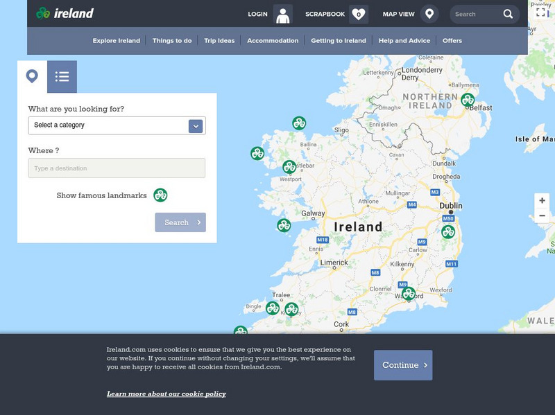
Ireland: Explore by Map
An interactive map of Ireland, with the ability to zoom-in or zoom-out, plus detailed maps of regions and cities. A link to the current weather in Ireland is also available.
Central Intelligence Agency
Cia: World Factbook: Regional and World Maps
Website from the Central Intelligence Agency (CIA) provides interactive reference material for regional and world maps in the World Factbook Library. Students and teachers can search for information about any country in the world.


