Other
Discover Canada Through National Maps and Facts: Relief
Links to all of Canada's provinces and territories relief maps. Maps can be viewed as a picture or as a .pdf file. Be sure to check out the links to lesson plans as well as the many other types of maps.
Library of Congress
Loc: Civil War Maps: History of Mapping the Civil War
Investigate the importance of mapping to both the Union and the Confederates in planning their military strategy. From the Library of Congress.
Library of Virginia
Virginia Memory: My County Tis of Thee: Counties of Virginia
A lesson in how to use historical maps to identify Virginia's counties and learn the political geography of Virginia.
Other
Geoscience Australia: Landslides
Provides information on recent Australian landslides, maps of Australian landslides, landslide risk assessment, a survival guide, and a shore safety pamphlet. Use the toolbar to your left to navigate through the different information on...
Google
Google for Education: Applying Discrete and Continuous Data in a Map
Using various tools, student will be able to analyze and calculate the amount of urban open space available in their city.
Middle East Policy Council
Mepc: Teach Mideast: Comparing Maps of the Middle East
A lesson plan to explore the Middle East region via maps and classroom discussion to better understand the Middle East. An Internet connection is needed to utilize the links provided.
Other
Mapquest
Find website allows you to get step-by-step walking or driving directions to your destination and to avoid traffic with optimized routes. It will also give you information about hotels, food, gas, shopping, etc. along the route or nearby.
C3 Teachers
C3 Teachers: Inquiries: Maps and Globes
A comprehensive learning module on maps and globes that includes three supporting questions accompanied by formative tasks and source materials, followed by a summative performance task. Students learn what a map and a globe are and the...
TeachEngineering
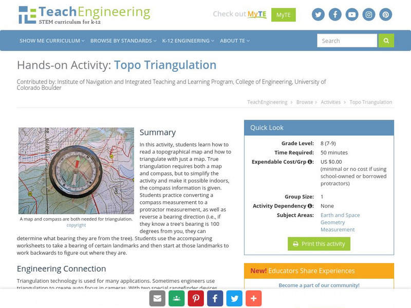
Teach Engineering: Topo Triangulation
In this activity, students will learn how to read a topographical map and how to triangulate with just a map. True triangulation requires both a map and compass, but to simplify the activity and make it possible indoors, the compass...
Other
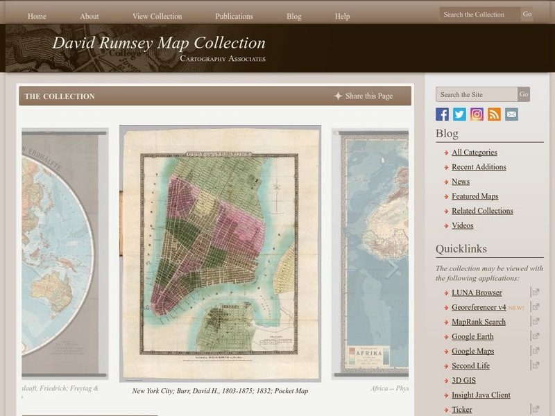
The David Rumsey Historical Map Collection
"The David Rumsey Historical Map Collection focuses on rare 18th and 19th century North and South America cartographic history materials. Historic maps of the World, Europe, Asia, and Africa are also represented. The collection...
Other
Physical Geography: Glossary of Terms
Teachers who are looking for a complete course study in physical geography need this site. It is very well organized and colorfully designed. It contains an online glossary, study guides, links, clip art, maps etc.
Central Intelligence Agency
Cia: World Factbook: Regional and World Maps
Maps of major areas of the world can be downloaded here. The maps have excellent detail and are in color.
Harry S. Truman Library and Museum
Harry S. Truman Library & Museum
Everything you wanted to know and more about Harry S. Truman, from biographical information to love letters.
Lonely Planet
Lonely Planet: Map of Argentina
A basic color map of Argentina is offered at this site, with major cities identified.
Lonely Planet
Lonely planet.com: Color Map of Nicaragua
This site has a great full color map of Nicaragua complete with cities, rivers and lakes detailed. Or you can choose the "zoom out" feature and see all of Central America and the Caribbean.
Library of Congress
Loc: Discovery and Exploration
This American Memory site documents the discovery and exploration of the Americas with both manuscripts and published maps, many of which date from the European Age of Discovery. The site includes 22 map titles and descriptions, as well...
BBC
Bbc News: In Depth: Kashmir Flashpoint
An indepth look of the Kashmir conflict updated to 19 May 2011.
US Geological Survey
U.s. Geological Survey
The U.S. Geological Survey reports on the latest news affecting the earth today, as well as providing a wealth of data, reports, and information.
Annenberg Foundation
Annenberg Learner: Renaissance: Exploration and Trade
Detailed introduction on exploration and trade during the Renaissance. Provides an overview of the tools created during the Middle Ages that made such travels by sea possible as well as insight into the types of goods traders sought in...
Books in the Classroom
Carol Hurst's Children's Literature Site: Catherine, Called Birdy
Cross-curricular online resource on the book "Catherine Called Birdy," by Karen Cushman. Includes discussion questions and engaging learning activities.
Google
Google Earth Explore, Search and Discover
Find a specific location in the world. View exotic locations, famous buildings, and even your own home! See the terrain and buildings in 3D. Search for restaurants, hotels, parks and schools within a certain area.
Google
Google Earth Explore, Search and Discover
Find a specific location in the world. View exotic locations, famous buildings, your own home! See the terrain and buildings in 3D. Search for restaurants, hotels, parks and schools within a certain area.
University of Texas at Austin
University of Texas: Central African Republic Maps
Click on these maps of Central African Republic to see a political map, relief map, and a small, clear map. Find the major cities, highways, and neigboring countries. From the Perry Castaneda Collection. Includes PDFs (require Adobe...
University of Texas at Austin
Perry Castaneda Library Map Collection: Jordan
The Perry-Castaneda Library at the University of Texas provides an outstanding collection of maps of the country of Jordan. Also links to maps from other online sources.


