Curated OER
US: Western Region Map
In this U. S. Western Region outline map worksheet, students examine boundaries of each of the states and the placement of the capital cities. This map is not labeled.
Curated OER
USA Postal Abbreviations Map
In this United States political map worksheet, students examine the postal abbreviations of each of the states.
50 States
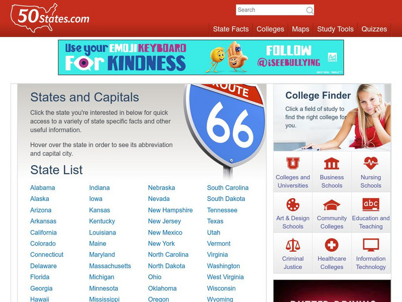
50 States: States and Capitals
This guide to the 50 U.S. states provides maps, pictures of state symbols, statistical information, and links to many other related sights. Test your knowledge with one of the quizzes or search for one of the fun facts.


