Houghton Mifflin Harcourt
Holt, Rinehart and Winston: America Del Sur: Chile
This site has a map of Chile in Spanish, with informational data also presented in Spanish about the country. Land mass, population, life expectancy, literacy, industry, agriculture, minerals and resources are among the topics addressed....
Houghton Mifflin Harcourt
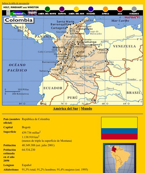
Holt, Rinehart and Winston: America Del Sur: Colombia
This site has a map of Colombia in Spanish, with informational data also presented in Spanish about the country. Land mass, population, life expectancy, literacy, industry, agriculture, minerals and resources are among the topics...
Houghton Mifflin Harcourt
Holt, Rinehart and Winston: America Del Sur: Venezuela
This site has a map of Venezuela in Spanish, with informational data also presented in Spanish about the country. Land mass, population, life expectancy, literacy, industry, agriculture, minerals, and resources are among the topics...
Houghton Mifflin Harcourt
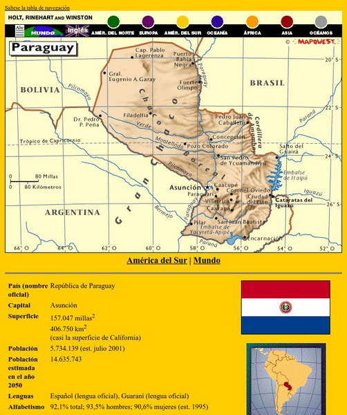
Holt, Rinehart and Winston: America Del Sur: Paraguay
This site has a map of Paraguay in Spanish, with informational data also presented in Spanish about the country. Land mass, population, life expectancy, literacy, industry, agriculture, minerals and resources are among the topics...
Houghton Mifflin Harcourt
Holt, Rinehart and Winston: America Del Sur: Peru
This site has a map of Peru in Spanish, with informational data also presented in Spanish about the country. Land mass, population, life expectancy, literacy, industry, agriculture, minerals and resources are among the topics addressed....
Houghton Mifflin Harcourt
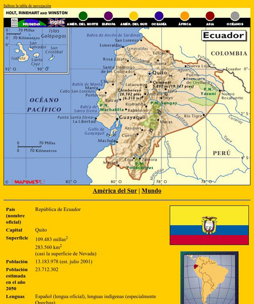
Holt, Rinehart and Winston: America Del Sur: Ecuador
This site has a map of Ecuador in Spanish, with informational data also presented in Spanish about the country. Land mass, population, life expectancy, literacy, industry, agriculture, minerals, and resources are among the topics...
Houghton Mifflin Harcourt
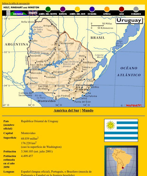
Holt, Rinehart and Winston: America Del Sur: Uruguay
This site has a map of Uruguay in Spanish, with informational data also presented in Spanish about the country. Land mass, population, life expectancy, literacy, industry, agriculture, minerals and resources are among the topics...
BBC
Bbc: Landscapes: Map Skills: Grid References
Young map readers will learn the idea of referring to the grid numbers to help find locations or to describe locations on a map.
Wolfram Research
Wolfram Math World: Map
A brief description of a map. There are also many links about related map topics, included on this MathWorld site.
Wikimedia
Wikipedia: Associative Array
A Wikipedia description of the abstract data type known by several names, including map, dictionary, associative array, lookup table, and others.
Foundation for the Advancement of Mesoamerican Studies
Famsi: Gulf Coast Area
The map here shows the Gulf Coast area of Mexico and the locations of modern and ancient cities and towns, including Olmec sites.
Minneapolis Institute of Arts
The Minneapolis Institute of Arts: Yuan Dynasty Map
This site from The Minneapolis Institute of Arts provides a full color map that details the expanse of the Yuan Dynasty from 1280 - 1365 A.D.
Other
Tomas Kubes: Google Map Generator
A free site that customizes Google maps that can be inserted into a website.
Other
Map Channels: Dual Maps
"Dual maps combine Google Maps, Google Street View and Microsoft Bing Maps into one embeddable control" that allows the user to customize to fit their needs.
Other
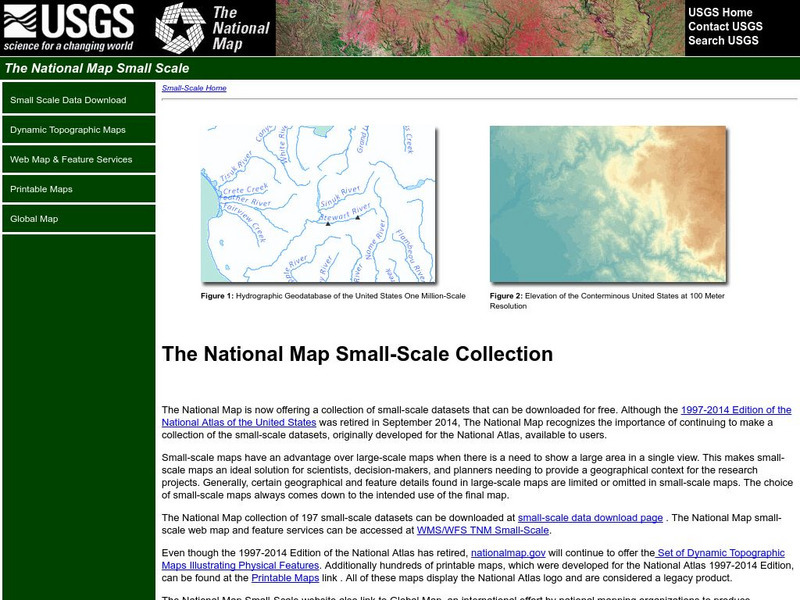
National Atlas of the United States
This National Atlas of the United States site gives maps and atlases online.
Other
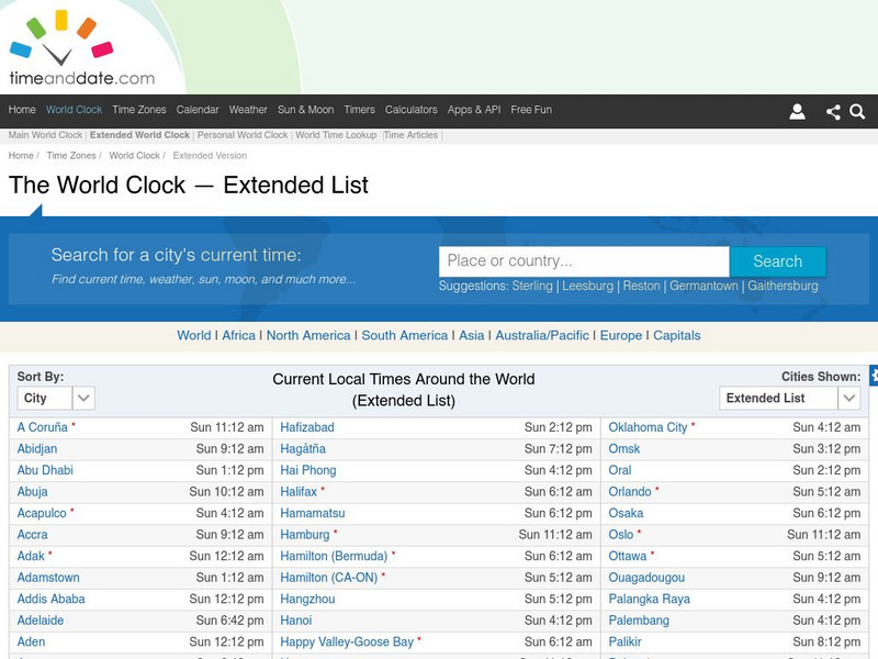
Time and date.com: The World Clock Time Zones
This website has a variety of time resources. You can find a major city and its time. If you click on that city it will give you lots of information.
University of Georgia
University of Georgia: A Map of North America (1784)
A large and detailed Dutch map of North America as known to the Europeans in 1784.
University of Georgia
University of Georgia: Map of Va, Nc, Sc, Ga, and Fl (1788)
A 1788 map of the the new U.S. states of Virginia, North Carolina, South Carolina, Georgia and the Spanish lands of Florida.
University of Georgia
University of Georgia: The United States of North America in 1796
A large map from 1796 of the U.S. States and Territories at the time.
University of Georgia
University of Georgia: A Map of United States of America (1827)
A large and surprisingly accurate map from 1827 of the U.S. States and Territories at the time. Clearly shows borders of states and territories as known at the time.
University of Georgia
University of Georgia: Map of Southern u.s. (1806)
A detailed 1806 map of the southern U.S. States and Territories and Spanish Florida showing borders, rivers, mountains and overland trails.
US Geological Survey
Usgs: Learning Directions on a Map (Lesson Plan)
This site provides a lesson plan in which young scholars will learn to use north, south, east, and west to identify relative locations and provide directions.
Instituto Latinoamericano de la Comunicacion Educativa
Red Escolar: Coloreando Matematicas
In Spanish. Cartographers know that four colors are enough to illuminate their maps thus making their maps clear and easy to understand. Try to color the maps by following the two rules: 1) use the least number of colors and 2) keep in...
Enchanted Learning
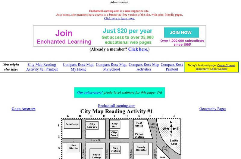
Enchanted Learning: City Map Reading Activity #1
Using a diagram of a labeled map, students follow the directions given to find a certain location.


